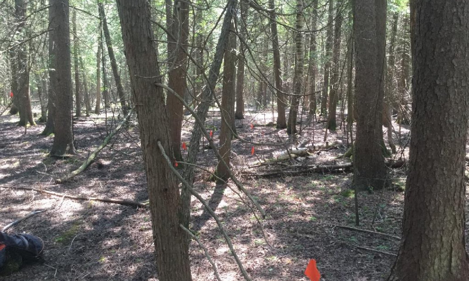
Moist Clayey Lowland
Scenario model
Current ecosystem state
Select a state
Management practices/drivers
Select a transition or restoration pathway
-
Transition T1A
Stand replacing disturbance that includes fire.
More details -
Transition T1B
Removal of forest cover and tilling for agricultural crop production.
More details -
Restoration pathway R2
Deciduous forest community is slowly taken over by shade tolerant maples and other species.
More details -
Transition T2A
Removal of forest cover and tilling for agricultural crop production.
More details -
Restoration pathway R3A
Cessation of agricultural practices leads to natural reforestation, or site is replanted.
More details -
Restoration pathway R3B
Cessation of agricultural practices leads to natural reforestation, or site is replanted.
More details -
No transition or restoration pathway between the selected states has been described
Target ecosystem state
Select a state
Description
The reference plant community is categorized as mesic to wet-mesic forest community dominated by mixed deciduous species, primarily Sugar maple, Basswood, and Ashes. Several other associates including elms, oaks, and birches may occur as well. Shrub layers are usually poorly developed on this ES and may only contain gooseberries and regenerating tree species. Ground flora is likely to consist of jewelweed, wild geranium, virginia creeper, and ferns. Although forest communities can vary greatly in terms of species composition and stand structure, depending on type, degree, and frequency of disturbance, two common phases predominate.
Submodel
Description
Post disturbance pioneer community of aspen and red maple with mixtures of other species from available seed sources (ashes, elms, oaks, and white birch) are common in this state. This state can have broad variation depending on what seed sources are available as these sites readily supply water and nutrients in quantities that many species can thrive with. Depending on age and tree species composition the shrub and herb layer in this state can vary considerably. Namely with the dominance of aspen there is likely to be very little in the shrub layer.
Submodel
Mechanism
Major stand-replacing disturbance. In pre-European settlement time, the event was most often a severe blow down, sometimes followed by fires. Such blow downs have been estimated to occur in this part of Wisconsin every 300 to 400 years (Schulte and Mladenoff, 2005). In post settlement virtually every acre has been logged either by clear cutting or successive cuts targeting species marketable at that time. Post logging slash fires also have been a significant factor in most areas. These disturbances created the environment suitable for natural regeneration of many shade-intolerant species and for commercial planting.
Mechanism
Removal of forest cover and tilling for agricultural crop production
Mechanism
Deciduous forest community is slowly invaded by shade tolerant species. Deciduous forest community is slowly invaded by conifers.
Mechanism
Removal of forest cover and tilling for agricultural crop production.
Mechanism
Abandonment of agricultural practices and allowing natural vegetation to colonize the site or apply artificial afforestation. The site can return much more quickly to the Deciduous Forest State as compared to the Reference State.
Model keys
Briefcase
Add ecological sites and Major Land Resource Areas to your briefcase by clicking on the briefcase (![]() ) icon wherever it occurs. Drag and drop items to reorder. Cookies are used to store briefcase items between browsing sessions. Because of this, the number of items that can be added to your briefcase is limited, and briefcase items added on one device and browser cannot be accessed from another device or browser. Users who do not wish to place cookies on their devices should not use the briefcase tool. Briefcase cookies serve no other purpose than described here and are deleted whenever browsing history is cleared.
) icon wherever it occurs. Drag and drop items to reorder. Cookies are used to store briefcase items between browsing sessions. Because of this, the number of items that can be added to your briefcase is limited, and briefcase items added on one device and browser cannot be accessed from another device or browser. Users who do not wish to place cookies on their devices should not use the briefcase tool. Briefcase cookies serve no other purpose than described here and are deleted whenever browsing history is cleared.
Ecological sites
Major Land Resource Areas
The Ecosystem Dynamics Interpretive Tool is an information system framework developed by the USDA-ARS Jornada Experimental Range, USDA Natural Resources Conservation Service, and New Mexico State University.
