Natural Resources
Conservation Service
Ecological site F101XY005NY
Dry Outwash
Last updated: 10/03/2024
Accessed: 04/10/2026
General information
Provisional. A provisional ecological site description has undergone quality control and quality assurance review. It contains a working state and transition model and enough information to identify the ecological site.
MLRA notes
Major Land Resource Area (MLRA): 101X–Ontario-Erie Plain and Finger Lakes Region
Most of the MLRA is a nearly level to rolling plain. Low remnant beach ridges are commonly interspersed with a relatively level lake plain in the northern part of the area. Drumlins (long, narrow, steep-sided, cigar shaped hills) are prominent in an east-west belt in the center of the area. The Finger Lakes Region consists of a gently sloping to rolling till plain. Elevation is 330 to 1,310 feet increasing gradually from the shores of Lake Ontario and Lake Oneida to the Allegheny Plateau, the southern border of the area. The bedrock underlying this area consists of alternating beds of limestone, dolomite, sandstone, and shale of Ordovician to Devonian age. Most of the surface of the area is covered with glacial till or lake sediments. The texture of the lake sediments is silt, loam, or sand. Ancient beaches, formed at different lake levels, form ridges along the shoreline of Lake Erie and Lake Ontario. Stratified drift (eskers and kames) and glacial outwash deposits are in many of the valleys. A large drumlin field occurs in the Finger Lakes Region.
Classification relationships
USDA-NRCS (USDA, 2006):
Land Resource Region (LRR): L — Lake States Fruit, Truck Crop, and Dairy Region
Major Land Resource Area (MLRA): 101— Ontario-Erie Plain and Finger Lakes Region
USDA-FS (Cleland et al., 2007)
Province: 211 — Northeastern Mixed Forest Province (in part)
Section: 211J — Mohawk Valley (in part)
Subsection: 211Jd — Mohawk Valley
Province: 222 — Midwest Broadleaf Forest Province (in part)
Section: 222I — Erie and Ontario Lake Plain
Subsection: 222Ia — Lake Erie Plain
222Ib — Erie-Ontario Lake Plain
222Ic — Eastern Ontario Till Plain
222Id — Cattaraugus Finger Lakes Moraine and Hills
222Ie — Eastern Ontario Lake Plain
Ecological site concept
Landform/Landscape Position:
The site occurs on outwash plains, terraces, moraines, kames, and eskers . Slopes range from 0 to 60 percent.
Soils:
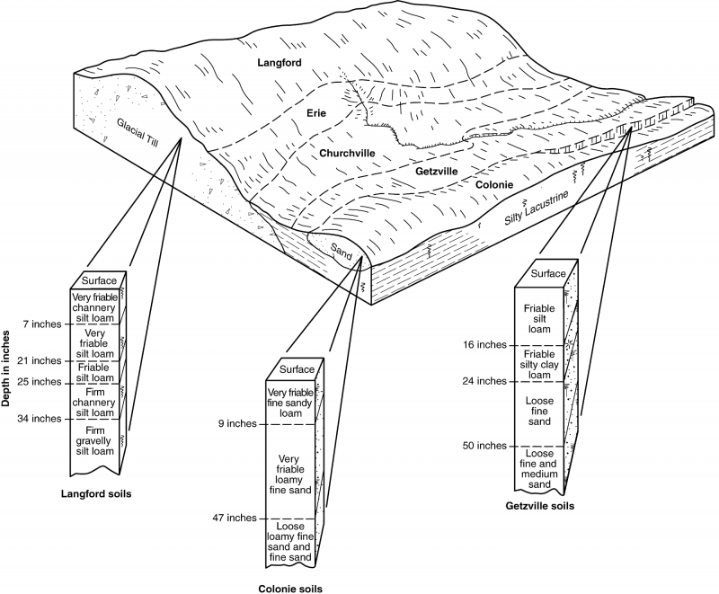
The site consists of very deep, well drained or somewhat excessively drained soils formed in gravelly glacial outwash deposits. Soils are typically moderately coarse to coarse textured. Soils are generally non-acid or have a high base status. Representative soils are Alton, Arkport, Blasdell, Colonie, Copake, Howard, Hinckley, Palmyra, Plainfield, Riverhead, and Wampsville mapped within MLRA 101.
Vegetation:
The representative plant communities are varied but consist largely of pines (eastern white and in some very sandy areas pitch pine) and oaks (black, chestnut, scarlet, northern red, and white).
Associated sites
| F101XY006NY |
Moist Outwash Moist Outwash sites are lower in the landform profile. |
|---|
Similar sites
| F101XY008NY |
Well Drained Lake Plain Well Drained Lake Plain sites sites are very similar but typically more enriched. |
|---|
Table 1. Dominant plant species
| Tree |
(1) Quercus velutina |
|---|---|
| Shrub |
Not specified |
| Herbaceous |
Not specified |
Click on box and path labels to scroll to the respective text.