Natural Resources
Conservation Service
Ecological site R103XY018MN
Shallow Lakes
Last updated: 10/04/2023
Accessed: 02/07/2026
General information
Provisional. A provisional ecological site description has undergone quality control and quality assurance review. It contains a working state and transition model and enough information to identify the ecological site.
MLRA notes
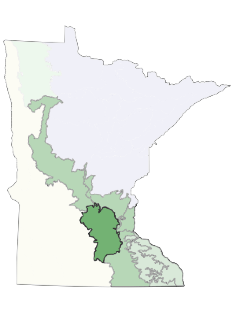
Major Land Resource Area (MLRA): 103X–Central Iowa and Minnesota Till Prairies
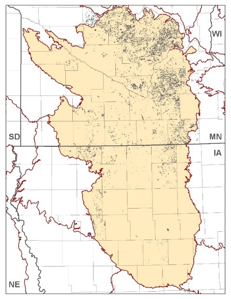
MLRA 103 is in Minnesota (56 percent) and Iowa (44 percent) and consists of approximately 18 million acres. It is in the Western Lake Section of the Central Lowland Province of the Interior Plains in an area known as the "Des Moines Lobe" of the Wisconsin-age ice sheet. The MLRA is mostly on a young, nearly level to gently rolling, glaciated till plain that has moraines and glacial lake plains in some areas. The plain is covered with glacial till, outwash, and glacial lake deposits. Recent alluvium consisting of clay, silt, sand, and gravel fill the bottoms of most of the major river valleys. Paleozoic bedrock sediments, primarily shale and limestone, underlie the glacial deposits in most of the area.
The annual precipitation increases from northwest to southeast. Most of the rainfall occurs as high-intensity, convective thunderstorms during the summer. Two-thirds or more of the precipitation falls during the freeze-free period. Snowfall is common in winter. Ground water supplies are adequate for the domestic, livestock, municipal, and industrial needs. Nearly all of this area is farmland, and about four-fifths is cropland.
Classification relationships
Major Land Resource Area (MLRA): Central Iowa and Minnesota Till Prairies (103) (USDA Handbook 296, 2006)
USFS Subregions: North Central Glaciated Plains Section (251B); Upper Minnesota River-Des Moines Lobe (251BA) and Southern Des Moines Lobe (251Be) Subsections (Cleland et al. 2007)
Ecological site concept
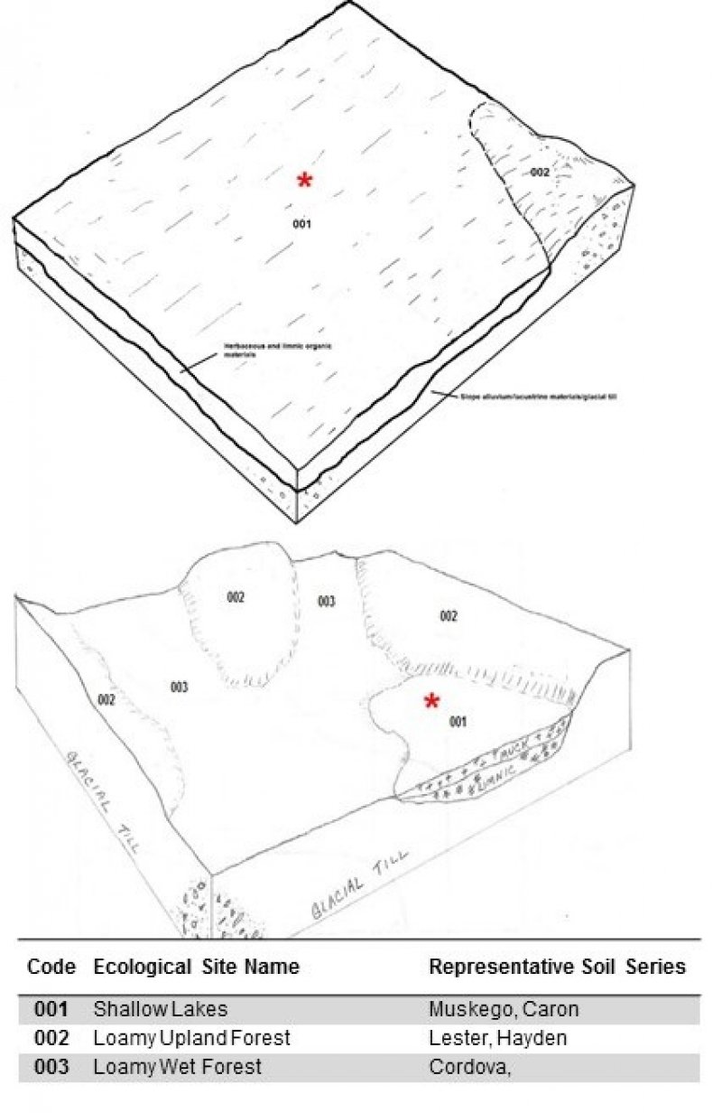
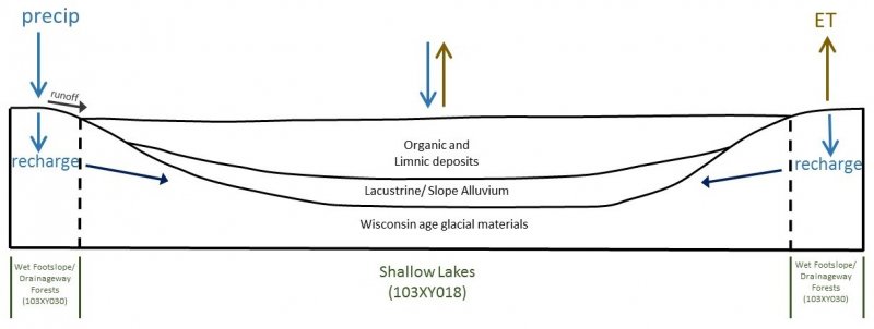
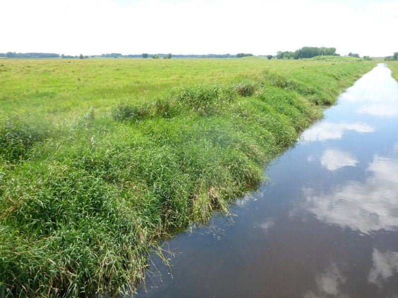
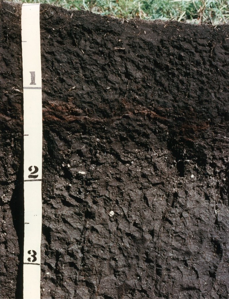
The Shallow Lakes ecological site is extensive (>100,000 acres) and occurs in the eastern and northeastern portion of MLRA 103. The majority of sites are located in the Big Woods ecoregion and the savanna areas surrounding Big Woods. This site is ponded in the natural state. Soils are poorly drained Histosols that are high in organic matter content and developed within shallow lakes.
Associated sites
| F103XY025MN |
Loamy Upland Forests The Loamy Upland Forests ecological site occurs on uplands and on soils which are derived from loamy till and have a thin or moderately thick dark (mollic) surface layer. The drainage class ranges from somewhat poorly drained to well drained. |
|---|---|
| F103XY027MN |
Loamy Wet Forests The Loamy Wet Forests ecological site occurs on loamy textures soils that have a seasonal depth to soil saturation of 0-30 cm. The site is on concave or linear low-slope areas, but no flooding or ponding usually occurs. |
Table 1. Dominant plant species
| Tree |
Not specified |
|---|---|
| Shrub |
Not specified |
| Herbaceous |
(1) Nymphaea odorata |
Click on box and path labels to scroll to the respective text.
Ecosystem states
| T1A | - | Transition to agriculture; tillage; seeding; continued management |
|---|---|---|
| T1B | - | Hydrological alterations; invasive species |
| R3A | - | Restoration of site including hydrology and plant community |
State 1 submodel, plant communities
State 2 submodel, plant communities
| 2.1A | - | Seeding of desired grass species |
|---|---|---|
| 2.2A | - | Row crop production |
