Shallow Savannah

Scenario model
Current ecosystem state
Select a state
Management practices/drivers
Select a transition or restoration pathway
-
Transition T1A
Heavy, continuous, season long grazing with no fire or woody species management.
More details -
No transition or restoration pathway between the selected states has been described
Target ecosystem state
Select a state
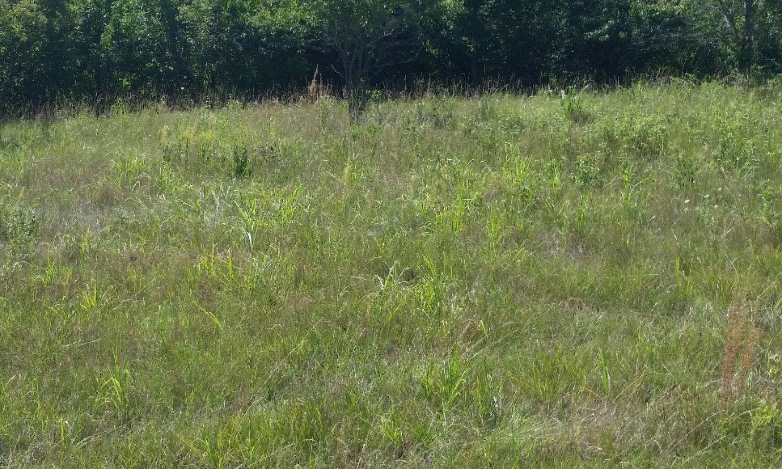
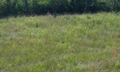
State 1
Reference State
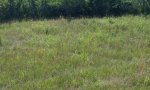

Description
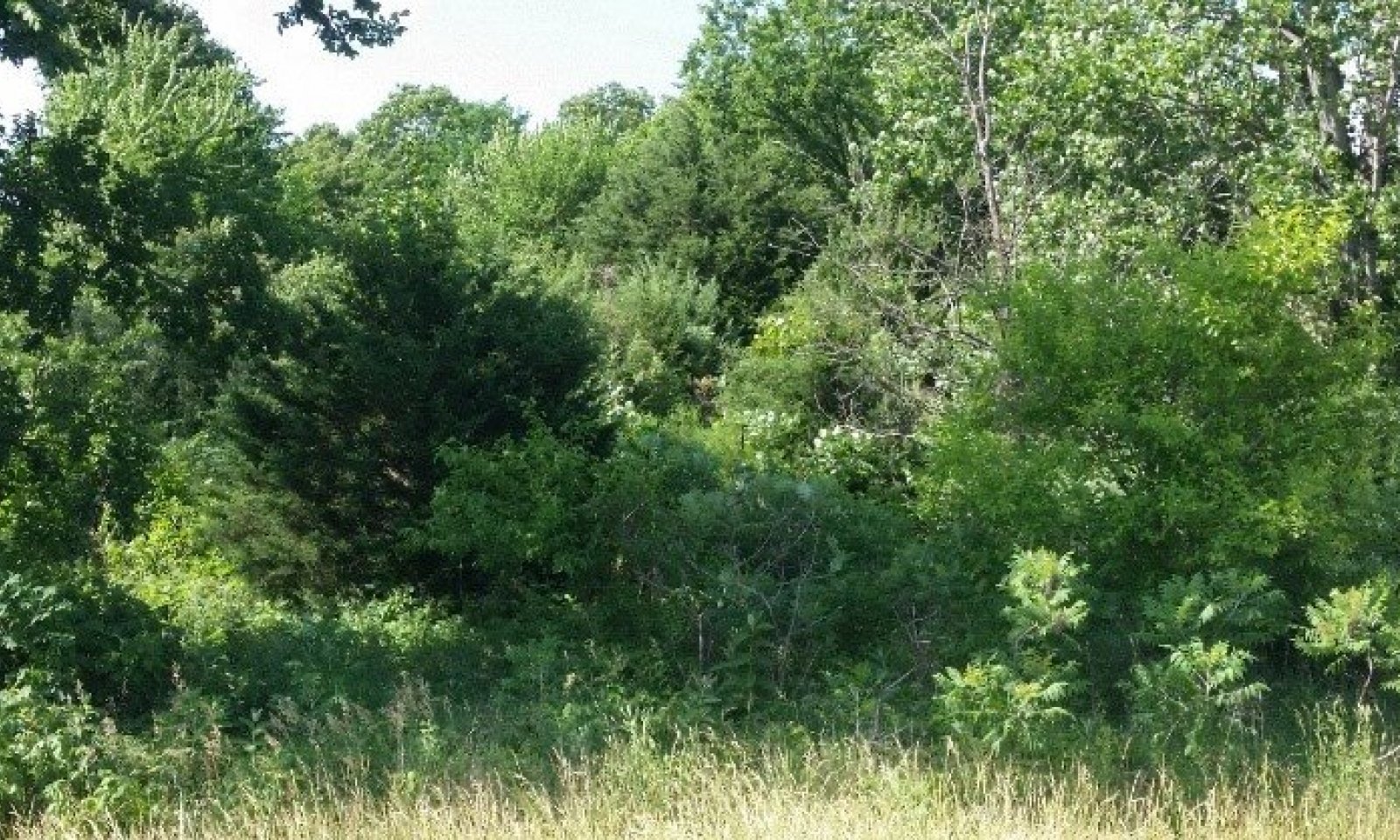
The Reference State (1) describes the range of vegetative community phases that occur on the Shallow Savannah ecological site where the natural processes are mostly intact. The Reference Community (1.1) is a representation of the native plant community phase that occupies a site that has been minimally altered by management. The Degraded Native (1.2), the At-Risk (1.3), and the Excessive Litter (1.4) Communities result from management decisions that are unfavorable for a healthy Reference Community (1.1). High perennial grass cover and production allows for increased soil moisture retention, vegetative production, and overall soil quality.
Submodel
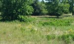
State 2
Native/Invaded State

Description
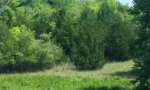
The Native/Invaded State (2) has been degraded from the Reference State (1) and much of the native, warm season grass community has been replaced by less desirable plants. The loss of warm-season, tall and mid grasses has negatively impacted energy flow and nutrient cycling. The woody component has expanded significantly, and shading due to the overstory has increased. Water infiltration is reduced due to the shallow root system and rapid runoff characteristics of the grazing evasive plant communities. Alteration of the soil, and the hydrological processes make return to Reference State (1) unlikely.
The Native/Invaded State (2) includes the Invaded Woody Community (2.1) and the Eastern Red Cedar Community (2.2).
Submodel
Mechanism
Heavy, continuous, season long grazing or haying with inadequate recovery periods will cause the Reference State (1) to lose a significant proportion of warm-season, tall and mid grass species and cross a threshold to the Native/Invaded State (2). Water infiltration and other hydrologic functions will be reduced due to the root matting presence of sod forming grasses. With the decline and loss of deeper penetrating root systems, soil structure and biological integrity are catastrophically degraded to the point that recovery is unlikely.
Additionally, increased woody encroachment will occur from overgrazing, lack of fire and woody species management. The expansion of the overstory blocks more sunlight, creating a competitive environment for shade tolerant understory. Mechanical removal with follow up stump treatment of the root sprouting species and implementation of a prescribed burning regime will limit the encroachment of woody species.
Once this transition occurs, it is highly unlikely that grazing management and woody species management alone will return the community to the Reference State (1).
Model keys
Briefcase
Add ecological sites and Major Land Resource Areas to your briefcase by clicking on the briefcase (![]() ) icon wherever it occurs. Drag and drop items to reorder. Cookies are used to store briefcase items between browsing sessions. Because of this, the number of items that can be added to your briefcase is limited, and briefcase items added on one device and browser cannot be accessed from another device or browser. Users who do not wish to place cookies on their devices should not use the briefcase tool. Briefcase cookies serve no other purpose than described here and are deleted whenever browsing history is cleared.
) icon wherever it occurs. Drag and drop items to reorder. Cookies are used to store briefcase items between browsing sessions. Because of this, the number of items that can be added to your briefcase is limited, and briefcase items added on one device and browser cannot be accessed from another device or browser. Users who do not wish to place cookies on their devices should not use the briefcase tool. Briefcase cookies serve no other purpose than described here and are deleted whenever browsing history is cleared.
Ecological sites
Major Land Resource Areas
The Ecosystem Dynamics Interpretive Tool is an information system framework developed by the USDA-ARS Jornada Experimental Range, USDA Natural Resources Conservation Service, and New Mexico State University.