Moderately Deep Interbedded Limestone-Shale Backslopes
Scenario model
Current ecosystem state
Select a state
Management practices/drivers
Select a transition or restoration pathway
- Transition T1B, T1C More details
- Transition T3A More details
- Restoration pathway R3A More details
- Restoration pathway R4A More details
-
No transition or restoration pathway between the selected states has been described
Target ecosystem state
Select a state
State 1
Moderately Deep Interbedded Limestone-Shale Oak-Hickory Forest




Description
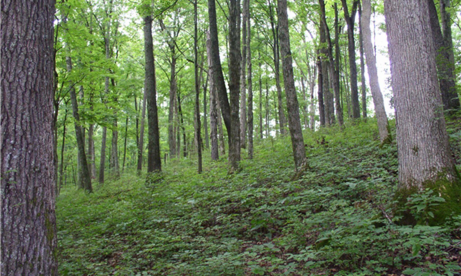
These ecological sites generally occupied the middle to upper sideslopes and lower ridges of hills within the Inner and Outer Bluegrass physiographic regions of Kentucky. The aspect on these sites is variable as soil depth and rock content appeared to have more influence on plant growth and species density than aspect. Slopes on sites visited ranged from 15% to over 45%. Soil depth varied from 21 to 40 inches and parent material of the soils were residuum from interbedded calcareous shale, siltstone, and limestone (Eden soils) or limestone residuum interbedded with thin layers of shale (Faywood soils). Sites frequently had exposed surface rock and rock content in the soil profile.
Tree canopies were generally medium in height and somewhat closed (70 to 90% shade levels) with dominant trees consisting of oak and hickory species in phase 1.1, oak and sugar maple in phase 1.3, and eastern red cedar in phase 1.2. Understory herbaceous layers were generally dense and diverse with minor variations dependent upon soil depth, rock content, soil type, and micro-topography.
Submodel
State 2
Grasslands


Description
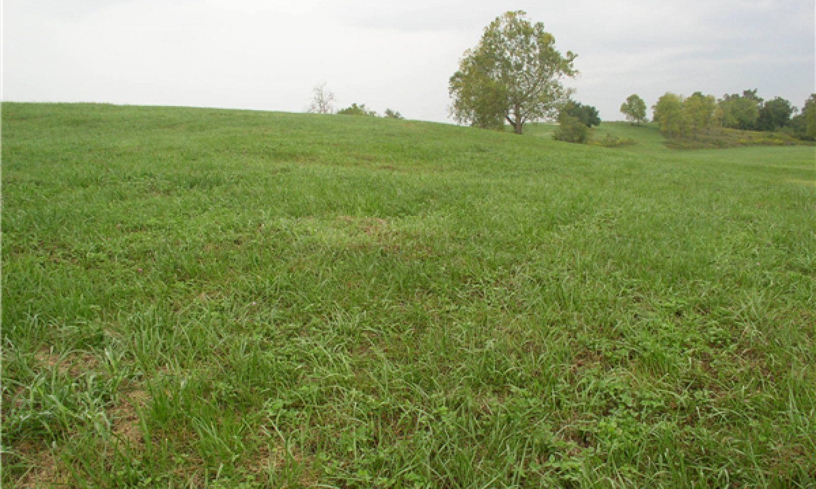
The pasture state for these ecological sites is commonly one of three phases: managed pasture, minimally managed pasture, or a warm-season grass habitat. The managed and minimally managed pasture sites were predominately cool-season, introduced grass species such as tall fescue, orchard grass, brome grass, and Kentucky bluegrass.
Submodel
State 3
Transitional Field


Description
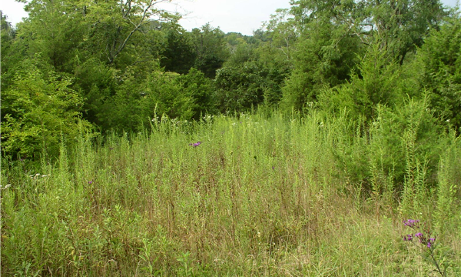
This state is characterized by encroaching eastern red cedar trees into a pastureland environment. This natural transition occurs once pasture management inputs are reduced. Monitored sites were predominately tall fescue pastures that were in the process of naturally reverting to a eastern red cedar grove. The moderately-deep soils on these sites had minimal surface rock and with 5 to 20 percent rock fragments in the subsurface layers. Hardwood seedlings present could include white oak, chinkapin oak, red oak, black oak, shagbark hickory, mockernut hickory, and/or black walnut if an adequate seed sources were available. Seedlings of white ash, red maple, sugar maple, hackberry, black locust, honey locust, American elm, osage orange and slippery elm could also be found on these sites.
Submodel
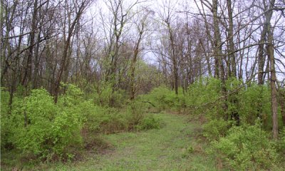
Description
This State is characterized by the dominance of bush honeysuckle, an aggressive non-native shurb. Bush honeysuckle is a common name used for many differenct species including Lonicera maackii, L. tatarica, L. morrowii, L. fragrantissima, etc. Plot monitoring for this project found Amur honeysuckle, Lonicera maackii, was the most common species on these sites. This plan was introduced from Asia in the 1700 and 1800s for ornamental purposes and is now an ecological epidemic in central Kentucky and surrounding states. L. maackii is shade tolerate plant that forms dense thickets in forests, roadsides, and pastures. Colonizing by abundant seed production and root sprouting, this plant will dominate the midstory of forest communities. The dense shade and competition from these plants destroys the native herbaceous layer and halts normal oak-hickory reproduction.
Submodel
Transition T1B, T1C

Mechanism
These transitions represent the ecological impacts of a woodland phase being invaded by bush honeysuckle.
Transition T3A


Mechanism
Transition 3A will occur via natural succession for these ecological sites. The transitional field community will progressively develop into an eastern red cedar woodland (phase 1.2 in the state and transition model).
Mechanism
The transitional field community, with appropriate management inputs, can be moved back to any of the pasture phases. This transition is labeled as a restoration pathway only because the transitional field phase (State 3) originally transitioned from pastureland (State 2).
Relevant conservation practices
| Practice | External resources |
|---|---|
|
Brush Management |
|
|
Forage and Biomass Planting |
|
|
Integrated Pest Management (IPM) |
|
|
Native Plant Community Restoration and Management |
|
|
Invasive Plant Species Control |
|
|
Integrated Pest Management Plan - Written |
|
|
Integrated Pest Management Plan - Applied |
|
|
Fish and Wildlife Habitat Plan - Written |
|
|
Fish and Wildlife Habitat Plan - Applied |
Restoration pathway R4A


Mechanism
Restoration of this State is a multi-year undertaking that requires extensive inputs and continual brush/invasive plant removal and treatment. Several sources indicate bush honeysuckle seeds are dispersed primarily by frugivorous birds and numerous studies have shown that a wide variety of bird species consume and spread Amur honeysuckle fruit. Seeds are viable for many years and seed production is robust. Research has shown that bush honeysuckle plants can produce thousands of seeds annually. Herbicides are necessary to reduce sprouting after brush cutting and such treatment requires a multi-year effort. Most of the sites monitored for this project did not have adequate seed sources to naturally return to a productive oak-hickory forest, so forest planting/seeding would likely be necessary for most sites.
Relevant conservation practices
| Practice | External resources |
|---|---|
|
Brush Management |
|
|
Tree/Shrub Site Preparation |
|
|
Tree/Shrub Establishment |
|
|
Upland Wildlife Habitat Management |
|
|
Forest Stand Improvement |
|
|
Invasive Plant Species Control |
|
|
Forest Management Plan - Written |
|
|
Forest Management Plan - Applied |
|
|
Fish and Wildlife Habitat Plan - Written |
|
|
Fish and Wildlife Habitat Plan - Applied |
|
|
Herbaceous Weed Control |
Model keys
Briefcase
Add ecological sites and Major Land Resource Areas to your briefcase by clicking on the briefcase (![]() ) icon wherever it occurs. Drag and drop items to reorder. Cookies are used to store briefcase items between browsing sessions. Because of this, the number of items that can be added to your briefcase is limited, and briefcase items added on one device and browser cannot be accessed from another device or browser. Users who do not wish to place cookies on their devices should not use the briefcase tool. Briefcase cookies serve no other purpose than described here and are deleted whenever browsing history is cleared.
) icon wherever it occurs. Drag and drop items to reorder. Cookies are used to store briefcase items between browsing sessions. Because of this, the number of items that can be added to your briefcase is limited, and briefcase items added on one device and browser cannot be accessed from another device or browser. Users who do not wish to place cookies on their devices should not use the briefcase tool. Briefcase cookies serve no other purpose than described here and are deleted whenever browsing history is cleared.
Ecological sites
Major Land Resource Areas
The Ecosystem Dynamics Interpretive Tool is an information system framework developed by the USDA-ARS Jornada Experimental Range, USDA Natural Resources Conservation Service, and New Mexico State University.

