
Natural Resources
Conservation Service
Ecological site F129XY002WV
Sandstone Steep
Last updated: 9/10/2019
Accessed: 04/08/2025
General information
Provisional. A provisional ecological site description has undergone quality control and quality assurance review. It contains a working state and transition model and enough information to identify the ecological site.
MLRA notes
Major Land Resource Area (MLRA): 129X–Sand Mountain
Major Land Resource Area (MLRA) 129 is in Alabama (96 percent), Georgia (3 percent), and Tennessee (1 percent). It makes up about 8,030 square miles (20,805 square kilometers). The towns of Jasper, Cullman, and Fort Payne, Alabama, are in this MLRA. Interstate 65 crosses this area from north to south, and Interstates 24 and 59 join in the area just west of Chattanooga, Tennessee, which is just outside the northeast tip of the MLRA. Areas of the Redstone Arsenal Military Reservation are in the northern part of the MLRA. The William B. Bankhead National Forest and the Sipsey National Forest Wilderness are in the western part.
Most of this area is in the Cumberland Plateau Section of the Appalachian Plateaus Province of the Appalachian Highlands. This MLRA is deeply dissected and consists mainly of a series of rather narrow valleys, steep escarpments, and broad plateaus that are underlain by consolidated bedrock. Elevation ranges from 165 to 2,265 feet (50 to 690 meters). Valley floors are commonly about 100 to 400 feet (30 to 120 meters) below the adjacent plateau summits, but local relief may be as much as 1,200 feet (365 meters). The extent of the major Hydrologic Unit Areas (identified by four-digit numbers) that make up this MLRA is as follows: Mobile-Tombigbee (0316), 50 percent; Middle Tennessee-Elk (0603), 25 percent; Alabama (0315), 21 percent; and Middle Tennessee-Hiwassee (0602), 4 percent. The Sipsey Fork, Locust Fork, and Mulberry Fork Rivers, headwaters of the Black Warrior River, are in this area. The Tennessee River forms part of the northern boundary of the area.
Classification relationships
231C-Southern Cumberland Plateau Section
The terrain is gently sloping tablelands of level-bedded sanstone formations and hilly to mountainous terrain consisting of shale and sandstone slopes forming deep canyons with steep connecting escarpment. Forests are largely oak-pine, loblolly-shortleaf pine, or oak-hickory cover types (McNab et al. 2005).
Ecological site concept
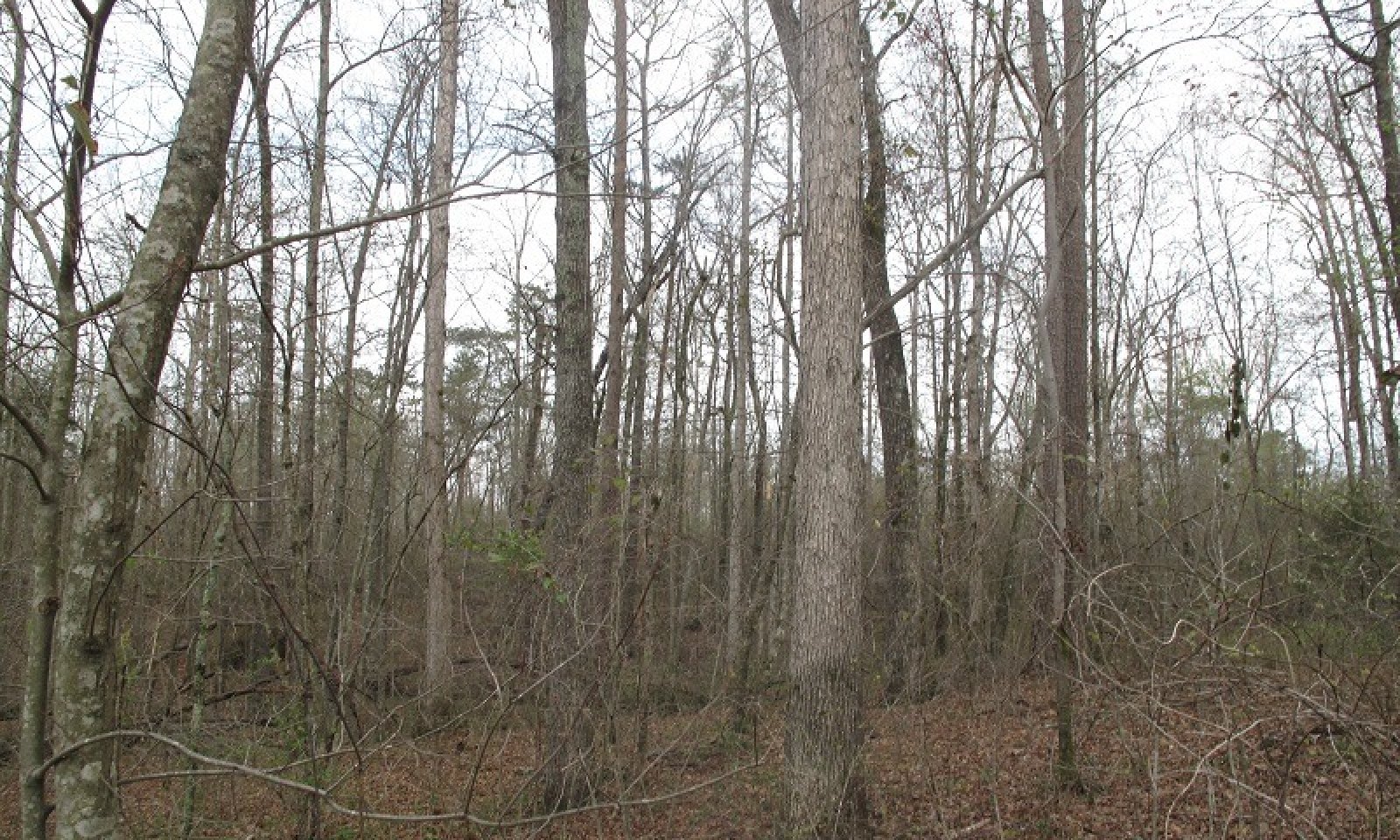
This Provisional Ecological Site (PES) occurs on upland sandstone residuum. Most of this site is forested although some of it has been cleared for pasture or cropland. Forests typically consist of mixed hardwoods dominated by oaks and hickories with some pine, depending on fire proximity and frequency. Soils are acidic, well drained and shallow to moderately deep. Parent material is primarily level bedded sandstone. This site can occur with sandstone rock outcrop in places. This site is of large extent.
Associated sites
| F129XY007WV |
Sandstone Ridge |
|---|
Similar sites
| F125XY001WV |
Sandstone Residuum This PES is very similar to the Sandstone Residuum found in MLRA 125 on the Cumberland Plateau, especially in the southern extent of MLRA 125. |
|---|
Table 1. Dominant plant species
| Tree |
(1) Quercus alba |
|---|---|
| Shrub |
Not specified |
| Herbaceous |
Not specified |
Click on box and path labels to scroll to the respective text.


