
Natural Resources
Conservation Service
Ecological site F129XY005WV
Shale Ridge
Last updated: 9/10/2019
Accessed: 02/11/2026
General information
Provisional. A provisional ecological site description has undergone quality control and quality assurance review. It contains a working state and transition model and enough information to identify the ecological site.
MLRA notes
Major Land Resource Area (MLRA): 129X–Sand Mountain
Major Land Resource Area (MLRA) 129 is in Alabama (96 percent), Georgia (3 percent), and Tennessee (1 percent). It makes up about 8,030 square miles (20,805 square kilometers). The towns of Jasper, Cullman, and Fort Payne, Alabama, are in this MLRA. Interstate 65 crosses this area from north to south, and Interstates 24 and 59 join in the area just west of Chattanooga, Tennessee, which is just outside the northeast tip of the MLRA. Areas of the Redstone Arsenal Military Reservation are in the northern part of the MLRA. The William B. Bankhead National Forest and the Sipsey National Forest Wilderness are in the western part.
Most of this area is in the Cumberland Plateau Section of the Appalachian Plateaus Province of the Appalachian Highlands. This MLRA is deeply dissected and consists mainly of a series of rather narrow valleys, steep escarpments, and broad plateaus that are underlain by consolidated bedrock. Elevation ranges from 230 to 1,740 feet (70 to 530 meters). Valley floors are commonly about 100 to 400 feet (30 to 120 meters) below the adjacent plateau summits, but local relief may be as much as 1,200 feet (365 meters). The extent of the major Hydrologic Unit Areas (identified by four-digit numbers) that make up this MLRA is as follows: Mobile-Tombigbee (0316), 50 percent; Middle Tennessee-Elk (0603), 25 percent; Alabama (0315), 21 percent; and Middle Tennessee-Hiwassee (0602), 4 percent. The Sipsey Fork, Locust Fork, and Mulberry Fork Rivers, headwaters of the Black Warrior River, are in this area. The Tennessee River forms part of the northern boundary of the area.
Classification relationships
The United States Forest Service has determined that this PES falls within the 231-Southeastern Mixed Forest Province Ecological Subregion (McNab et al. 2014). This ecoregion has generally uniform maritime climate with mild winters and hot, humid summers. Annual precipitation is evenly distributed, but a brief period of mid to late summer drought occurs in most years. Landscape is hilly with increasing relief farther inland. Forest vegetation is a mixture of deciduous hardwoods and conifers. Because their classification system does not specifically address Sand Mountain, parts of 231C-Southern Cumberland Plateau Section and/or 231D-Southern Ridge and Valley Section could be included.
Ecological site concept
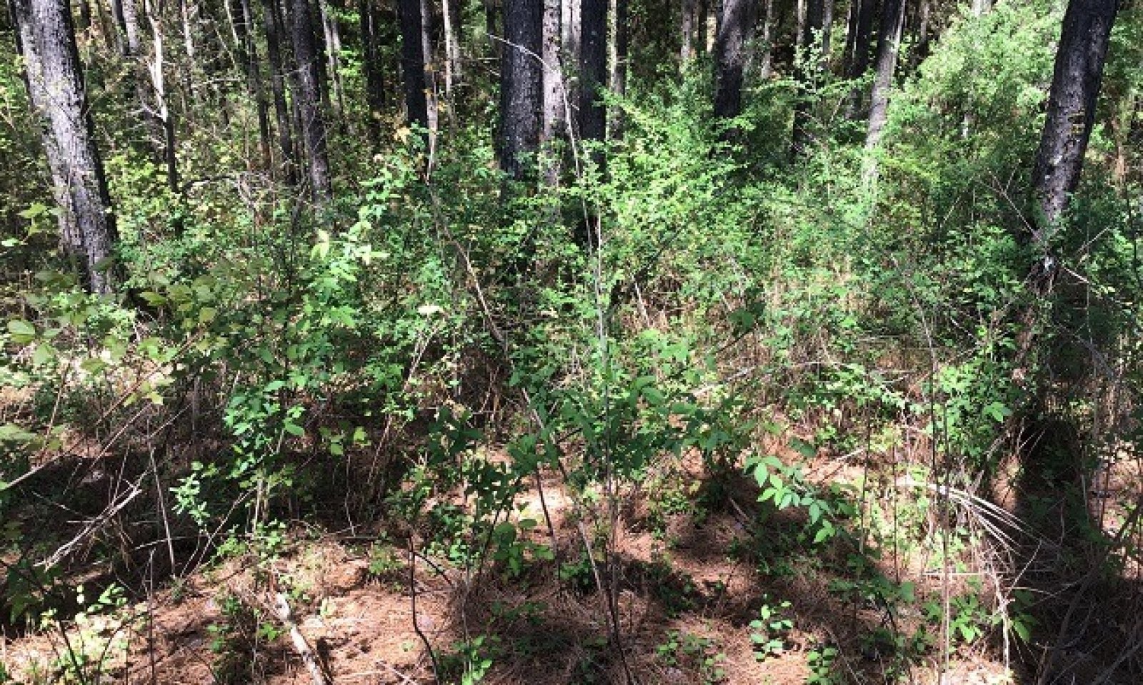
This site occurs on uplands weathered from shale or interbedded shale and sandstone. It is primarily forested but some areas are used for growing pasture, cotton, corn, and small grains. An approximation from the NatureServe* classification system is Southern Appalachian Low-Elevation Pine Forest (CES202.332) although it is possible that more hardwoods dominate. Further investigation in the field is required to determine an appropriate vegetation classification. For initial classification purposes, the referenced NatureServe ecological community will be described here.
* Copyright © 2018 NatureServe, 4600 N. Fairfax Dr., 7th Floor, Arlington Virginia 22203, U.S.A.
Associated sites
| F129XY007WV |
Sandstone Ridge These sites occur over sandstone on ridges. |
|---|
Similar sites
| F129XY006WV |
Steep Shale These sites also occur on shale but are steeper. |
|---|
Table 1. Dominant plant species
| Tree |
(1) Pinus echinata |
|---|---|
| Shrub |
(1) Cornus florida |
| Herbaceous |
Not specified |
Click on box and path labels to scroll to the respective text.
