Natural Resources
Conservation Service
Ecological site F134XY001MO
Deep Loess Upland Woodland
Last updated: 3/20/2025
Accessed: 01/22/2026
General information
Provisional. A provisional ecological site description has undergone quality control and quality assurance review. It contains a working state and transition model and enough information to identify the ecological site.

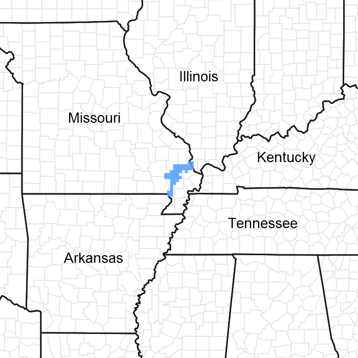
Figure 1. Mapped extent
Areas shown in blue indicate the maximum mapped extent of this ecological site. Other ecological sites likely occur within the highlighted areas. It is also possible for this ecological site to occur outside of highlighted areas if detailed soil survey has not been completed or recently updated.
MLRA notes
Major Land Resource Area (MLRA): 134X–Southern Mississippi Valley Loess
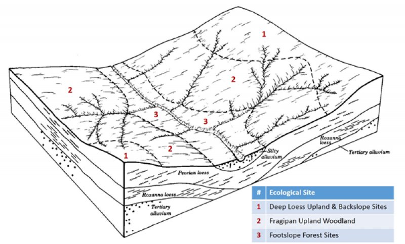
The Southern Mississippi Valley Loess (outlined in red on the map; northern portion only) is a relatively narrow strip of the coastal plain bordering the Mississippi River valley, that is blanketed with loess. The northern part of this MLRA, discussed here, is locally referred to as Crowley’s Ridge. Elevation ranges from about 300 feet on the footslopes to nearly 600 feet on the highest ridges. Loess caps the summits and upper slopes, and Pliocene-aged sand and gravel deposits of the coastal plain influence soils on lower, steeper slopes.
Classification relationships
Terrestrial Natural Community Type in Missouri (Nelson, 2010):
The reference state for this ecological site is most similar to a Dry-Mesic Loess/Glacial Till Woodland.
Missouri Department of Conservation Forest and Woodland Communities (Missouri Department of Conservation, 2006):
The reference state for this ecological site is most similar to a Mixed Oak Loess/Glacial Till Woodland.
National Vegetation Classification System Vegetation Association (NatureServe, 2010):
The reference state for this ecological site is most similar to a Quercus alba - Quercus falcata - Quercus velutina / Ostrya virginiana Forest (CEGL004068).
Geographic relationship to the Missouri Ecological Classification System (Nigh & Schroeder, 2002):
This Ecological Site occurs throughout the Crowley’s Ridge Subsection, and in the Benton Loess Woodland/Forest Hills Land Type Association of the Ozark Outer Border Subsection.
Ecological site concept
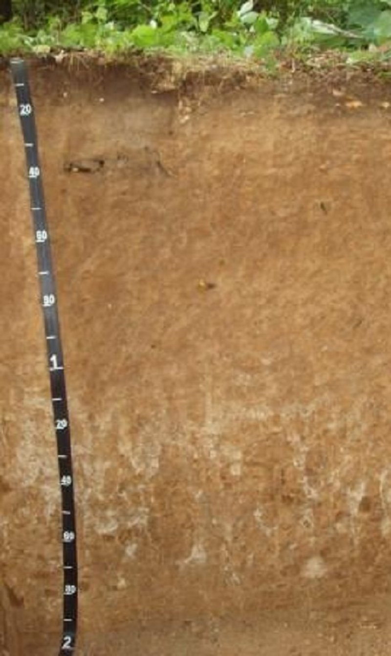
Deep Loess Upland Woodlands are within the green areas on the map (Missouri portion only; distributions farther south are currently under review). These sites are widespread in the uplands, particularly in Scott county, Missouri. Soils are very deep, with no rooting restrictions. The reference plant community is woodland with an overstory dominated by white oak, with minor amounts of black oak and red oak, and a ground flora of native grasses and forbs.
Table 1. Dominant plant species
| Tree |
(1) Quercus alba |
|---|---|
| Shrub |
(1) Rhus aromatica |
| Herbaceous |
(1) Helianthus |
Click on box and path labels to scroll to the respective text.

