Natural Resources
Conservation Service
Ecological site PX137X00X010
Flood Plains And Seepage Swamps
Last updated: 5/13/2025
Accessed: 02/26/2026
General information
Provisional. A provisional ecological site description has undergone quality control and quality assurance review. It contains a working state and transition model and enough information to identify the ecological site.
MLRA notes
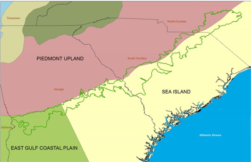
Major Land Resource Area (MLRA): 137X–Carolina and Georgia Sand Hills
MLRA 137 covers approximately 8,665 square miles (22,450 square kilometers) in the states of South Carolina (44 percent), Georgia (34 percent), and North Carolina (21 percent).
The Sand Hills region occurs below the "fall line", which delineates the older crystalline rocks of the Southern Piedmont (MLRA 136) from the younger sediments of the Southern Coastal Plain (MLRA 133A). The term "fall line" came about because the rivers of the Piedmont cut downward through hard bedrock to meet the lower Coastal Plain sediments. The elevational change is evident in the waterfalls and rapids that occur along this transitional line.
This region is composed of mainly of unconsolidated sediments deposited during the Cretaceous period. Overlying these sediments is the late Miocene to early Pliocene Pinehurst Formation. The Pinehurst Formation is of windblown or eolian origin. Soils in this formation are the subject of this ecological site. Deposits of kaolin and high-silica sands are found across the area and are often mined.
Classification relationships
ATTENTION: This ecological site meets the requirements for PROVISIONAL. A provisional ecological site is established after ecological site concepts are developed and an initial state-and-transition model is drafted. A provisional ecological site typically will include literature reviews, land use history information, legacy data, and must include some soils data, ocular estimates for canopy and/or species composition by weight, and some line-point intercept information. A provisional ecological site provides the conceptual framework of soil-site correlation for the development of the ESD. For more information about this ecological site, please contact your local NRCS office.
Ecological site concept
The Flood plains and seepage swamps ecological site is rare in MLRA 137 and focuses on a reference plant community with an Atlantic white cedar-dominated overstory (Chamaecyparis thyoides). Although most Atlantic white cedar communities are associated with streamheads and seepage swamps, riverine communities do exist along some flood plains.
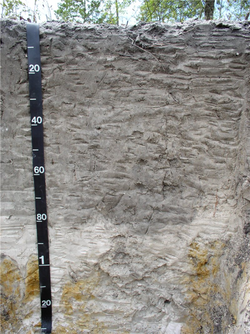
This ecological site is characterized by soils that are wet throughout the year. Typically these have a muck or peat surface over sandy material and are represented by the following components: Bibb, Johnston, Kinston, Osier, Pelham, and Pickney. Correlated map units are rarely or frequently flooded but do not have a ponding frequency.
Vegetation dynamics are poorly understood, but infrequent fires are thought to be necessary for reference community maintenance. Atlantic white cedar is neither shade nor fire tolerant. The species colonizes rapidly and may regenerate from seed residue after fire. Therefore, Atlantic white cedar stands are often even-aged. Prolonged fire exclusion encourages hardwood or bay species establishment
Proposed field investigations are designed to test the association of our initial Flood plains and seepage swamps ES with soil series and specific soil properties.
Table 1. Dominant plant species
| Tree |
(1) Chamaecyparis thyoides |
|---|---|
| Shrub |
Not specified |
| Herbaceous |
Not specified |
Legacy ID
F137XY010SC
Click on box and path labels to scroll to the respective text.

