Natural Resources
Conservation Service
Ecological site F144AY010NH
Sandy High Floodplain
Last updated: 5/20/2025
Accessed: 04/12/2026
General information
Provisional. A provisional ecological site description has undergone quality control and quality assurance review. It contains a working state and transition model and enough information to identify the ecological site.
MLRA notes
Major Land Resource Area (MLRA): 144A–New England and Eastern New York Upland, Southern Part
MLRA 144A: New England and Eastern New York Upland, Southern Part
The eastern half of the eastern part of this MLRA is in the Seaboard Lowland Section of the New England Province of the Appalachian Highlands. The western half of the eastern part and the southeastern half of the western part are in the New England Upland Section of the same province and division. The northwestern half of the western part is in the Hudson Valley Section of the Valley and Ridge Province of the Appalachian Highlands. This MLRA is a very scenic area of rolling to hilly uplands that are broken by many gently sloping to level valleys that terminate in coastal lowlands. Elevation ranges from sea level to 1,000 feet in much of the area, but it is 2,000 feet on some hills. Relief is mostly about 6 to 65 feet in the valleys and about 80 to 330 feet in the uplands.
This area has been glaciated and consists almost entirely of till hills, drumlins, and bedrock-controlled uplands with a mantle of till. It is dissected by narrow glacio-fluvial valleys. The southernmost boundary of the area marks the farthest southward extent of Wisconsinian glaciation on the eastern seaboard. The river valleys and coastal plains are filled with glacial lake sediments, marine sediments, and glacial outwash. The bedrock in the eastern half of the area consists primarily of igneous and metamorphic rocks of early Paleozoic age. Granite is the most common igneous rock, and gneiss, schist, and slate are the most common metamorphic rocks. In the parts of the MLRA in eastern and southeastern New York, Devonian- to Pennsylvanian-age sandstone, shale, and limestone are dominant. Carbonate rocks, primarily dolomite and limestone, are the dominant kinds of bedrock in the part of this MLRA in northwestern Connecticut.
Classification relationships
USDA-NRCS (USDA 2006):
Land Resource Region (LRR): N—East and Central Farming and Forest Region
Major Land Resource Area (MLRA): 144A— New England and Eastern New York Upland, Southern Part.
USDA-FS (Cleland et al. 2007)
Province: 221 - Eastern Broadleaf Province
Section: 221A - Lower New England
Subsection: 221Aa – Boston Basin
221Ac – Narragansett-Bristol Lowland and Islands
221Ad – Southern New England Coastal Lowland
221Ae – Hudson Highlands
221Ag - Southeast New England Coastal Hills and Plains
221Ah - Worcester-Monadnock Plateau
221Ai – Gulf of Maine Coastal Plain
221Ak - Gulf of Maine Coastal Lowland
Section: 221B – Hudson Valley
Subsection: 221Ba – Hudson Limestone Valley
221Bb - Miami – Taconic Foothills
221Bc – Hudson Glacial Lake Plains
Ecological site concept
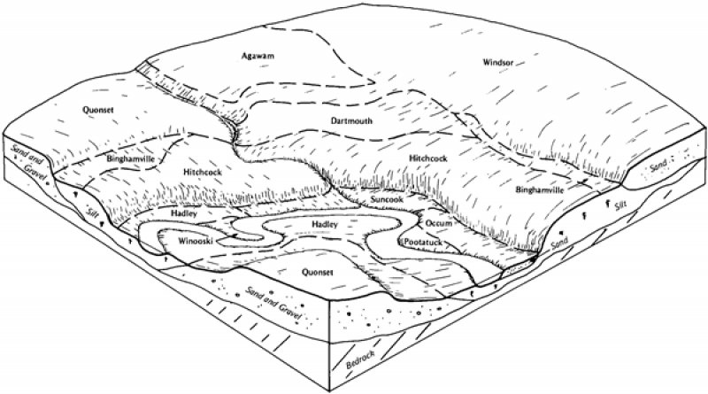
The site consists of deep, coarse-loamy, well drained, alluvial soils on high floodplains of mostly large and medium sized river valleys. The site is flooded less frequently or for a shorter duration than low floodplains. Representative soils are Occum and Wappinger.
The reference community is a sugar maple - white ash (Acer saccharum - Fraxinus americana) forest with associated plants including American elm (Ulmus americana), bitternut hickory (Carys cordiformis), American bladdernut (Staphylea trifolia), ostrich fern (Matteuccia struthiopteris), and sedges such as Sprengel's sedge (Carex sprengelii). Unlike low floodplain forests, silver maple is absent from this community. Limited examples of this forest type exist since they have mostly been converted to agricultural use.
River types such as large, low gradient and small-medium low and high gradient rivers differ in hydrologic regime and fluvial geomorphology and consequently have different community composition (Marks et al. 2011).
Associated sites
| F144AY006CT |
High Floodplain Levee |
|---|---|
| F144AY015NY |
Wet Silty Low Floodplain |
Similar sites
| F144AY027MA |
Moist Sandy Outwash |
|---|
Table 1. Dominant plant species
| Tree |
(1) Acer saccharum |
|---|---|
| Shrub |
Not specified |
| Herbaceous |
(1) Carex sprengelii |
Click on box and path labels to scroll to the respective text.