Boreal Forest Loamy Flood Plains
Scenario model
Current ecosystem state
Select a state
Management practices/drivers
Select a transition or restoration pathway
-
Transition T1A
Beaver activity
More details -
Restoration pathway R2A
Beaver dam removal
More details -
No transition or restoration pathway between the selected states has been described
Target ecosystem state
Select a state
State 1
Reference State


Description
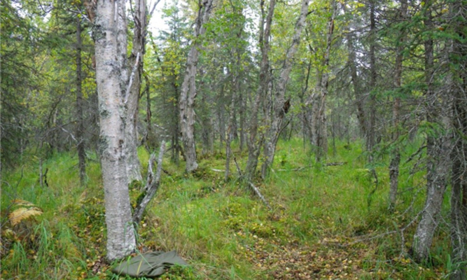
The reference state supports four community phases, which are grouped by the structure and dominance of the vegetation (e.g., coniferous trees, deciduous trees, shrubs, and forbs) and by their ecological function and stability. The presence of these communities is temporally dictated by rare periods of flooding. The reference community phase is a mixed forest and an open understory of bluejoint grass (Calamagrostis canadensis) and diverse forbs and shrubs. An alternative state is caused by the damming of nearby drainageways or streams by beavers (Castor canadensis).
Submodel
State 2
Beaver-affected Areas


Description
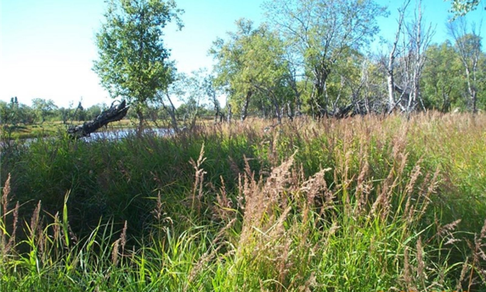
This alternate state is a result of ponding from beaver activity. Beavers (Castor canadensis) directly kill trees and large shrubs to use for food and dam construction and indirectly kill these species and others by raising the water table (USDA–FS, 2013). Ponding generally creates a vegetative community that is different from those normally on these flood plains. This plant community commonly includes resilient individual extant species present in the reference community phase and pioneer hydrophilic species. Permanent ponding associated with areas upstream from beaver dams can negate the influence of flooding on the soils and vegetation. The vegetative community is likely to remain relatively stable until the dam is removed. When the dam is removed by natural events, beaver abandonment, or human intervention, it is thought that the plant community will revert to the reference state. Further research is needed to quantify the outcome of dam removal in situ .
Moderate or severe browsing of willow by moose has been observed on this alternate state community. The browsing may prevent willows from becoming dominant and maintain the community as open woodland rather than transitioning to closed scrubland.
Submodel
Mechanism
This transition is caused by the damming of a water source by beavers. Areas surrounding beaver ponds may support plant assemblages distinct from those typically on these high flood plains. The vegetative community generally is comprised of species that are water tolerant and can reproduce in wet soils. Areas surrounding beaver ponds may be susceptible to flooding or ponding after rainfall and snowmelt. This prevents the vegetative community from supporting non-hydrophilic species, which may keep the composition of the plant community relatively stable. The time required for this transition depends on the presence and activity of beavers.
Mechanism
This restorative pathway to the reference state occurs in areas where a beaver dam is removed. This can be a result of flooding, inactivity by beavers, or anthropogenic activity. Once a dam is removed, the plant community is expected to transition back to the reference state. This depends on factors such as the existing seed bank, propagule recruitment, and return of the natural flooding regime. Further research and in situ documentation is needed to fully describe this pathway.
Model keys
Briefcase
Add ecological sites and Major Land Resource Areas to your briefcase by clicking on the briefcase (![]() ) icon wherever it occurs. Drag and drop items to reorder. Cookies are used to store briefcase items between browsing sessions. Because of this, the number of items that can be added to your briefcase is limited, and briefcase items added on one device and browser cannot be accessed from another device or browser. Users who do not wish to place cookies on their devices should not use the briefcase tool. Briefcase cookies serve no other purpose than described here and are deleted whenever browsing history is cleared.
) icon wherever it occurs. Drag and drop items to reorder. Cookies are used to store briefcase items between browsing sessions. Because of this, the number of items that can be added to your briefcase is limited, and briefcase items added on one device and browser cannot be accessed from another device or browser. Users who do not wish to place cookies on their devices should not use the briefcase tool. Briefcase cookies serve no other purpose than described here and are deleted whenever browsing history is cleared.
Ecological sites
Major Land Resource Areas
The Ecosystem Dynamics Interpretive Tool is an information system framework developed by the USDA-ARS Jornada Experimental Range, USDA Natural Resources Conservation Service, and New Mexico State University.

