Subarctic Graminoid Loamy Tidal Coastal Plains

Circle-spoke model
Scenario model
Current ecosystem state
Select a state
Management practices/drivers
Select a transition or restoration pathway
-
No transition or restoration pathway between the selected states has been described
Target ecosystem state
Select a state
State 1
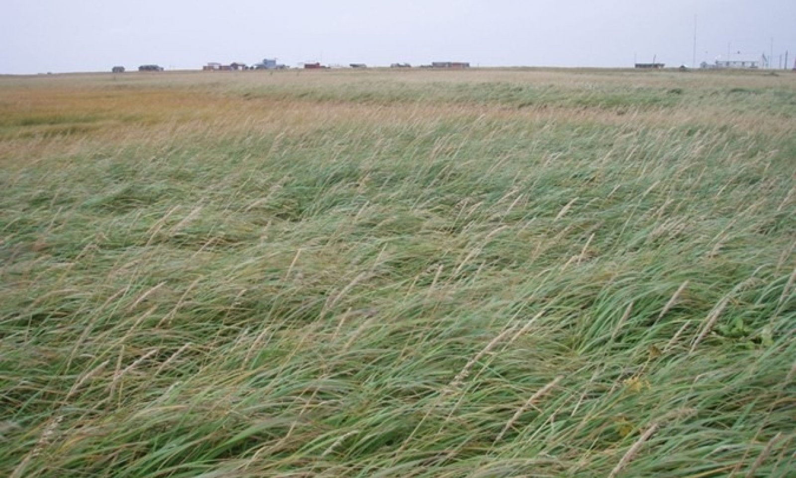
Reference State
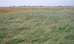
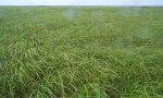
Description
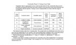
The reference state supports two community phases, which are distinguished by the developed structure and dominance of the vegetation and by their ecological function and stability. The reference community phase is grassland. The presence of each community is dictated temporally by a disturbance regime of frequent flooding.
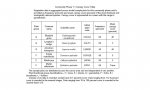
This report provides baseline inventory data for the vegetation in the ecological site. Future data collection is needed to provide further information about existing plant communities and the disturbance regimes that result in transitions from one community to another. Common and scientific names are from the USDA PLANTS database. Community phases are characterized by the Alaska Vegetation Classification System (Viereck et al., 1992).
Submodel
Model keys
Briefcase
Add ecological sites and Major Land Resource Areas to your briefcase by clicking on the briefcase (![]() ) icon wherever it occurs. Drag and drop items to reorder. Cookies are used to store briefcase items between browsing sessions. Because of this, the number of items that can be added to your briefcase is limited, and briefcase items added on one device and browser cannot be accessed from another device or browser. Users who do not wish to place cookies on their devices should not use the briefcase tool. Briefcase cookies serve no other purpose than described here and are deleted whenever browsing history is cleared.
) icon wherever it occurs. Drag and drop items to reorder. Cookies are used to store briefcase items between browsing sessions. Because of this, the number of items that can be added to your briefcase is limited, and briefcase items added on one device and browser cannot be accessed from another device or browser. Users who do not wish to place cookies on their devices should not use the briefcase tool. Briefcase cookies serve no other purpose than described here and are deleted whenever browsing history is cleared.
Ecological sites
Major Land Resource Areas
The Ecosystem Dynamics Interpretive Tool is an information system framework developed by the USDA-ARS Jornada Experimental Range, USDA Natural Resources Conservation Service, and New Mexico State University.