Arctic Tussock Tundra Frozen Plains
Scenario model
Current ecosystem state
Select a state
Management practices/drivers
Select a transition or restoration pathway
-
Transition T1A
Peat Mound Formation
More details -
Restoration pathway R2A
Peat Mound Collapse
More details -
No transition or restoration pathway between the selected states has been described
Target ecosystem state
Select a state

Description
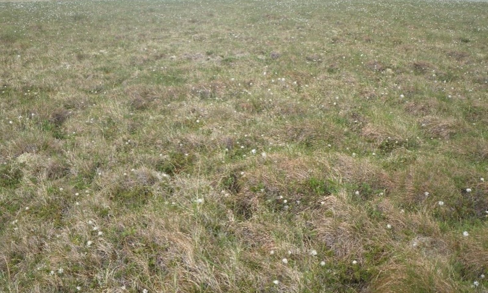
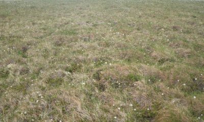
The reference state describes two distinct vegetative communities grouped by the structure and dominance of the vegetation (e.g., shrubs, forbs, and graminoids) and their ecological function and stability. Fire is the major disturbance on this ecological site. Vegetation in the reference plant community (1.1) is shaped by poorly drained, cold soils.
The reference state is developed and characterized using available vegetation models, including Landfire BpS and the Alaska vegetation classification system (Landfire, 2009; Viereck et al., 1992).
Submodel
Description
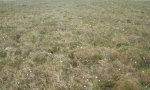
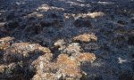
Peat mounds develop from the wet meadows in the reference state. A peat mound is an elliptical dome-like permafrost mound containing alternating layers of ice lenses and peat or mineral soil, which are typically less than 10 feet in height. The edges of these raised features are strongly sloping. Peat mounds can raise significantly above the water table and soil drainage can improve. If these landforms raise high enough above the water table, soil temperature increases, and the ice lens melt.
Submodel
Mechanism
A peat mound raises up from the reference state vegetation. This raised feature is large enough to result in a mosaic of vegetation.
Model keys
Briefcase
Add ecological sites and Major Land Resource Areas to your briefcase by clicking on the briefcase (![]() ) icon wherever it occurs. Drag and drop items to reorder. Cookies are used to store briefcase items between browsing sessions. Because of this, the number of items that can be added to your briefcase is limited, and briefcase items added on one device and browser cannot be accessed from another device or browser. Users who do not wish to place cookies on their devices should not use the briefcase tool. Briefcase cookies serve no other purpose than described here and are deleted whenever browsing history is cleared.
) icon wherever it occurs. Drag and drop items to reorder. Cookies are used to store briefcase items between browsing sessions. Because of this, the number of items that can be added to your briefcase is limited, and briefcase items added on one device and browser cannot be accessed from another device or browser. Users who do not wish to place cookies on their devices should not use the briefcase tool. Briefcase cookies serve no other purpose than described here and are deleted whenever browsing history is cleared.
Ecological sites
Major Land Resource Areas
The Ecosystem Dynamics Interpretive Tool is an information system framework developed by the USDA-ARS Jornada Experimental Range, USDA Natural Resources Conservation Service, and New Mexico State University.