Arctic Sedge Peat Frozen Depressions
Scenario model
Current ecosystem state
Select a state
Management practices/drivers
Select a transition or restoration pathway
-
Transition T1
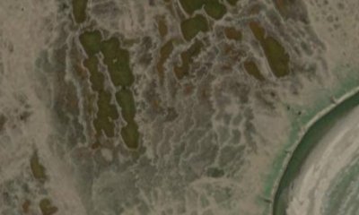
Soil creep results in the formation of string bogs.
More details -
Transition T2
catastrophic lake drainage leads to improved soil drainage
More details -
Transition T3
perched water table increases ponding frequency and duration
More details -
No transition or restoration pathway between the selected states has been described
Target ecosystem state
Select a state
Description
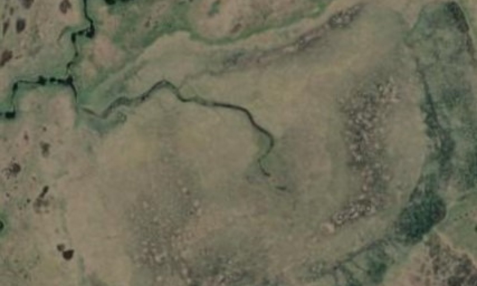
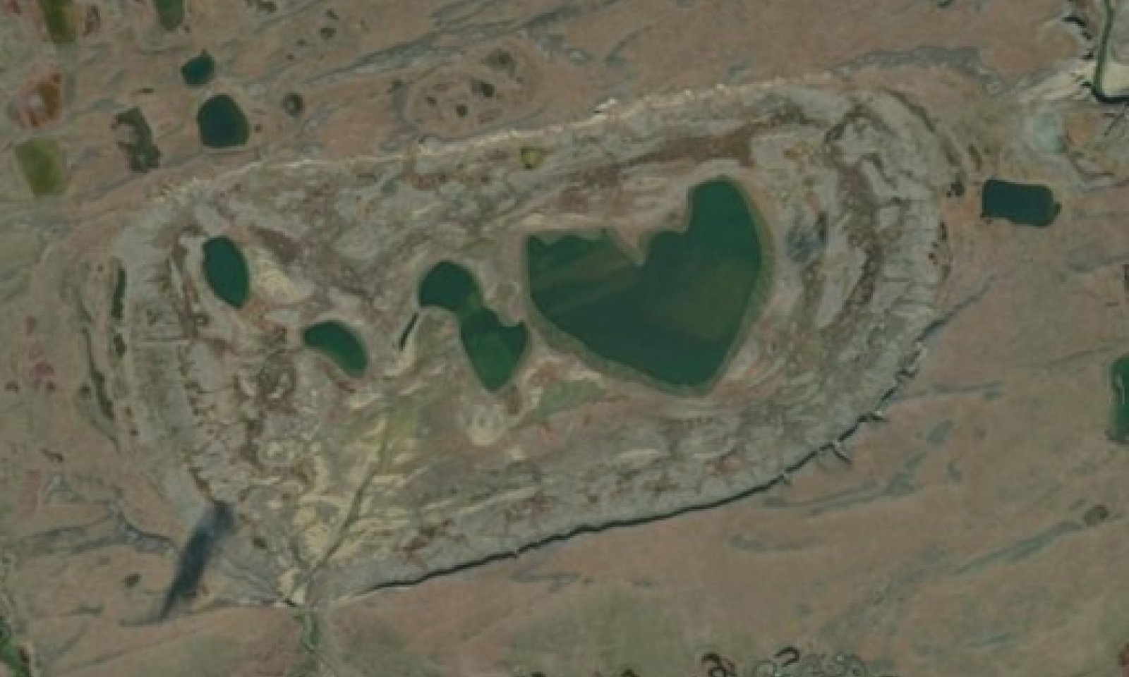
This state covers all fresh water depressions in this MLRA that do not have a mosaic of vegetation related to low- and high-center ice-wedge polygons. Two plant community were identified within the reference state related to ponding depth and duration. Community 1.1 has a soil profile with permafrost, while community 1.2 has a soil profile without permafrost.
Submodel
State 2
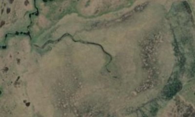
String Bog State

Description
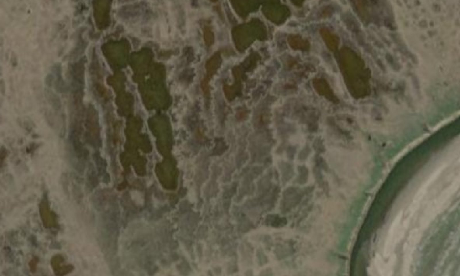
This alternate state covers depressions with string bogs. Two plant communities were identified. Community 2.1 occurs on nearly level surfaces termed flarks, while community 2.2 occurs on the elevated ridge termed strings. In the National Petroleum Reserve, strings were 3 to 6 feet wide, raised up to 3 feet, and 300 or more feet long.
Submodel
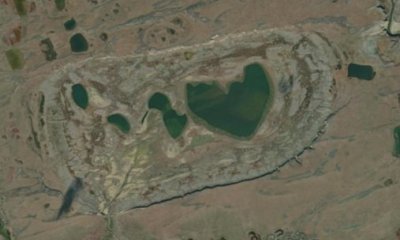
Description
This alternate state covers lakes that are catastrophically drained. Two plant communities were identified within this state related to lakebed microtopography. Community 3.1 occurs on nearly level surfaces while community 3.2 occurs on slight rises. Both communities have very deep soils without restrictions like permafrost. Community 3.1 has a water table at very shallow depth, while community 3.2 has a water table at shallow depth.
Submodel
Mechanism
Soil creep results in the formation of string bogs.
Mechanism
A stream, drainageway, or flood plain approaches the lake basin and thermal erosion of ice and thaw of permafrost create exit pathways for water. The lake is catastrophically drained. Bare soils is exposed, permafrost drops out of the soil profile, and soil drainage improves.
Model keys
Briefcase
Add ecological sites and Major Land Resource Areas to your briefcase by clicking on the briefcase (![]() ) icon wherever it occurs. Drag and drop items to reorder. Cookies are used to store briefcase items between browsing sessions. Because of this, the number of items that can be added to your briefcase is limited, and briefcase items added on one device and browser cannot be accessed from another device or browser. Users who do not wish to place cookies on their devices should not use the briefcase tool. Briefcase cookies serve no other purpose than described here and are deleted whenever browsing history is cleared.
) icon wherever it occurs. Drag and drop items to reorder. Cookies are used to store briefcase items between browsing sessions. Because of this, the number of items that can be added to your briefcase is limited, and briefcase items added on one device and browser cannot be accessed from another device or browser. Users who do not wish to place cookies on their devices should not use the briefcase tool. Briefcase cookies serve no other purpose than described here and are deleted whenever browsing history is cleared.
Ecological sites
Major Land Resource Areas
The Ecosystem Dynamics Interpretive Tool is an information system framework developed by the USDA-ARS Jornada Experimental Range, USDA Natural Resources Conservation Service, and New Mexico State University.