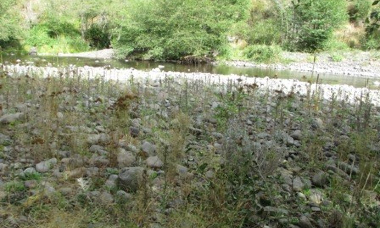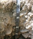
Low Slope Alluvial Mountain Valley Riparian Complex
Scenario model
Current ecosystem state
Select a state
Management practices/drivers
Select a transition or restoration pathway
- Transition T1A More details
- Restoration pathway R2A More details
- Transition T2A More details
-
No transition or restoration pathway between the selected states has been described
Target ecosystem state
Select a state
Description
The historic or unaltered condition for this ecological site is based on current conditions and expected stream development in the associated alluvial valley type and valley slope (<2 percent). High hydrologic function infers good floodplain connectivity, stable stream banks, areas of episaturation, higher water tables than are currently present, and stream habitat complexity. C type channels are expected in pristine conditions, but D type channels are a natural phase for this ecological site. Historically, a larger proportion of the reaches associated with this ecological site may have exhibited C type channel morphologies rather than the D type channel that is more common today. Although reaches with a C or D type channels may transition from one to the other, they may also perpetually exist due to valley constraints or bedrock features that create a semi-stable condition. It is presumed that historic channels were less incised, and had broader and more frequent overbank flow onto floodplains. Beaver dams may have been important structural features historically. Most of this ecological site has been disturbed by floodplain manipulations, grazing, logging, non-native species, and other disturbances, so it is difficult to find data to describe reference state or its phases.
Submodel
Description
This state is defined by unstable, incised, transitional G and F type channels. As channel incision occurs, the water table is lowered across the floodplain and flow is contained within the channel, which reduces over bank flooding onto the floodplain. G type channels are narrow and deep, with reduced sinuosity. The unstable banks of the G type channel erode rapidly into a wider and shallower entrenched F type channel. Stream velocity and confined flow often flush structural elements from the stream, causing a decline in habitat diversity. Riffle-pool sequences may develop into more continuous riffles.
Submodel
State 3
Impaired Hydrologic Function


Description
This state develops as new, lower floodplains develop along the entrenched channel. The new floodplains are at a lower elevation than the original floodplain, and are more confined. The majority of this ecological site currently exists in this state. Hydrologic function has been impaired by channel incision and a disconnect from the floodplains. Stream banks are unstable, stream canopy cover is low, and floodplains are endosaturated. This state may have C or D type channel morphology, because the stream transitions from transport to aggradation reaches. Bedrock control is present in some sections, which may cause localized scouring and create deeper pools.
Submodel
Mechanism
This transition occurs with changes in stream flow or sedimentation rates. The imbalance causes channel adjustments. Down-cutting or head-cutting of the channel bed may occur when a stream becomes confined or straightened due to obstructions in the floodplain, or loss of structural elements in the channel, such as woody debris and beaver dams. Flood events can deposit thick sediments, and normal stream flows may rapidly incise these sediments. A transitional, confined, entrenched, unstable state develops. Stream gradient and velocity increases, and G or F type channel phases develop.
Mechanism
Restoration from State 2 to State 1 would involve intensive stream surveying in order to determine the best restoration approach. Restoration methods may include channel redesign to raise the channel bed, increase meander, or remove floodplain restrictions. These streams have very little large woody debris, and may benefit with the planned placement of large woody debris to improve the diversity of pool habitat. Riparian vegetation may be enhanced by cattle exclusion or herding to reduce duration in riparian corridors. Reintroduction of beavers might increase pool habitat and increase the overbank flows onto the floodplains (Pollock, Beechie et al. 2007). Riparian vegetation may be planted in reaches with suitable water tables for establishment (not on incised, eroded banks). Channel restoration on Meacham Creek has proved to be beneficial (Confederated Tribes of the Umatilla Indian Reservation 2014, Lambert 2014).
Mechanism
This transition occurs with increased channel widening, and greater access to a new, lower floodplain within an entrenched C or D channel type. D type channels are braided and may still be in a period of transition. C type channels develop as sediments build up point bars, and increase meander and pool- riffle formation. Habitat conditions for this state improve with the development of structural elements in the channel, such as pool formations from root wads. The channels in this state do not access the entirety of their former floodplain.
Model keys
Briefcase
Add ecological sites and Major Land Resource Areas to your briefcase by clicking on the briefcase (![]() ) icon wherever it occurs. Drag and drop items to reorder. Cookies are used to store briefcase items between browsing sessions. Because of this, the number of items that can be added to your briefcase is limited, and briefcase items added on one device and browser cannot be accessed from another device or browser. Users who do not wish to place cookies on their devices should not use the briefcase tool. Briefcase cookies serve no other purpose than described here and are deleted whenever browsing history is cleared.
) icon wherever it occurs. Drag and drop items to reorder. Cookies are used to store briefcase items between browsing sessions. Because of this, the number of items that can be added to your briefcase is limited, and briefcase items added on one device and browser cannot be accessed from another device or browser. Users who do not wish to place cookies on their devices should not use the briefcase tool. Briefcase cookies serve no other purpose than described here and are deleted whenever browsing history is cleared.
Ecological sites
Major Land Resource Areas
The Ecosystem Dynamics Interpretive Tool is an information system framework developed by the USDA-ARS Jornada Experimental Range, USDA Natural Resources Conservation Service, and New Mexico State University.
