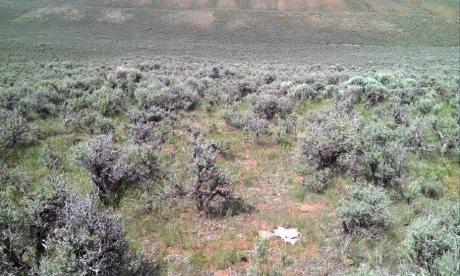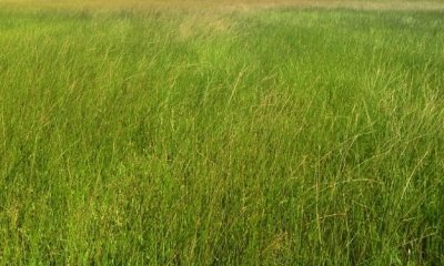
Loamy Bear River Valley 10-14" P.Z.
Circle-spoke model
Scenario model
Current land use
Select a land use
Management practices/drivers
Select a conversion
-
Conversion C1A
Flood irrigation, tillage, and seeding
More details -
Conversion C1B
Irrigation (improved flood or sprinkler), tillage, and seeding
More details -
Conversion C2A
Sprinkler irrigation, tillage, and seeding
More details -
No conversion pathway between the selected land uses has been described
Target land use
Select a land use
Description
Rangeland is the dominant land use for the Loamy BRV ecological site and provides the most diverse ecosystem services. Rangeland is land on which the historic and introduced vegetation is predominantly grasses, grass-like plants, forbs or shrubs managed as a natural
ecosystem. Range may include natural grasslands, savannas, shrublands,
tundra, alpine communities, marshes and meadows.
Characteristics and indicators
This land use consists of diverse native plant communities dominated by big sagebrush and perennial cool season grasses that provide for site stability, hydrologic function, and biotic integrity of the site.
Submodel
Description
This is a moderately deep to deep site with very few limitations for agriculture production, and therefore is often converted to irrigated pasture due to high water holding capacity, low slopes, and landscape position that lends itself to tillage and irrigation practices. The site is also converted to dryland pasture to a lesser extent.
Pastureland is land composed of introduced or domesticated native forage species that is used primarily for the production of livestock. Pastures receive periodic renovation and cultural treatments, such as tillage, fertilization, mowing, weed control, and may be irrigated. Pastures are not in rotation with crops.
Characteristics and indicators
Pasture on this site can be either dryland or irrigated.
Irrigated pasture is the most common scenario and can be very diverse with a mixture of native and non-native forage species or as a monoculture of a highly competitive forage grass such as creeping meadow foxtail. Hay production with aftermath grazing is common, but pastures on this site can also be managed for grazing throughout the growing season with some dormant season grazing as well.
Dryland pasture on this site is often dominated by a monoculture crested wheatgrass and used as special use pasture for spring grazing. It is common for sagebrush to re-colonize the site over time without periodic renovation or cultural practices such as mowing or tillage.
Submodel
Description
This is a moderately deep to deep site with very few limitations for agriculture production, and therefore is often converted to irrigated crop due to high water holding capacity, low slopes, and landscape position that lends itself to tillage and irrigation practices.
Cropland is land used primarily for the production and harvest of annual or perennial field, forage, food, fiber, horticultural, orchard, vineyard, or energy crops.
Characteristics and indicators
Crops on this site are typically irrigated.
Irrigated crops are typically perennial and consist of a mixture of legume (alfalfa or clover) and a variety of cool-season perennial forage grasses in rotation with short-season annual cereal grains such as barley. The annual portion of the crop rotation is often grown as a forage (not cash) crop.
Submodel
Mechanism
Most range conversion to pasture occurred at the end of the 19th century and was done using horse-pulled implements and hand tools. Flood irrigation infrastructure was installed and introduced species seeded such as Kentucky bluegrass and clover. Wild flood irrigation is the most common with little control and sometimes water is checked at the bottom of fields to backup water and promote extended flooded condtions that result in more hydrophytic vegetation and hydric soil development.
Mechanism
Most range conversion to crop occurred at the end of the 19th century and was done using horse-pulled implements and hand tools. Flood irrigation infrastructure such as graded borders were installed and introduced species seeded such as smooth brome and alfalfa in rotation with annual cereal grains such as oats and barley. The water source is surface water from the Bear River.
In recent times there have been some range conversion to crop using sprinkler irrigation to improve water efficiency and control plus reduce labor. Higher value forage grasses such as meadow brome and non-bloat legumes such as sainfoin and cicer milkvetch have also been introduced into the crop rotation.
Model keys
Briefcase
Add ecological sites and Major Land Resource Areas to your briefcase by clicking on the briefcase (![]() ) icon wherever it occurs. Drag and drop items to reorder. Cookies are used to store briefcase items between browsing sessions. Because of this, the number of items that can be added to your briefcase is limited, and briefcase items added on one device and browser cannot be accessed from another device or browser. Users who do not wish to place cookies on their devices should not use the briefcase tool. Briefcase cookies serve no other purpose than described here and are deleted whenever browsing history is cleared.
) icon wherever it occurs. Drag and drop items to reorder. Cookies are used to store briefcase items between browsing sessions. Because of this, the number of items that can be added to your briefcase is limited, and briefcase items added on one device and browser cannot be accessed from another device or browser. Users who do not wish to place cookies on their devices should not use the briefcase tool. Briefcase cookies serve no other purpose than described here and are deleted whenever browsing history is cleared.
Ecological sites
Major Land Resource Areas
The Ecosystem Dynamics Interpretive Tool is an information system framework developed by the USDA-ARS Jornada Experimental Range, USDA Natural Resources Conservation Service, and New Mexico State University.


