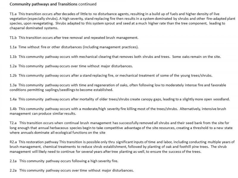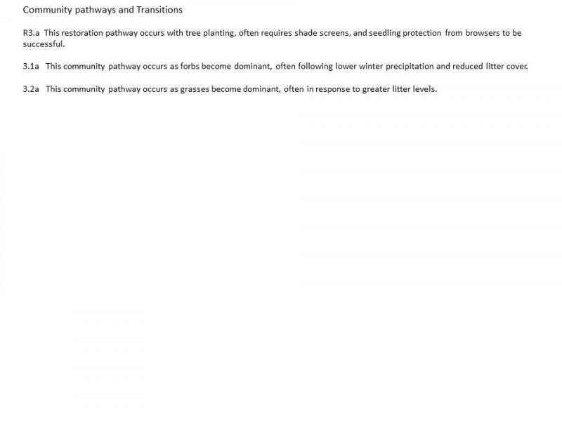

Natural Resources
Conservation Service
Ecological site F018XA201CA
Deep Thermic Hillslopes
Last updated: 4/24/2024
Accessed: 11/21/2024
General information
Provisional. A provisional ecological site description has undergone quality control and quality assurance review. It contains a working state and transition model and enough information to identify the ecological site.
MLRA notes
Major Land Resource Area (MLRA): 018X–Sierra Nevada Foothills
Major Land Resource Area (MLRA) 18, Sierra Nevada Foothills is located entirely in California and runs north to south adjacent to and down-slope of the west side of the Sierra Nevada Mountains (MLRA 22A). MLRA 18 includes rolling to steep dissected hills and low mountains, with several very steep river valleys. Climate is distinctively Mediterranean (xeric soil moisture regime) with hot, dry summers, and relatively cool, wet winters. Most of the precipitation comes as rain; average annual precipitation ranges from 15 to 55 inches in most of the area (precipitation generally increases with elevation and from south to north). Soil temperature regime is thermic; mean annual air temperature generally ranges between 52 and 64 degrees F. Geology is rather complex in this region; there were several volcanic flow and ashfall events, as well as tectonic uplift, during the past 25 million years that contributed to the current landscape.
LRU notes
The Tuscan Flows LRU is the northernmost Land Resource Unit in MLRA 18. It occurs down slope of and is geologically related to the southern Cascades; however, its inclusion in MLRA 18 stems from the ecosystem’s close resemblance to other Sierra Nevada Foothill systems. This LRU is situated on a low elevation volcanic plateau at the northeast end of the Sacramento Valley. The geology includes, but is not limited to late Pliocene and Quartenary basalt, andesite and andesitic lahars (mudflows). Several cinder cones dot the landscape and active fluvial processes are occurring in the larger canyons. Elevation ranges between 250 and 2000 feet above sea level on the main plateau, but can range as high as 3000 feet on the highest hills. Precipitation is among the highest in MLRA 18, ranging from 30 to 55 inches annually. Mean annual air temperature ranges between 56 and 62 F. Frost free days (generally exhibiting an inverse relationship with elevation) range from 184 to 282 days.
Classification relationships
CLASSIFICATION RELATIONSHIPS
This site is located within M261F, the Sierra Nevada Foothills Section, (McNab et al., 2007) of the National Hierarchical Framework of Ecological Units (Cleland et al., 1997), M261Fa, the Tuscan Flows Subsection.
Level III and Level IV ecoregions systems (Omernik, 1987, and EPA, 2011) are: Level III, Central California Foothills and Coastal Mountains and Level IV, Ecoregion 6a, Tuscan Flows.
Ecological site concept
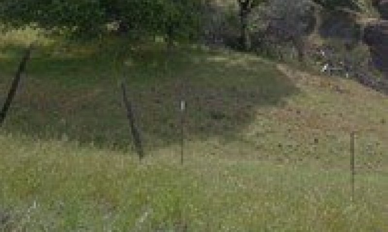
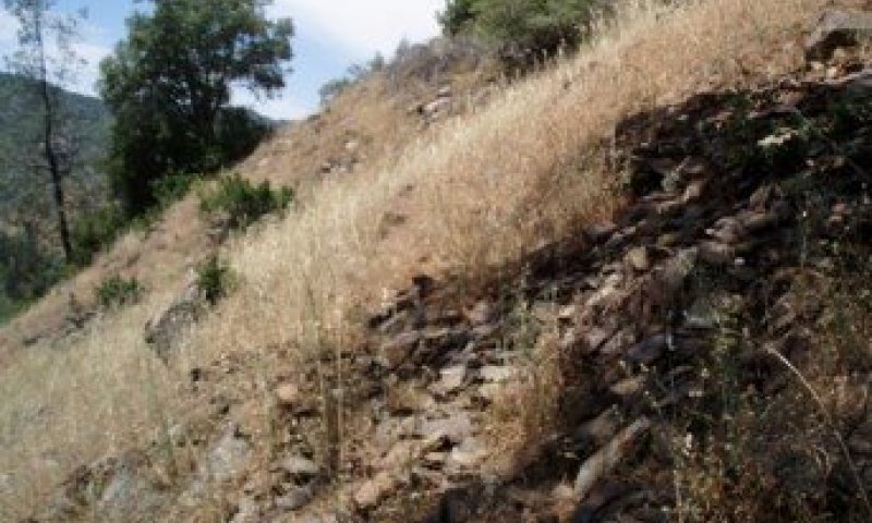
The Deep Thermic Hillslopes Ecological Site occurs on moderately deep to very deep soils formed in colluvium from basalt and volcanic mudflow breccias. These sites generally occur in concave positions on lower sideslopes and canyon walls. The precipitation range for this site is generally between 29 to 53 inches per year. The soil temperature regime is thermic. Elevation ranges from 400 feet to 1840 feet. Slope gradient ranges from 5 to 60%.
The landscape position on lower slopes results in deep, colluvial soils, commonly with skeletal textures. Deep soils and concave water-gathering positions support open woodlands which provide habitat important for wildlife species needing cover for nesting, forage, and protection. Common soil series correlated to this ecological site include Chinacamp (loamy-skeletal, mixed, superactive, thermic Haplic Palexeralfs), and Coalcanyon (loamy-skeletal, parasesquic, thermic Pachic Ultic Argixerolls). Chinacamp soils are very deep and formed in colluvium from volcanic mudflow breccia. Coalcanyon soils are very deep and formed in colluvium from basalt.
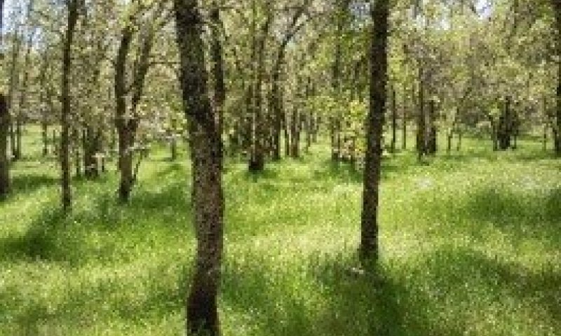
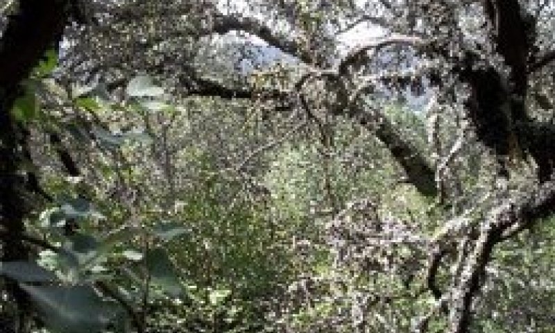
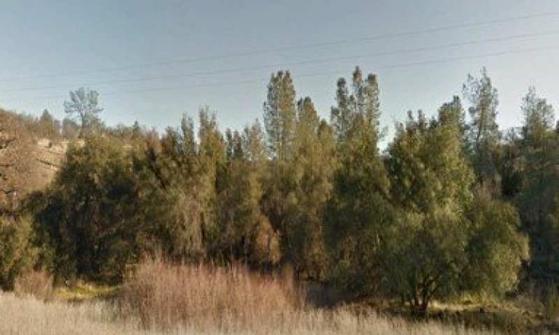
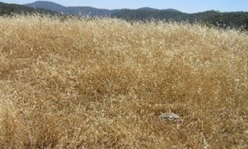
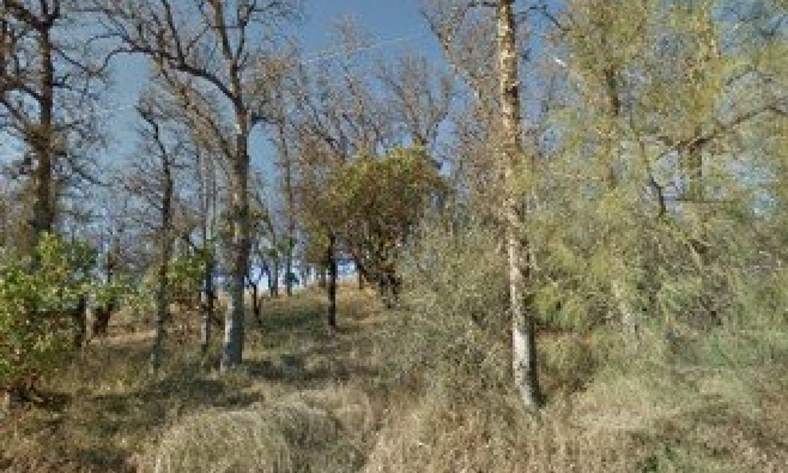
Vegetation includes open oak woodland (Quercus douglasii) with scattered foothill pines (Pinus sabiniana), occasional ponderosa pine (Pinus ponderosa) and dense to scattered whiteleaf manzanita (Arctostaphylos viscida). Poison oak (Toxicodendron diversilobum) is often dense. Forbs and annual grasses generally exceed 50% canopy cover.
Associated sites
| R018XA103CA |
Shallow Thermic Volcanic Ridges This site commonly occurs nearby. |
|---|
Similar sites
| F018XA202CA |
Deep Mesic Mountain Slopes & Summits Site relationships being developed. |
|---|
Table 1. Dominant plant species
| Tree |
(1) Quercus douglasii |
|---|---|
| Shrub |
(1) Arctostaphylos viscida |
| Herbaceous |
Not specified |
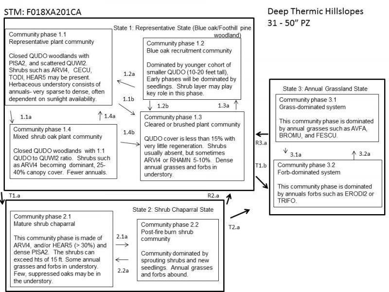
Click on box and path labels to scroll to the respective text.
