
Natural Resources
Conservation Service
Ecological site R018XI105CA
Mesic Steep Convex Slopes bordering thermic
Last updated: 4/24/2024
Accessed: 04/15/2025
General information
Provisional. A provisional ecological site description has undergone quality control and quality assurance review. It contains a working state and transition model and enough information to identify the ecological site.
MLRA notes
Major Land Resource Area (MLRA): 018X–Sierra Nevada Foothills
Major Land Resource Area (MLRA) 18, Sierra Nevada Foothills is located entirely in California and runs north to south adjacent to and down-slope and to the east of the Sierra Nevada Mountains (MLRA 22A). MLRA 18 includes rolling to steep dissected hills and low mountains, with several very steep river valleys. Climate is distinctively Mediterranean (xeric soil moisture regime) with hot, dry summers, and relatively cool, wet winters. Most of the precipitation comes as rain; average annual precipitation ranges from 15 to 55 inches in most of the area (precipitation generally increases with elevation and from south to north). Soil temperature regime is thermic; mean annual air temperature generally ranges between 52 and 64 degrees F. Geology is rather complex in this region; there were several volcanic flow and ashfall events, as well as tectonic uplift, during the past 25 million years that contributed to the current landscape.
LRU notes
This LRU (designated XI) is located on moderate to steep hills in the Sierra Nevada Foothills east of Sacramento, Stockton, and Modesto, CA. Various geologies occur in this region: metavolcanics, granodiorite, slate, marble, argillite, schist and quartzite, as well as ultramafic bands to a limited and localized extent. It includes mesa formations from volcanic flows, where vernal pool habitats occur. Soil temperature regime is thermic and soil moisture regime is xeric. Elevation ranges between 300 and 3400 feet above sea level. Precipitation ranges from 14 to 42 inches annually. Most precipitation falls between the months of November and March in the form of rain. Dominant vegetation includes annual grasslands, blue oak (Quercus douglasii), interior live oak (Quercus wislizeni), chamise (Adenostoma fasciculatum), buckbrush (Ceanothus cuneatus), and foothill pine (Pinus sabiniana).
Classification relationships
CLASSIFICATION RELATIONSHIPS
This site is located within M261F, the Sierra Nevada Foothills Section, (McNab et al., 2007) of the National Hierarchical Framework of Ecological Units (Cleland et al., 1997), M261Fb, the Lower Foothills Metamorphic Belt Subsection.
Level III and Level IV ecoregions systems (Omernik, 1987, and EPA, 2011) are: Level III, Central California Foothills and Coastal Mountains and Level IV, Ecoregion 6b, Northern Sierran Foothills, Ecoregion 6c, Comanche Terraces.
Ecological site concept
This site is found on moderately deep to deep soils on moderately steep to very steep hills and mountains (15 to 70% slope). This site commonly occurs on convex positions that tend to shed water from the surface and is highly aspect dependent. This site occurs on the margin of mesic soil temperature regimes, often in the same areas where F022AI201CA occurs; therefore, it can be found in both MLRA 18 and 22A map units. Mean annual precipitation typically ranges from 34 to 40 inches.
Relatively rocky soils on steep, south to west facing aspects on water shedding landscape positions support shrubland communities that are well adapted to relatively low available water capacities. Common soil components in this ecological site include Hurleton and Arpatutu components which are both moderately deep, loamy-skeletal, ultic haploxeralfs. Hurleton components are derived from variably metamorphosed coarse-grained intrusive igneous rocks, while Arpatutu is derived from phyllite, schist, and other metasedimentary rocks. Sierra, a deep to very deep soil also supports this ecological site. It is a fine loamy, mixed active thermic Ultic Haploxeralf occurring on ridge tops and side slopes on igneous parent materials (Sierran plutons).
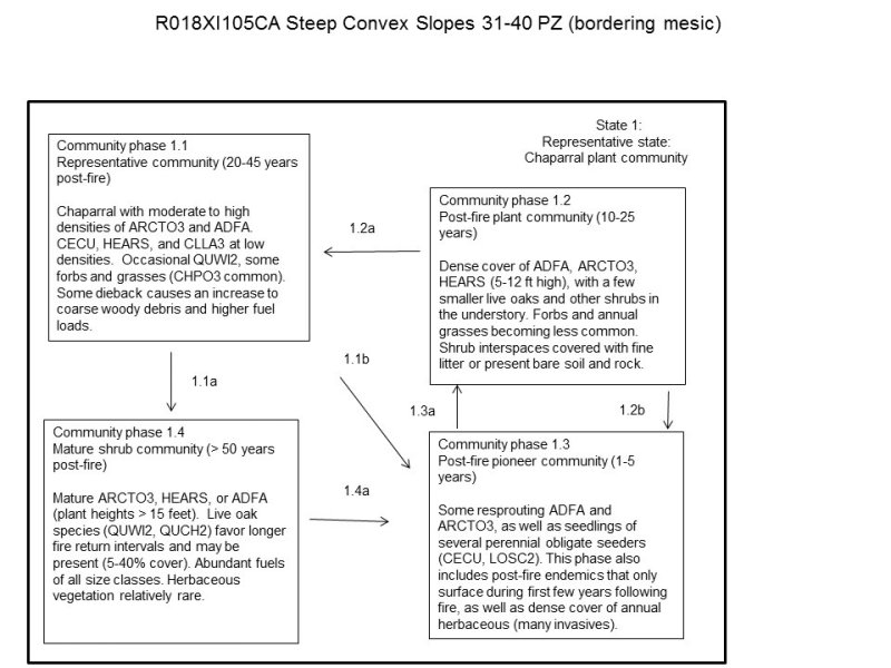
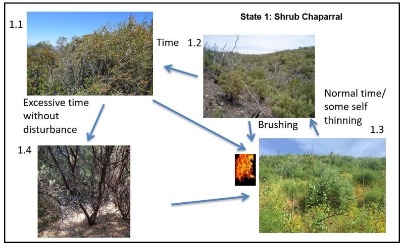
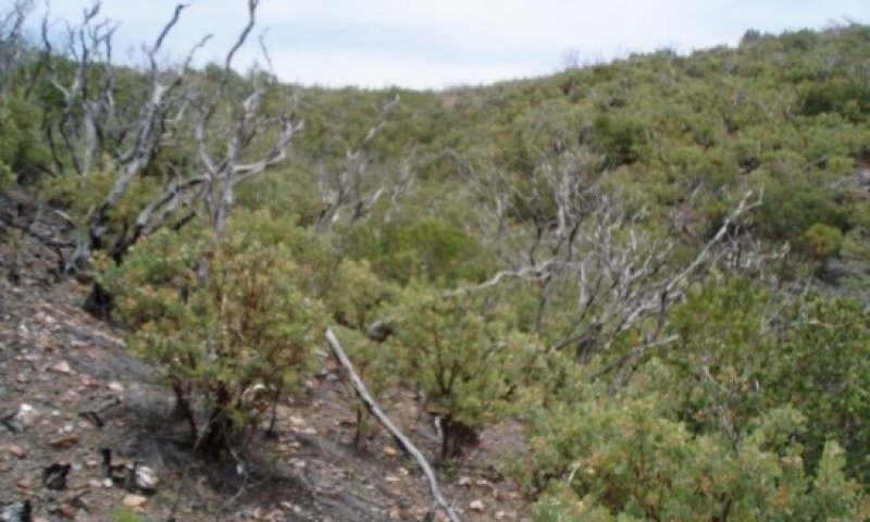
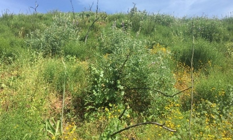
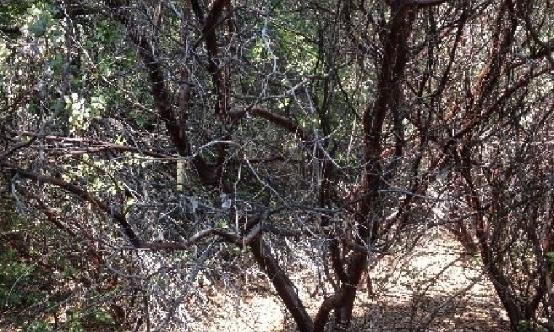
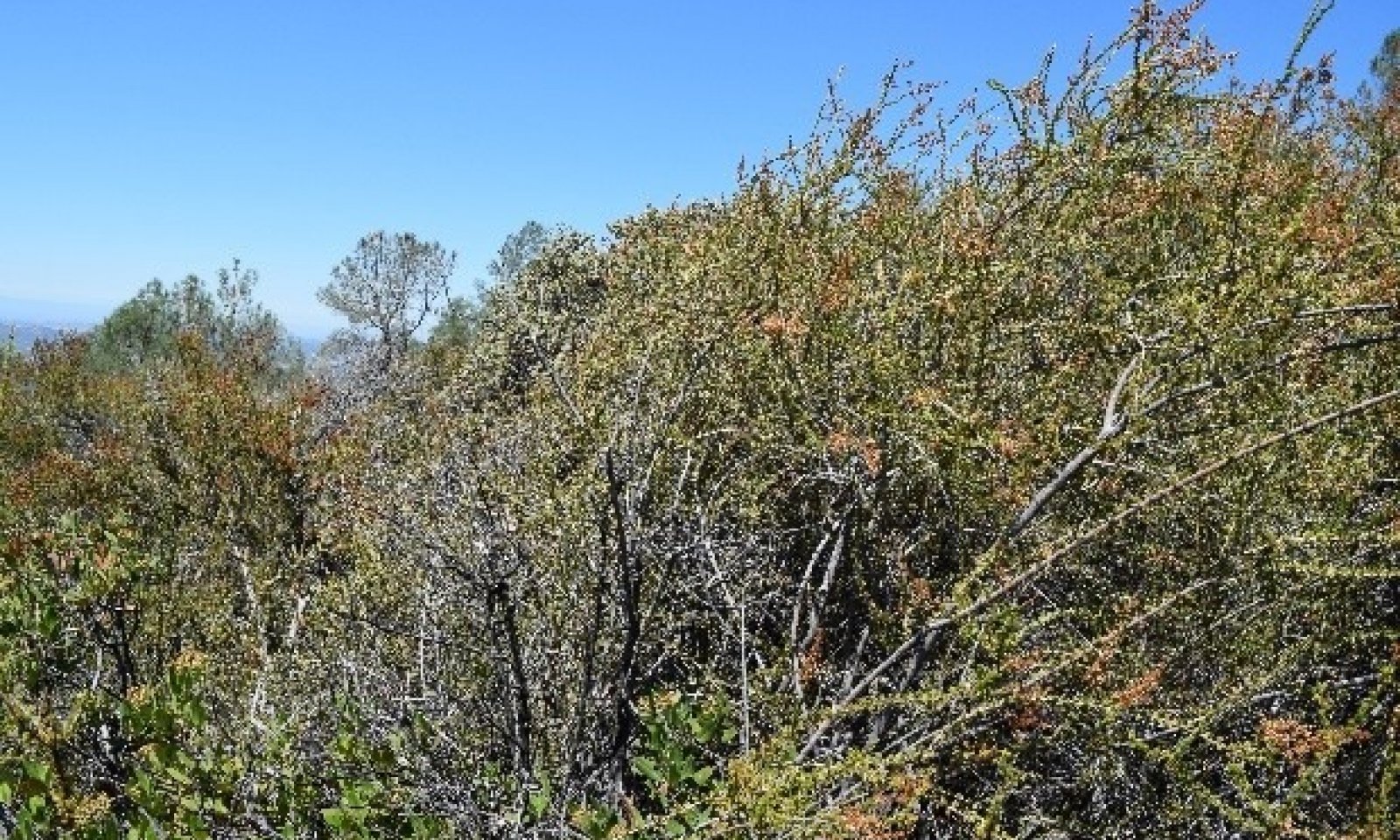
The vegetation in this ecological site consists of dense chamise (Adenostoma fasciculatum) chaparral, and at the higher elevations of the sites’ range, chamise is replaced by manzanita (Arctostaphylos spp.). Shrubs make up approximately 85% of the annual production. Some subshrubs and few forbs occur underneath the shrub canopy and the most diverse assemblage of herbaceous plants can be found in openings between shrubs, but comprise no more than 35% of the annual production.
Associated sites
| F022AI201CA |
Dry Mesic Foothills 33-45 PZ This site commonly occurs nearby. |
|---|
Similar sites
| R018XI106CA |
Steep Thermic Hillslopes and Canyon Walls Site relationships being developed. |
|---|
Table 1. Dominant plant species
| Tree |
(1) Quercus wislizeni |
|---|---|
| Shrub |
(1) Adenostoma fasciculatum |
| Herbaceous |
Not specified |
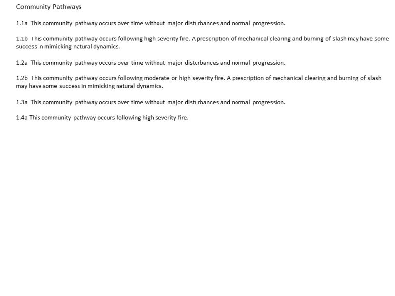
Click on box and path labels to scroll to the respective text.
