
Natural Resources
Conservation Service
Ecological site R022BI214CA
Pyroclastic Flow
Accessed: 02/07/2026
General information
Provisional. A provisional ecological site description has undergone quality control and quality assurance review. It contains a working state and transition model and enough information to identify the ecological site.

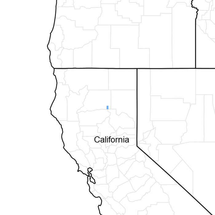
Figure 1. Mapped extent
Areas shown in blue indicate the maximum mapped extent of this ecological site. Other ecological sites likely occur within the highlighted areas. It is also possible for this ecological site to occur outside of highlighted areas if detailed soil survey has not been completed or recently updated.
MLRA notes
Major Land Resource Area (MLRA): 022B–Southern Cascade Mountains
Site Concept –
Slopes: 5 to 60 percent.
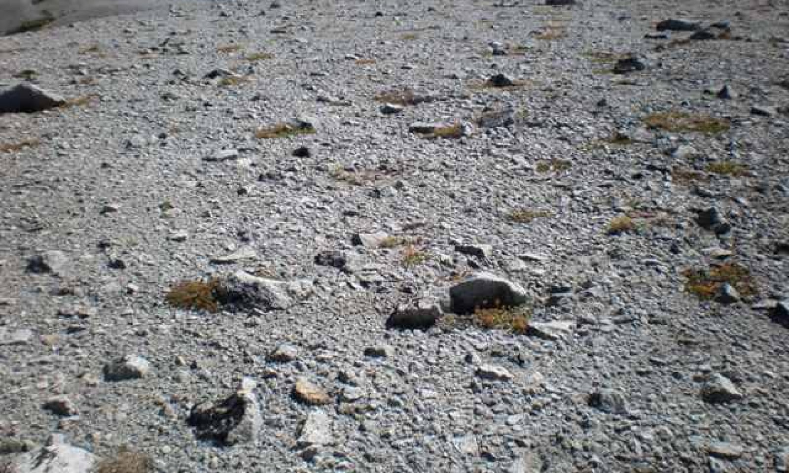
Landform: Pyroclastic flow in hanging valleys.
Soils: Very deep and excessively drained, soils formed in pyroclastic flows and fall deposits from the Chaos Crags. High percentage of subsurface gravels.
Temp regime: Cryic.
MAAT: 40 degrees F (4.4 degrees C).
MAP: 71 to 119 inches (1,803 to 3,023 mm).
Soil texture: Very gravelly ashy loamy coarse sand.
Surface fragments: 70 to 80 percent subangular fine and medium gravel and 0 to 18 percent cobbles and stones.
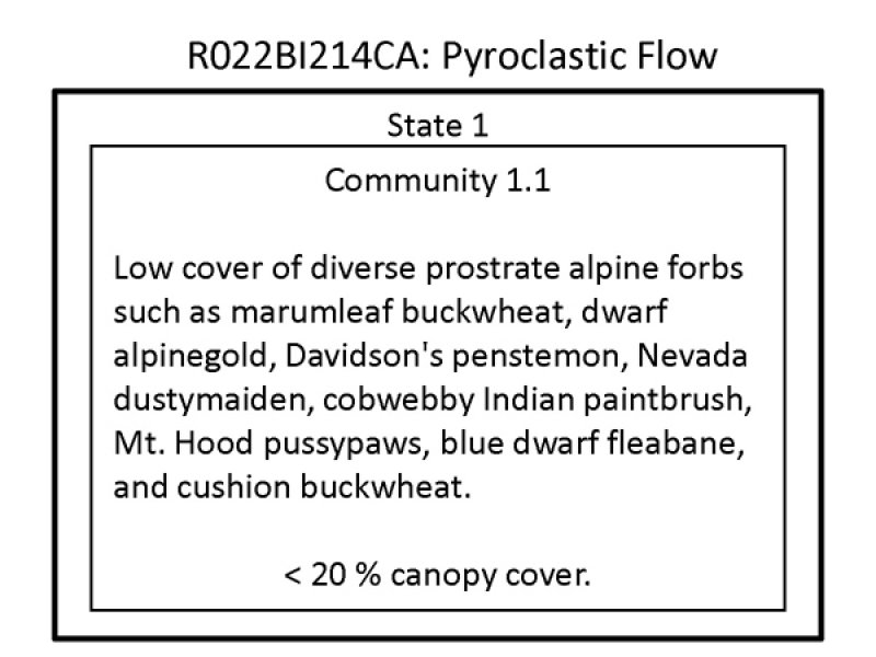
Vegetation: Low cover of prostrate alpine forbs such as marumleaf buckwheat (Eriogonum marifolium), dwarf alpinegold (Hulsea nana), Davidson's penstemon (Penstemon davidsonii), Nevada dustymaiden (Chaenactis nevadensis), cobwebby Indian paintbrush (Castilleja arachnoidea), and Mt. Hood pussypaws (Cistanthe umbellata var. umbellata).
Associated sites
| F022BI124CA |
Upper Cryic Slopes This is a mountain hemlock-whitebark pine forest site. |
|---|---|
| R022BI207CA |
Alpine Slopes This rangeland site is sparsely vegetated with lupine and scattered mountain hemlocks. |
Table 1. Dominant plant species
| Tree |
Not specified |
|---|---|
| Shrub |
Not specified |
| Herbaceous |
(1) Penstemon davidsonii |
Click on box and path labels to scroll to the respective text.

