Desert Salty Silt (Pickleweed)
Scenario model
Current ecosystem state
Select a state
Management practices/drivers
Select a transition or restoration pathway
- Transition T1A More details
- Transition T2A More details
-
No transition or restoration pathway between the selected states has been described
Target ecosystem state
Select a state
Description
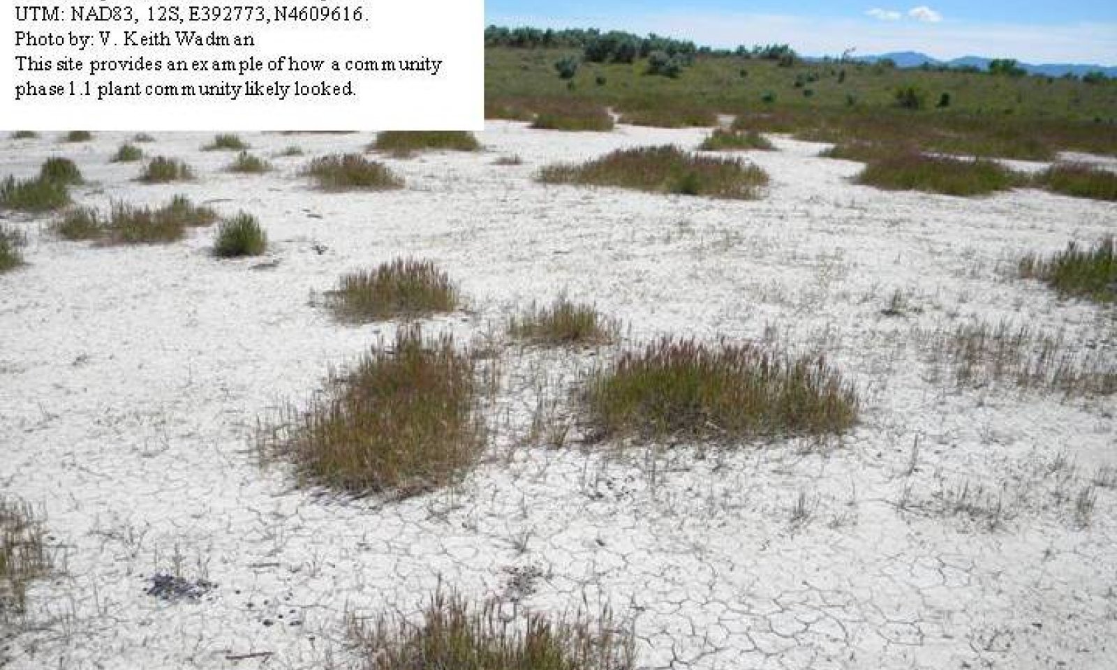
This reference state describes the natural biotic communities that may become established on the Desert Salty Silt - Utah pickleweed ecological site when all successional sequences are completed under the natural disturbance regime. The reference state is self-sustaining and resistant to change due to its high resistance to natural disturbances and high resilience following natural disturbances. When natural disturbances occur, the rate of recovery is variable due to disturbance intensity. This community could become at risk where increased disturbance frequencies allow for the introduction of annuals, such as cheatgrass and Russian thistle. Once invasive plants become established, return to the reference state may not be possible.
Reference State: Community phases influenced by native herbivore grazing, insect herbivory, and weather.
Indicators: A sparse perennial cool and warm season understory with Utah pickleweed and foxtail barley forming the dominant visual aspect.
Feedbacks: Extended drought and/or improper grazing that result in a reduction of native perennial plant vigor which may cause invasive species to become established in the community, increased bare ground, erosion, and soil loss. Properly managed grazing that maintains the perennial plant community.
At-risk Community Phase: All communities in this state are at risk when native plants are stressed and/or nutrients become available for invasive plants to establish.
Trigger: Introduction and establishment of non-native invasive plants such as cheatgrass and Russian thistle.
Submodel
Description
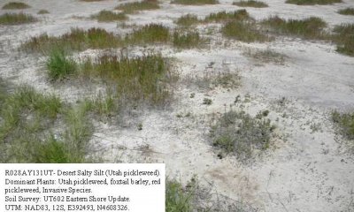
The current potential state is similar to the reference state, except that non-native and/or invasive species are present in all community phases. This state is generally dominated by Utah pickleweed and foxtail barley; however, depending on disturbance history, native grasses, forbs, or other shrubs may be lacking on the site. Primary disturbance mechanisms include climate fluctuations, waterfowl grazing, domestic livestock grazing, and surface disturbances such as road and pipeline development and off road vehicle (OHV) use. Timing of these disturbances dictates the ecological dynamics that can occur. The current potential state is still self- sustaining; but could be losing resistance to change due to increased disturbance and lower resilience following disturbances.
Indicators: A site dominated by Utah pickleweed and foxtail barley. Red pickleweed and desert saltgrass are also commonly present. Non-native species are now present in the stand.
Feedbacks: Extended drought resulting in a reduction of native perennial plant vigor. Normal fluctuations in weather allowing for the maintenance of both perennial forbs and grasses.
At-risk Community Phase: This state is at risk when perennial plant cover is reduced and nutrients become available for invasive plants to flourish.
Trigger: Spread of invasive plants to fill available niches.
Submodel
Description
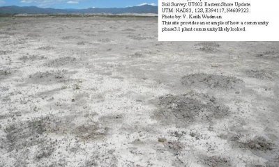
This community phase is characterized by sparse stand of Utah pickleweed associated with a few annuals such as red pickleweed, cheatgrass and Russian thistle. Total site vegetation is significently reduced. Cryptogamic crust, where present, and the roots of Utah pickleweed may be all that are holding the soil in place. When these conditions persist, the sites soil mounds begins to erode away turning the area into a lake playa.
Indicators: A site occupied by a sparse stand of Utah pickleweed. Red pickleweed may also be present. Non-native species may or may not be present in the stand.
Feedbacks: Extended drought resulting in a reduction of native perennial plant vigor. Normal fluctuations in weather allowing for the maintenance of both perennial forbs and grasses.
At-risk Community Phase: This state is at risk when perennial plant cover is reduced and soil begins to erode and move into surrounding lake playas.
Trigger: Loss of soil sufficient to destroy the sites integrity.
Submodel
Mechanism
This transition is from the native perennial forb and grass community in the reference state to a state that now contains invasive species. Events that allow for the establishment of invasive plant species include, improper livestock grazing that reduces perennial vegetation, prolonged drought, surface disturbances, etc. However, invasive species such as cheatgrass have been known to invade intact perennial plant communities with little to no disturbance. Once invasive species are found in the plant community a threshold has been crossed.
Mechanism
This transition is from the Current Potential State Community 2.2 - Utah picklwweed/At Risk Phase to State 3 - eroded state which has a very sparse stand of Utah pickleweed, red pickleweed and annual invasive plants. This transition occurs as events favor the reduction of perennial species and the increase of annual invasive plants. Typically, this occurs as total site production continues to decline due to surface disturbance, improper livestock grazing and/or drought. Once vegetative cover is reduced to the point where plants can hold the sites soil in place, a threshold has been crossed.
Model keys
Briefcase
Add ecological sites and Major Land Resource Areas to your briefcase by clicking on the briefcase (![]() ) icon wherever it occurs. Drag and drop items to reorder. Cookies are used to store briefcase items between browsing sessions. Because of this, the number of items that can be added to your briefcase is limited, and briefcase items added on one device and browser cannot be accessed from another device or browser. Users who do not wish to place cookies on their devices should not use the briefcase tool. Briefcase cookies serve no other purpose than described here and are deleted whenever browsing history is cleared.
) icon wherever it occurs. Drag and drop items to reorder. Cookies are used to store briefcase items between browsing sessions. Because of this, the number of items that can be added to your briefcase is limited, and briefcase items added on one device and browser cannot be accessed from another device or browser. Users who do not wish to place cookies on their devices should not use the briefcase tool. Briefcase cookies serve no other purpose than described here and are deleted whenever browsing history is cleared.
Ecological sites
Major Land Resource Areas
The Ecosystem Dynamics Interpretive Tool is an information system framework developed by the USDA-ARS Jornada Experimental Range, USDA Natural Resources Conservation Service, and New Mexico State University.


