Bi-Modal Semi-Arid Order 3 Ephemeral Wash


Scenario model
Current ecosystem state
Select a state
Management practices/drivers
Select a transition or restoration pathway
- Transition 1 More details
- Transition 2 More details
-
No transition or restoration pathway between the selected states has been described
Target ecosystem state
Select a state
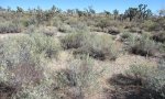
State 1
Reference

Description
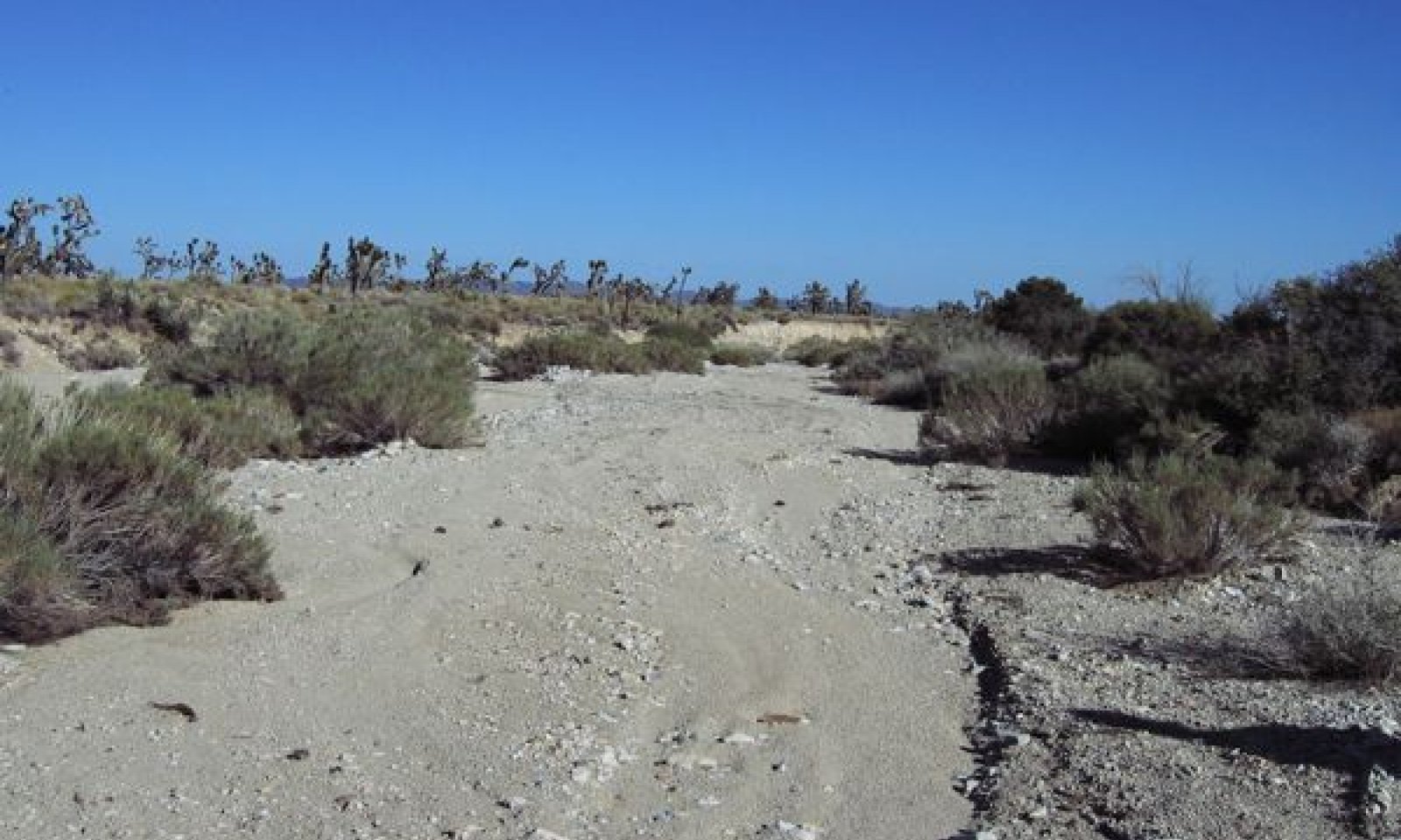
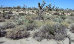
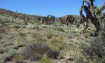
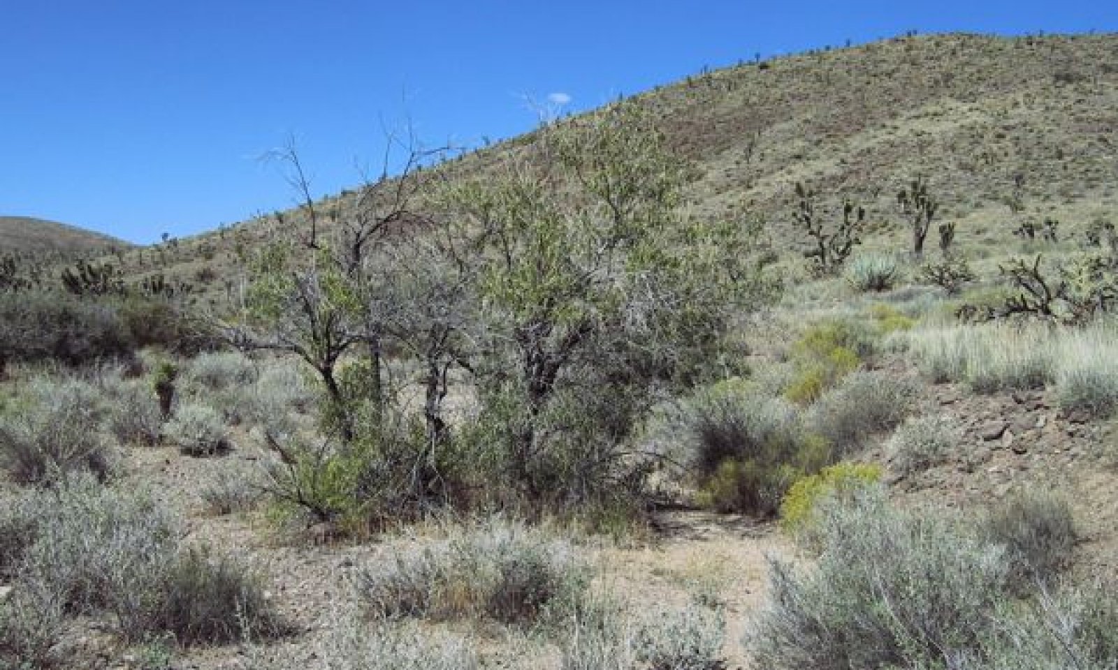
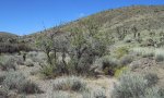
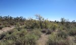
State one is maintained by unimpaired hydrologic function. It is characterized by a high degree of natural variability, with infrequent large magnitude flooding events periodically 'resetting' channel morphology and vegetation communities. More frequent smaller scale events interact with channel vegetation to increase channel complexity with time since a large event. This state develops with frequent moderate intensity flows, and consistent larger floods within 10-20 year time periods. Changes in flooding frequency over the extent of the landform affect vegetation composition.
Submodel
Description
A confined channel, lowering of the complexity of ecological communities with dominance by short-lived pioneering species, and a decline in vigor on rarely flooded terraces characterizes this state.
Fire in upland communities, especially on the adjacent mountain slopes that provide run-off and sediment to this site, is likely to increase the severity and frequency of high magnitude flood events, and result in increased sediment deposition (Stein et al. 2011). Grazing in upland communities may also increase flooding and sediment deposition (Trimble and Mendel 1995, Belsky et al. 1999). Both fire and grazing may also result in channel incision in different reaches, especially those that are higher in elevation and/or narrow.
State 3
Water Diversion
Description
An abandoned channel and the conversion of xeroriparian vegetation to an upland community characterize this state. Modifications such as dam building, railroads, roads, and drainage ditches will impact the function of these drainageways (Levick et al. 2008, Stein et al. 2011). Railroads established in the Mojave Desert in the early 1900’s impacted thousands of smaller drainageways, causing aggradation on upslope positions (Griffiths et al. 2006), and channel abandonment and loss or decline of xeroriarian vegetation on downslope positions.
Submodel
Mechanism
This transition may occur with severe flooding due to loss of soil stability from fire, grazing, global climate change, and hydrological modifications that concentrate flow.
Model keys
Briefcase
Add ecological sites and Major Land Resource Areas to your briefcase by clicking on the briefcase (![]() ) icon wherever it occurs. Drag and drop items to reorder. Cookies are used to store briefcase items between browsing sessions. Because of this, the number of items that can be added to your briefcase is limited, and briefcase items added on one device and browser cannot be accessed from another device or browser. Users who do not wish to place cookies on their devices should not use the briefcase tool. Briefcase cookies serve no other purpose than described here and are deleted whenever browsing history is cleared.
) icon wherever it occurs. Drag and drop items to reorder. Cookies are used to store briefcase items between browsing sessions. Because of this, the number of items that can be added to your briefcase is limited, and briefcase items added on one device and browser cannot be accessed from another device or browser. Users who do not wish to place cookies on their devices should not use the briefcase tool. Briefcase cookies serve no other purpose than described here and are deleted whenever browsing history is cleared.
Ecological sites
Major Land Resource Areas
The Ecosystem Dynamics Interpretive Tool is an information system framework developed by the USDA-ARS Jornada Experimental Range, USDA Natural Resources Conservation Service, and New Mexico State University.