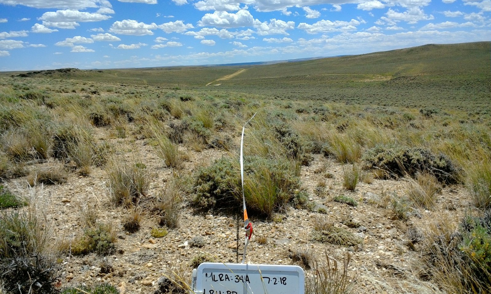
Shallow Sandy Pinedale Plateau (SwSy PP)
Circle-spoke model
Scenario model
Current land use
Select a land use
Management practices/drivers
Select a conversion
-
Conversion C1-2
Vegetation and extreme soil disturbance (heavy equipment)
More details -
Conversion C2-1
Re-shaping/re-contouring; topsoil replacement; seedbed preparation; seeding; weed and grazing management
More details -
No conversion pathway between the selected land uses has been described
Target land use
Select a land use
Description
Range is the dominant land use for this site and provides the most diverse ecosystem services. Range is land on which the historic and introduced vegetation is predominantly grasses, grass-like plants, forbs or shrubs managed as a natural ecosystem. Range may include natural grasslands, savannas, shrublands, tundra, alpine communities, marshes and meadows.
Characteristics and indicators
This landuse consists of diverse native plant communities dominated by Wyoming big sagebrush and perennial cool season grasses that provide for site stability, hydrologic function, and biotic integrity of the site.
Submodel
Description
Land that is barren, sandy, rocky, or that is impacted by the extraction of natural
resources, such as minerals, gravel or sand, coal, shale, rock, oil, or natural gas.
Characteristics and indicators
This land use can be many things, but in this LRU is most often associated with oil and gas development.
Barren land. A land cover/use category used to classify lands with limited capacity to support life and having less than 5 percent vegetative cover. Vegetation, if present, is widely spaced. [NRI-87]
Typically, the surface of barren land is sand, rock, exposed subsoil, or salt-affected soils. Subcategories include salt flats; sand dunes; mud flats; beaches; bare exposed rock; quarries, strip mines, gravel pits, and borrow pits; river wash; oil wasteland; mixed barren lands; and other barren land. [NRI-92]
Submodel
Mechanism
The conversion from Range to Other - Mineral Extraction Lands occurs when vegetation and soil is manipulated for the purpose of mineral extraction. Common practices are oil and natural gas pad and pipeline infrastructure, gravel pits, and road construction. Vegetation and topsoil is removed and topsoil is often stockpiled for on or off-site reclamation.
Mechanism
Conversion from Other - Mineral Extraction Lands to Range occurs, sometimes over a long period of time, as part of the restoration process after mineral extraction. There is low potential for recovery without significant inputs of energy and resources, especially if topsoil has been removed.
Seed mixes that mimic an adjacent “reference area” rather than the site potential as described in the Reference State (1.1) will often result in a plant community resembling the Grazing Resistant State (1.2) due to inappropriate seed mixes and pre- and post-seeding grazing management that does not provide adequate recovery and periodic critical growth period rest.
Model keys
Briefcase
Add ecological sites and Major Land Resource Areas to your briefcase by clicking on the briefcase (![]() ) icon wherever it occurs. Drag and drop items to reorder. Cookies are used to store briefcase items between browsing sessions. Because of this, the number of items that can be added to your briefcase is limited, and briefcase items added on one device and browser cannot be accessed from another device or browser. Users who do not wish to place cookies on their devices should not use the briefcase tool. Briefcase cookies serve no other purpose than described here and are deleted whenever browsing history is cleared.
) icon wherever it occurs. Drag and drop items to reorder. Cookies are used to store briefcase items between browsing sessions. Because of this, the number of items that can be added to your briefcase is limited, and briefcase items added on one device and browser cannot be accessed from another device or browser. Users who do not wish to place cookies on their devices should not use the briefcase tool. Briefcase cookies serve no other purpose than described here and are deleted whenever browsing history is cleared.
Ecological sites
Major Land Resource Areas
The Ecosystem Dynamics Interpretive Tool is an information system framework developed by the USDA-ARS Jornada Experimental Range, USDA Natural Resources Conservation Service, and New Mexico State University.


