Very Shallow Pinedale Plateau (VS PP)
Scenario model
Current ecosystem state
Select a state
Management practices/drivers
Select a transition or restoration pathway
-
Transition T1A
Extreme soil disturbance or catastrophic drought
More details -
No transition or restoration pathway between the selected states has been described
Target ecosystem state
Select a state
Description
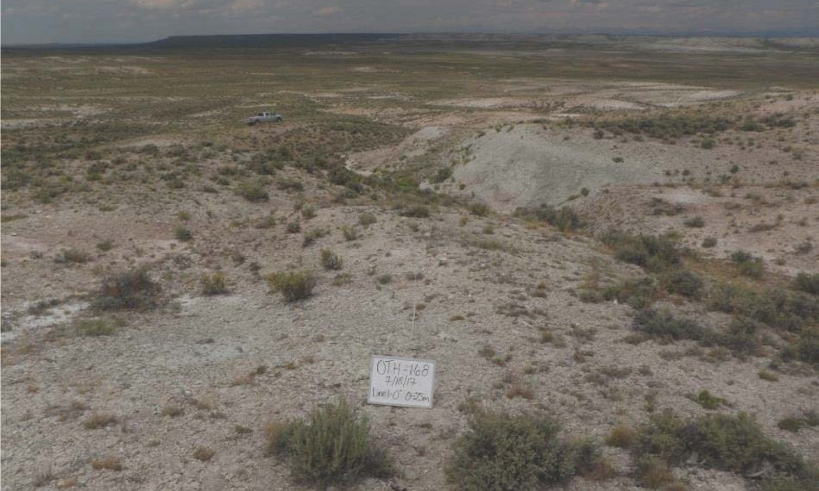
The Reference State consists of one plant community, the Bunchgrass/Mixed Shrub community. This plant community consists of bunchgrasses and a variety of shrub species. Tree species such as juniper or limber pine may be present as a minor component. Forbs are a minor component.
Characteristics and indicators
Dominant bunchgrasses include bluebunch wheatgrass and Indian ricegrass. Vegetation is sparse with high amounts of bare ground. The site can have a variety of shrubs depending on the surface geology and soil surface textures. It is very common to find pockets of deeper soil with bedrock outcropping and scattered shrubs and some trees such as juniper and limber pine. Even though vegetation is very sparse, individual plants may be quite robust as they have less competition for moisture captured in rock fissures. Because of the low amount of effective precipitation on the site, it is vulnerable to bunchgrass die-off events during extreme drought conditions.
Resilience management
This site has moderate resilience due to its aridic ustic (ustic bordering on aridic) soil moisture regime and frigid bordering on cryic temperature regime (Chambers et.al. 2014). Precipitation is typically low, but more effective with cooler temperatures and present when needed during the critical growth period (May through June). The site can usually recover after minor disturbance but is susceptible to delays in recovery during extreme climatic events such as drought.
The site has moderately high resistance to invasion by annual grasses because of climate limitations (dry and cold). The site may be susceptible to invasion after extreme disturbance during warmer climatic periods or on southeast aspects and concave microtopography.
Submodel
Description
The Eroded State is a result of soil-disturbing activities outside of the normal disturbance regime expected for this site. Examples are high intensity hoof action, anthropogenic activity, rodent activity, or accelerated classic gully or sheet and rill erosion caused by catastrophic drought followed by high precipitation events. It may also occur with continuous season-long high intensity grazing that does not allow for adequate plant recovery.
Characteristics and indicators
There is a shift towards mat-forming and annual forbs, sheet and rill erosion increases, often leading to an increase in the occurrence of classic gullies. Bare ground will increase to levels exceeding 60 percent, and perennial plant cover and composition will decrease.
Resilience management
Site resilience is lower than the Reference State. Once accelerated soil erosion occurs, the site has limited potential to recover after disturbance.
Annual weedy forbs and invasive grasses are more likely to invade after ground disturbing activities.
Submodel
Mechanism
Soil-disturbance outside of the normal disturbance regime expected for this site. Examples include high intensity hoof action, anthropogenic activity (e.g. mechanical disturbance), or rodent activity. Catastrophic drought may be a trigger for this transition.
Constraints to recovery
Soil erosion, persistent drought conditions, and herbivory pressure are constraints to recovery to the Reference State.
Context dependence
Warmer and drier climate trends contribute to uncertainty of restoration efforts. Steeper slopes will have more soil erosion and less likelihood of restoration once degraded.
Model keys
Briefcase
Add ecological sites and Major Land Resource Areas to your briefcase by clicking on the briefcase (![]() ) icon wherever it occurs. Drag and drop items to reorder. Cookies are used to store briefcase items between browsing sessions. Because of this, the number of items that can be added to your briefcase is limited, and briefcase items added on one device and browser cannot be accessed from another device or browser. Users who do not wish to place cookies on their devices should not use the briefcase tool. Briefcase cookies serve no other purpose than described here and are deleted whenever browsing history is cleared.
) icon wherever it occurs. Drag and drop items to reorder. Cookies are used to store briefcase items between browsing sessions. Because of this, the number of items that can be added to your briefcase is limited, and briefcase items added on one device and browser cannot be accessed from another device or browser. Users who do not wish to place cookies on their devices should not use the briefcase tool. Briefcase cookies serve no other purpose than described here and are deleted whenever browsing history is cleared.
Ecological sites
Major Land Resource Areas
The Ecosystem Dynamics Interpretive Tool is an information system framework developed by the USDA-ARS Jornada Experimental Range, USDA Natural Resources Conservation Service, and New Mexico State University.
