Riparian Complex Perennial Gravelly VIII/E4 (Northwest Territory Sedge)
Scenario model
Current ecosystem state
Select a state
Management practices/drivers
Select a transition or restoration pathway
- Transition T1A More details
- Transition T2A More details
- Transition T3A More details
-
No transition or restoration pathway between the selected states has been described
Target ecosystem state
Select a state
State 1
Reference


Description
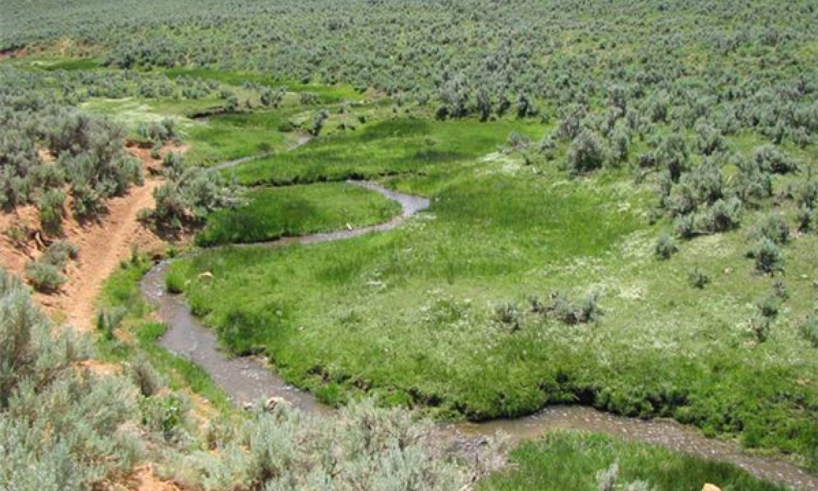
The reference state for this site is a low gradient, meandering, very low width/depth stream channel with associated streambank, flood plain and flood-plain step landforms and plant community components. The stream channel typically meanders across the entire valley bottom, which effects the placement of each plant community. All plant communities can be present in this state.
Submodel
State 2
Degraded


Description
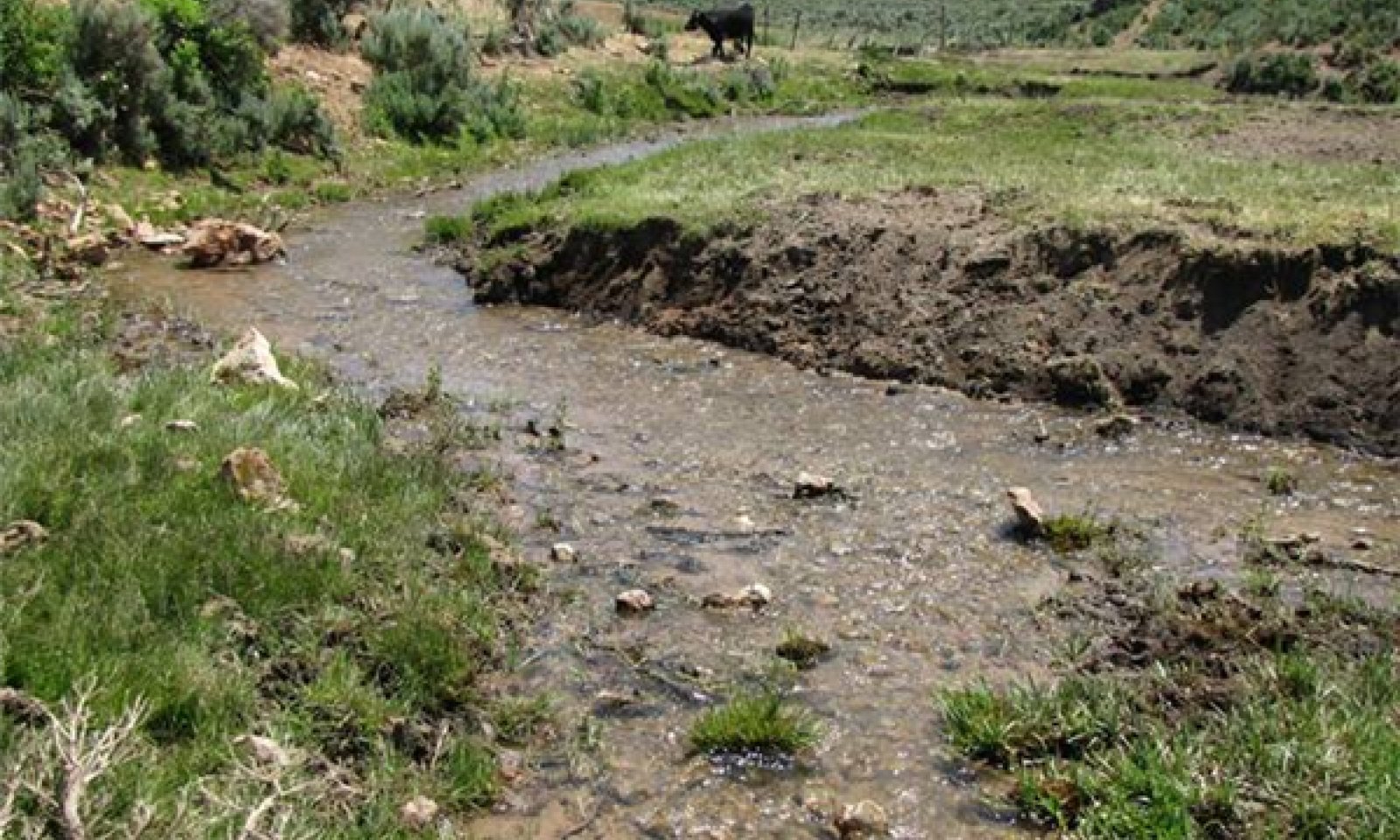
This state is characterized by a shift in the composition of plant community components due to season long grazing pressure. The sedges and willow typically found on the streambanks are particularly palatable to livestock and can be grazed at a level that weakens the plant eventually leading to loss from the site (i.e. Northwest Territory sedge). Kentucky bluegrass often replaces these sedges along the streambank (see Ecological Dynamics section). Bank sloughing is prevalent.
Submodel
State 3
Re-established Flood Plain


Description
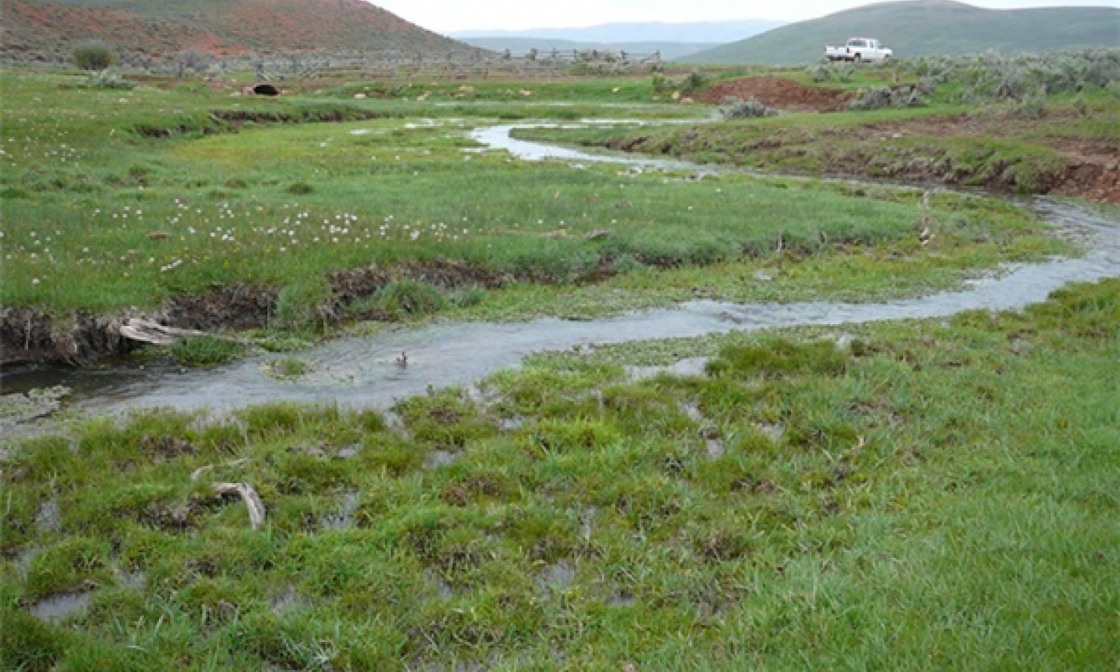
This state is characterized by riparian areas that have down cut and reestablished floodplains at a lower elevation. The riparian area is narrower than reference condition, but otherwise functions similarly.
Submodel
Mechanism
Change in vegetation on the banks to shallow rooted species, decrease in bank stability and bank sloughing causing a change in channel geometry to a wider shallower channel
Mechanism
Vegetation re-establishment on streambanks and floodplain, rest from grazing pressure
Model keys
Briefcase
Add ecological sites and Major Land Resource Areas to your briefcase by clicking on the briefcase (![]() ) icon wherever it occurs. Drag and drop items to reorder. Cookies are used to store briefcase items between browsing sessions. Because of this, the number of items that can be added to your briefcase is limited, and briefcase items added on one device and browser cannot be accessed from another device or browser. Users who do not wish to place cookies on their devices should not use the briefcase tool. Briefcase cookies serve no other purpose than described here and are deleted whenever browsing history is cleared.
) icon wherever it occurs. Drag and drop items to reorder. Cookies are used to store briefcase items between browsing sessions. Because of this, the number of items that can be added to your briefcase is limited, and briefcase items added on one device and browser cannot be accessed from another device or browser. Users who do not wish to place cookies on their devices should not use the briefcase tool. Briefcase cookies serve no other purpose than described here and are deleted whenever browsing history is cleared.
Ecological sites
Major Land Resource Areas
The Ecosystem Dynamics Interpretive Tool is an information system framework developed by the USDA-ARS Jornada Experimental Range, USDA Natural Resources Conservation Service, and New Mexico State University.


