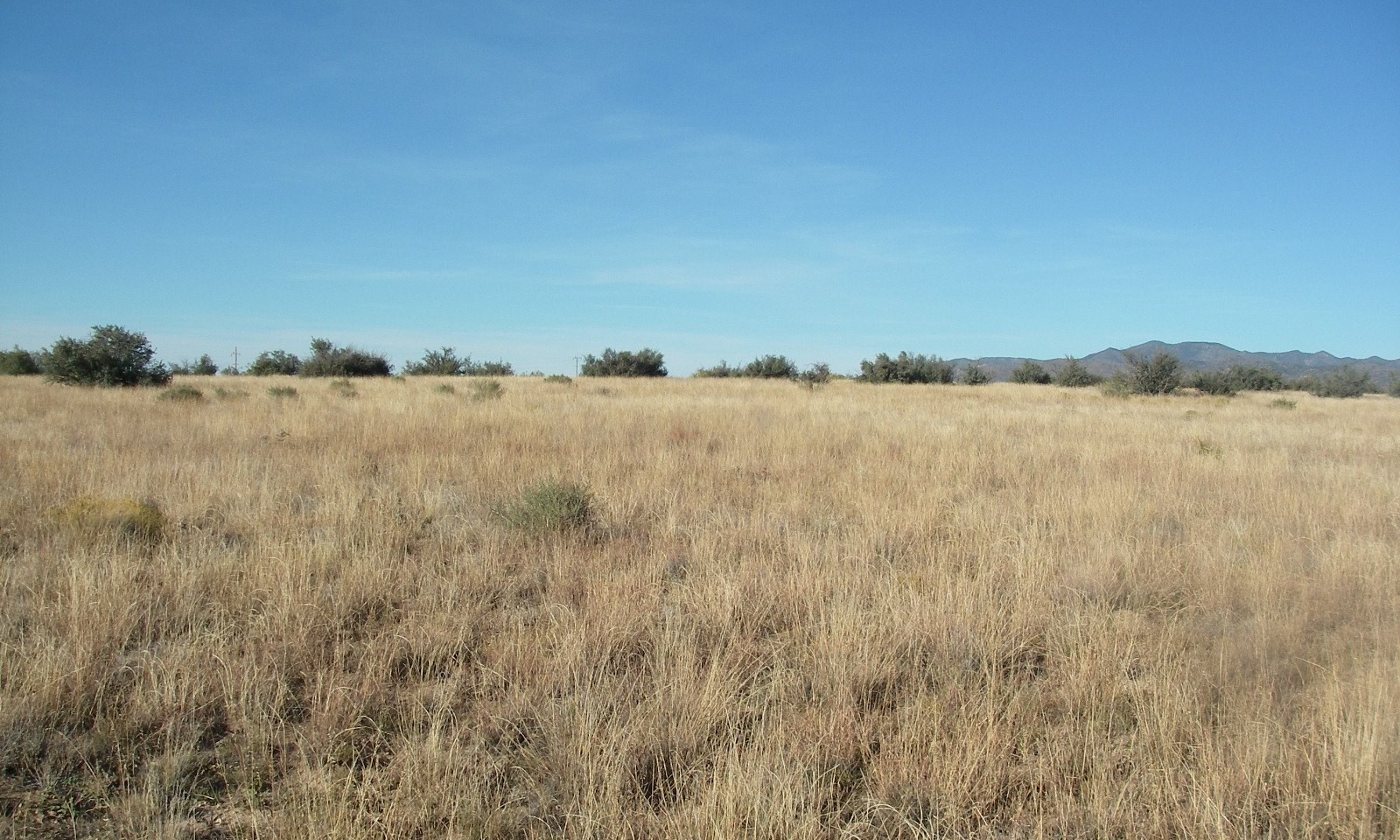
Sandy Loam Upland, Deep 12-16" p.z.
Scenario model
Current ecosystem state
Select a state
Management practices/drivers
Select a transition or restoration pathway
-
No transition or restoration pathway between the selected states has been described
Target ecosystem state
Select a state
Description
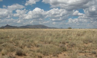
The Midgrass State is the Reference Plant Community (RPC). It is a warm season dominated grassland (canopy cover of 55 to 65%). Cool and warm season annual grasses and forbs are well represented in the flora. Half shrubs and perennial forbs are an important group also.
The coefficient of variation (CV) is a useful measure to compare variability of data sets. Warm season grasslands are dependent on winter moisture to keep root systems hydrated and prevent desiccation. Summer moisture is critical for restoration and maintenance of root systems as well as above ground growth and seed or vegetative reproduction vital to the maintenance of the community. No clear pattern exists for CV values of historic winter rainfall from climate stations in the vicinity of grasslands in the 12-16” precipitation zone of Southeastern Arizona (Land Resource Unit (LRU) 41-3) and grasslands in the 12-16” precipitation zone in Central Arizona (LRU 38-1); both are equally variable. However, climate stations in the vicinity of grasslands in these 2 LRU’s show distinct separation of CV values of historic summer precipitation values; partially explained by southeast Arizona being in closer proximity to summer moisture originating out of the Gulf of Mexico. The CV of historic summer precipitation at Walnut Grove, Yavapai County is 82; the climate station located closest to the RPC inventory location. Coefficient of variation values of historic summer precipitation at Willow Springs, Winkelman, Superior (Pinal County), San Carlos Lake, and Roosevelt Lake (Gila County) are 79, 79, 82, 78, and 82, respectively. The soil moisture/temperature regime of the lower elevation sites of Winkelman, Superior, and Roosevelt Lake do not fit LRU 38-1 very well. However, they are very near the transition between 40-1 and 38-1 and illustrate near equal variability of summer precipitation of these regions. This is contrasted with locations like Willcox (Cochise County) and San Manuel (Pinal County) in LRU 41-3 that have historic summer precipitation CV values of 69-72. Despite grasslands in LRU 38-1 experiencing approximately 10% more variable average summer rainfall the existence of these grassland communities can be observed. A high density/producing grass community on a calcareous soil is found in the southeast portion of LRU 38-1 on the extreme northwest portion of Willow Springs Ranch near the boundary with the 96 Ranch at an elevation of 3500 feet; evidence that climate in the far southeast portion of LRU 38-1 has the potential to support perennial grassland communities as found at the RPC documented in the far northwest portion of the LRU. Perennial grasslands in LRU 38-1 are likely more susceptible to the stressors that induce transitions to alternative states given the greater variability of summer rainfall in this region; especially shrub dominated communities that are so prevalent in this MLRA.
Submodel
Description
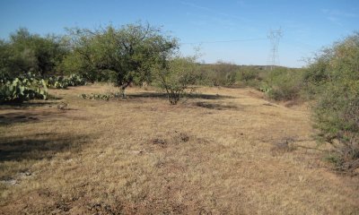
Subshrubs increase in abundance due to reduced abundance/vigor of perennial grasses.
Submodel
Description
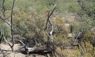
Trees and shrubs have increased in the absence of periodic wildfire. Perennial grasses have been replaced by annual grasses and forbs.
Submodel
Description
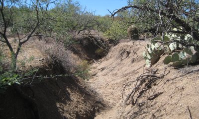
Trees or shrubs have increased to dominate the site.
Submodel
Model keys
Briefcase
Add ecological sites and Major Land Resource Areas to your briefcase by clicking on the briefcase (![]() ) icon wherever it occurs. Drag and drop items to reorder. Cookies are used to store briefcase items between browsing sessions. Because of this, the number of items that can be added to your briefcase is limited, and briefcase items added on one device and browser cannot be accessed from another device or browser. Users who do not wish to place cookies on their devices should not use the briefcase tool. Briefcase cookies serve no other purpose than described here and are deleted whenever browsing history is cleared.
) icon wherever it occurs. Drag and drop items to reorder. Cookies are used to store briefcase items between browsing sessions. Because of this, the number of items that can be added to your briefcase is limited, and briefcase items added on one device and browser cannot be accessed from another device or browser. Users who do not wish to place cookies on their devices should not use the briefcase tool. Briefcase cookies serve no other purpose than described here and are deleted whenever browsing history is cleared.
Ecological sites
Major Land Resource Areas
The Ecosystem Dynamics Interpretive Tool is an information system framework developed by the USDA-ARS Jornada Experimental Range, USDA Natural Resources Conservation Service, and New Mexico State University.

