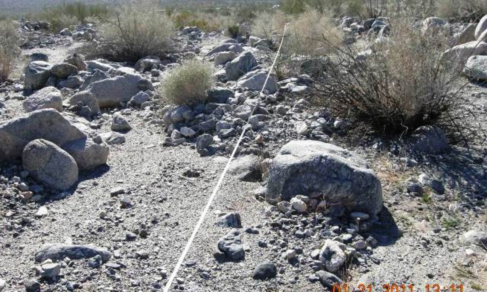
Stony, Occasionally Flooded Ephemeral Stream
Scenario model
Current ecosystem state
Select a state
Management practices/drivers
Select a transition or restoration pathway
- Transition 2A More details
- Restoration pathway R3a More details
-
No transition or restoration pathway between the selected states has been described
Target ecosystem state
Select a state
Description
State 1 represents the historic-natural condition for this ecological site. It is similar to State 2, but has only native species. If we were to include dynamics for this state it would be the same as displayed in State 2. The presence of non-native species is minimal in State 2, and has not altered the hydrology or fire frequency.
Description
This state represents the most common and most ecologically intact condition for this ecological site at the present time.
Submodel
Description
State 3 represents altered hydrological conditions. Data is needed to develop a successional diagram for this state.
Altered surface flow was observed due to road crossings. Flow can either be diverted away from or to an area. The diversion of flow from an area will cause a decline of xeroriparian vegetation and subsequent increase of creosote dominated plant communities. Increased flow to an area can cause erosion with channel widening or incision.
Ground water drawdown from household wells (Nishikawa et al. 2004) or the diversion of surface flow in the upper watershed can deplete the water source for deep rooted species such as desert lavender, smoketree, blue paloverde, and ironwood.
Submodel
Mechanism
Surface flow alterations, or ground water draw down can trigger a transition to State 3.
Mechanism
Restoration from State 3 back to State 2 would be an intensive task. Individual site assessments would be required to determine proper restoration methods. Some hydrological modifications are not feasible restored, such as ground water depletion. However, impervious pavement, road diversions, and channel armoring can be redesigned to allow proper infiltration and channel flow. Seeds or plants of appropriate species may need to be reintroduced to the restored channels, and associated sheet-flow areas.
Model keys
Briefcase
Add ecological sites and Major Land Resource Areas to your briefcase by clicking on the briefcase (![]() ) icon wherever it occurs. Drag and drop items to reorder. Cookies are used to store briefcase items between browsing sessions. Because of this, the number of items that can be added to your briefcase is limited, and briefcase items added on one device and browser cannot be accessed from another device or browser. Users who do not wish to place cookies on their devices should not use the briefcase tool. Briefcase cookies serve no other purpose than described here and are deleted whenever browsing history is cleared.
) icon wherever it occurs. Drag and drop items to reorder. Cookies are used to store briefcase items between browsing sessions. Because of this, the number of items that can be added to your briefcase is limited, and briefcase items added on one device and browser cannot be accessed from another device or browser. Users who do not wish to place cookies on their devices should not use the briefcase tool. Briefcase cookies serve no other purpose than described here and are deleted whenever browsing history is cleared.
Ecological sites
Major Land Resource Areas
The Ecosystem Dynamics Interpretive Tool is an information system framework developed by the USDA-ARS Jornada Experimental Range, USDA Natural Resources Conservation Service, and New Mexico State University.


