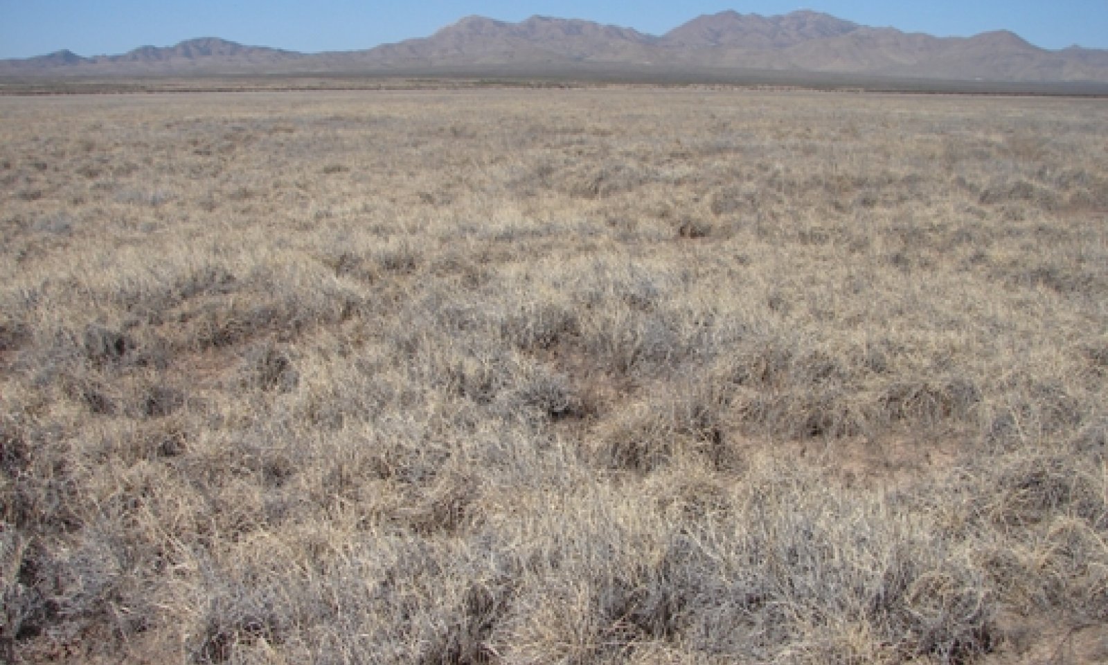
Clay Flat, Desert Grassland
Scenario model
Current ecosystem state
Select a state
Management practices/drivers
Select a transition or restoration pathway
- Transition T1A More details
- Transition T1B More details
- Transition T1C More details
- Restoration pathway R2A More details
- Transition T2A More details
- Restoration pathway R3A More details
- Transition T3A More details
- Restoration pathway R4A More details
- Transition T4A More details
- Transition T4B More details
- Transition T4C More details
- Restoration pathway R5A More details
- Transition T5A More details
-
No transition or restoration pathway between the selected states has been described
Target ecosystem state
Select a state
State 1
Grassland


Description
Grasslands comprise a small part of the Chihuahuan Desert but are vital to the biological diversity of the eco-region (Desmond and Montoya 2006). The Grassland State consists of two tobosa dominated communities: Tobosa 1.1 and the Tobosa-vine mesquite-gramas 1.2. Shrub canopy cover is less than 10 percent within both communities. The primary natural disturbance that influences species composition is fire. This state is very resistant to disturbances. Sites occurring on broad basin floors inherently support fewer shrubs than sites occurring in narrow drainageways.
Submodel
Description
A canopy cover of 10 percent or greater characterizes this state. Past land use has allowed shrubs, primarily western honey mesquite, to encroach. However, current management has allowed the recovery of tobosa. Tobosa cover ranges from 40-75 percent in this state. With adequate fine fuels, fire can be a useful management tool within this state.
Submodel
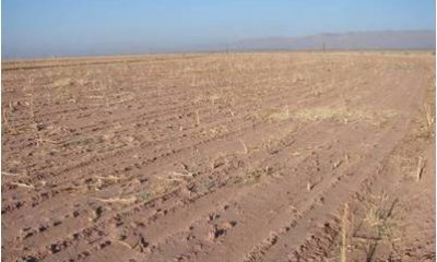
Description
This state is characterized by active farming of crops or forages.
Submodel
State 4
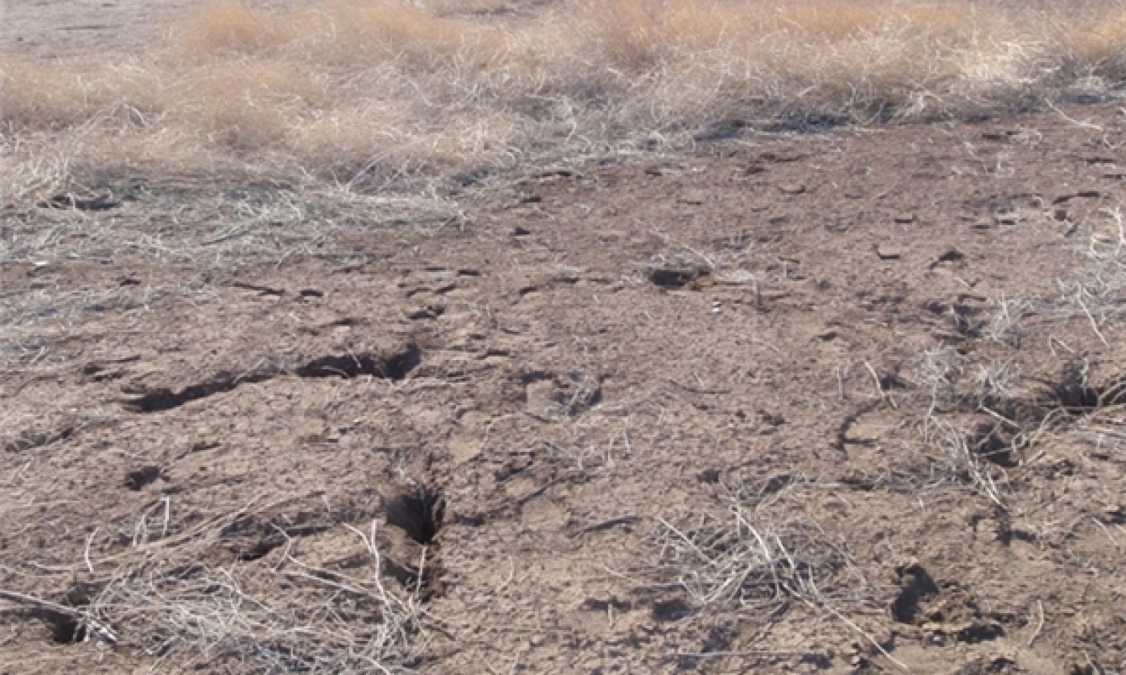
Bare Ground/Annuals


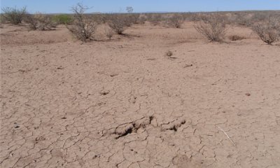
Description
A high percentage of bare ground (20-90 percent) and isolated tobosa plants characterize this state. This state is typically restricted to high use areas where trampling and overutilization of tobosa has occurred, near areas where hydrologic alterations that restrict the natural flow of water have been installed, or on abandoned farmland.
Submodel
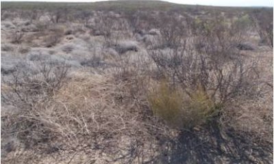
Description
A shrub canopy cover greater than 10 percent characterized this state. The most common shrub is western honey mesquite. The community is characterized by large patches of bare ground with few scattered grasses. This state is typically restricted to high use areas where trampling and overutilization of tobosa has occurred and mesquite and/or other shrubs have been introduced and established.
Submodel
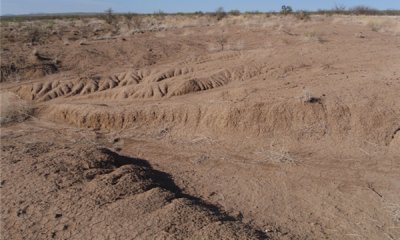
Description
This is the most degraded state of the Clay Flat Site. It is characterized by extensive and active rill and gully erosion and is most commonly found adjacent to primary drainage channels and where the natural hydrology has been altered by dams, diversions, roads, canals, fences, or other man-made structures. These hydrologic alterations combined with prolonged overgrazing have caused this irreversible eroded state.
Submodel
Mechanism
Overutilization of grasses by cattle, horses, or sheep over a prolonged period and the encroachment of shrubs, primarily western honey mesquite will transition the Grassland State 1 to the Shrubland State 2.
Mechanism
Land clearing will transition the Grassland State 1 to the Converted Land State 3.
Mechanism
Overutilization of grasses by cattle, horses, or sheep over a prolonged period and hydrological alterations such as dams and diversions, either alone or in combination, will transition the Grassland State 1 to the Bare Ground/Annuals State 4.
Mechanism
Prescribed fire would be the most economical method to restore the Shrubland State to the Grassland State. Mechanical (grubbing) or chemical brush management is another option. Prescribed grazing or no grazing will also be needed to help facilitate the restoration process. Restoration of grasses cannot occur without favorable rainfall.
Mechanism
Heavy continuous grazing by cattle, sheep, and/or horses over a prolonged period and hydrological alterations such as dams, diversions, dirt tanks, either alone or in combination, will transition the Shrub/Bare Ground State 5. to the Bare Ground/Shrub State (5).
Mechanism
Rangeland restoration treatments and favorable rainfall will be needed to potentially restore the Grassland State. Restoration efforts may first need to address ecological processes, such as hydrology, first prior to restoring structure (individual plants) (Whisenant 1999). Under favorable conditions, abandoned areas can potentially be replanted to perennial grasses. Some limitations to reseeding include seed availability, drought, loss of topsoil, and improper seedbed preparation.
Mechanism
Abandonment of cultivation will drive the Converted Land State to the Bare Ground/Annuals State (4).
Mechanism
A combination of prescribed grazing or no grazing, intensive restoration treatments, and favorable rainfall will help restore the Grassland State. Restoration efforts should focus first on addressing ecological process (i.e. hydrology, nutrient cycling, energy capture) prior to addressing structure (individual plants) (Whisenant, 1999).
Mechanism
Land clearing will transition the Bare/Annuals State to the Converted Land State.
Mechanism
Introduction of mesquite seed by domestic livestock and favorable weather will transition the Bare/Annuals State to the Bare Ground/Shrub State.
Mechanism
High intensity rainfall will cause varying degrees of erosion because of the lack of continuous herbaceous plant cover and eventually transition the community to the Eroded State.
Mechanism
A combination of prescribed grazing or no grazing, intensive restoration treatments, and favorable rainfall will help restore the Grassland State. Restoration efforts should focus first on addressing ecological process (i.e. hydrology, nutrient cycling, energy capture) prior to addressing structure (individual plants) (Whisenant 1999).
Model keys
Briefcase
Add ecological sites and Major Land Resource Areas to your briefcase by clicking on the briefcase (![]() ) icon wherever it occurs. Drag and drop items to reorder. Cookies are used to store briefcase items between browsing sessions. Because of this, the number of items that can be added to your briefcase is limited, and briefcase items added on one device and browser cannot be accessed from another device or browser. Users who do not wish to place cookies on their devices should not use the briefcase tool. Briefcase cookies serve no other purpose than described here and are deleted whenever browsing history is cleared.
) icon wherever it occurs. Drag and drop items to reorder. Cookies are used to store briefcase items between browsing sessions. Because of this, the number of items that can be added to your briefcase is limited, and briefcase items added on one device and browser cannot be accessed from another device or browser. Users who do not wish to place cookies on their devices should not use the briefcase tool. Briefcase cookies serve no other purpose than described here and are deleted whenever browsing history is cleared.
Ecological sites
Major Land Resource Areas
The Ecosystem Dynamics Interpretive Tool is an information system framework developed by the USDA-ARS Jornada Experimental Range, USDA Natural Resources Conservation Service, and New Mexico State University.

