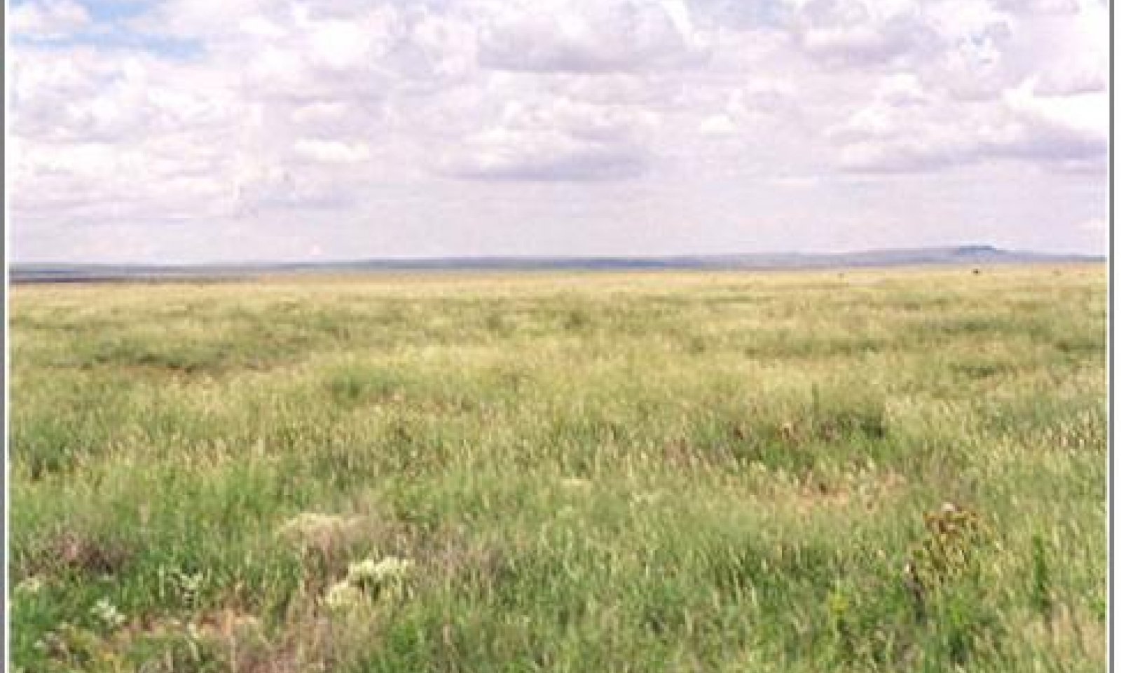
Loamy, Dry Mixed Prairie
Scenario model
Current ecosystem state
Select a state
Management practices/drivers
Select a transition or restoration pathway
- Transition 1a More details
- Restoration pathway 1b More details
- Transition 2 More details
- Restoration pathway 3 More details
- Transition 4 More details
- Restoration pathway 5 More details
-
No transition or restoration pathway between the selected states has been described
Target ecosystem state
Select a state
Description
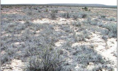
This state is characterized by the invasion of creosotebush and/or an increase in tarbush. Tobosa and burrograss are the dominant grass species of this state. Retrogression within this state results in a reduction of grass cover and an increase in creosotebush or tarbush. As grass cover is reduced organic matter is reduced and infiltration and soil aggregate stability decline.4 This results in increased erosion rates and lower available soil moisture. Grazing management needs to be implemented to maintain or increase adequate grass cover to protect soil resources and impede shrub seedling establishment.
The presence of creosotebush on adjacent gravelly sites may increase the probability of creosotebush encroachment on the loamy site. Those loamy soils with calcareous horizons or even small amounts of gravel in the profile, such as in Salado soil series, seem to be at greater risk of invasion by creosotebush.
Diagnosis: Tobosa and burrograss cover is variable and can range from fairly uniform to patchy. Creosotebush is present and/or there is an increased representation of tarbush. Creosotebush-tarbush canopy cover may eventually approach co-dominance with grasses.
Submodel
Description
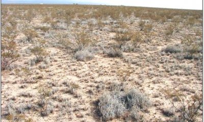
Shrubs dominate this state in both composition and aspect. Grass cover is limited and large interconnected bare patches occupy areas between shrubs. Burrograss is the dominant grass, threeawns increase and clumps of tobosa are scattered across the site occupying the more protected areas or positions receiving a little more moisture. Increased shrub density and decreased grass cover characterize retrogression within this state. Reduction of grass cover and increased physical soil crusts reduce infiltration and available soil moisture. Slope, amount and timing of overland flow the site receives, soil aggregate stability, and amount of physical and biological crusts influence soil erosion rates on this site.
Diagnosis: Creosotebush, tarbush or a mix of both are present and dominate the site. Grass cover is sparse with frequent interconnected large bare patches (>1m). Physical soil crusts are present reducing infiltration and available soil moisture. Evidence of erosion including rills, pedestals and litter movement can be common. Gullies may be present.
Submodel
Description
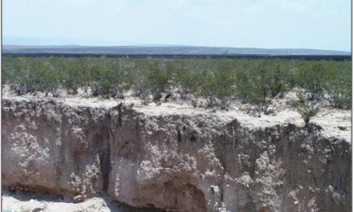
This state is characterized by erosion and a change in hydrology. Loamy sites receive run-on water from higher adjacent sites. A change in natural flow patterns can cause a concentration of overland flow, accelerated erosion, and subsequent gully formation. Burrograss is the dominant grass species. Threeawns and fluffgrass are also present. Creosotebush or tarbush is the dominant shrub.
Submodel
Mechanism
Periods of severe drought can reduce grass production, cover, and composition regardless of whether or not the site is being grazed2. Reduction in production and grass cover due to drought or overgrazing results in an increase in the amount and size of bare patches. These patches may provide competition-free sites and facilitate shrub seedling establishment. Years of above average precipitation during winter month may favor shrub establishment by making soil moisture available to shrubs during periods of C4 grass dormancy.1 If fire historically played a part in Chihuahuan Desert grasslands ecology then fire suppression may aid shrub establishment.3
Key indicators of approach to transition:
Loss of vine mesquite, an indicator of decreasing species diversity.
Loss of blue grama cover.
Increase in burrograss cover.
Increases in bare patch size.
Appearance of creosotebush or tarbush seedlings.
Mechanism
Brush management may be necessary to remove competition from shrubs and restore cover. Allow natural revegetation of grasses to occur following brush control. Control of forage utilization through prescribed grazing will help to ensure recovery and increase cover.
Mechanism
Continued overgrazing and/or drought further reduce grass production and cover, favoring shrub expansion by decreasing organic matter, and reducing competition for resources between grasses and shrub seedlings. The formation of soil surface physical crusts decreases infiltration and impedes grass seedling establishment. Lack of adequate grass cover also eliminates the opportunity for natural or prescribed fires to suppress shrubs. Once shrubs are established, the redistribution of water and nutrient resources around shrubs favors further shrub growth and recruitment. Periods of above-average precipitation during winter months may also favor shrub establishment and growth.1
Key indicators of approach to transition:
Increase in amount of creosotebush or tarbush seedlings and young plants.
Increases in the number of bare patches and decreases in overall grass cover.
Increases in bare patch size
Soil surface physical crusting
Increased evidence of erosion such as rills, small gullies or pedestaling of plants.
Mechanism
Brush management is necessary to remove competition from shrubs. Range seeding is needed to supply adequate seed source. Pitting and seeding prior to summer rains may help break up soil physical crusts, create small pits to hold water and increase survival of grass seedlings. Soil physical crusts, loss of organic matter, and degree of erosion affect the probability of successful grass establishment.
Mechanism
Loss of adequate grass cover necessary to protect soil from run-on water from higher adjacent sites can facilitate this transition. Reduced cover, organic matter, and soil aggregate stability increase susceptibility to erosion and subsequent gully formation. This transition can be caused by both offsite (concentration of overland flow) and onsite (decreased soil stability) factors.
Key indicators of approach to transition:
Rills or small gullies along roads or trails running parallel with slope on adjacent upland sites.
Increased evidence of physical soil crusts and water flow patterns.
Increased evidence of erosion such as rills, small gullies.
Mechanism
Erosion control practices are essential to restore hydrology. Brush management is needed to remove competition from shrubs and allow grass seedling establishment. Range seeding is required to supply adequate seed source for blue grama, tobosa, and other grasses originally present in grassland state. Grazing management is necessary to defer grazing until plants are established following seeding and insure proper forage utilization once grazing is resumed. Management practices required to drive the transition back to grassland are costly and chances for successful grass establishment are dependent on adequate precipitation following seeding and degree of soil degradation.
Model keys
Briefcase
Add ecological sites and Major Land Resource Areas to your briefcase by clicking on the briefcase (![]() ) icon wherever it occurs. Drag and drop items to reorder. Cookies are used to store briefcase items between browsing sessions. Because of this, the number of items that can be added to your briefcase is limited, and briefcase items added on one device and browser cannot be accessed from another device or browser. Users who do not wish to place cookies on their devices should not use the briefcase tool. Briefcase cookies serve no other purpose than described here and are deleted whenever browsing history is cleared.
) icon wherever it occurs. Drag and drop items to reorder. Cookies are used to store briefcase items between browsing sessions. Because of this, the number of items that can be added to your briefcase is limited, and briefcase items added on one device and browser cannot be accessed from another device or browser. Users who do not wish to place cookies on their devices should not use the briefcase tool. Briefcase cookies serve no other purpose than described here and are deleted whenever browsing history is cleared.
Ecological sites
Major Land Resource Areas
The Ecosystem Dynamics Interpretive Tool is an information system framework developed by the USDA-ARS Jornada Experimental Range, USDA Natural Resources Conservation Service, and New Mexico State University.


