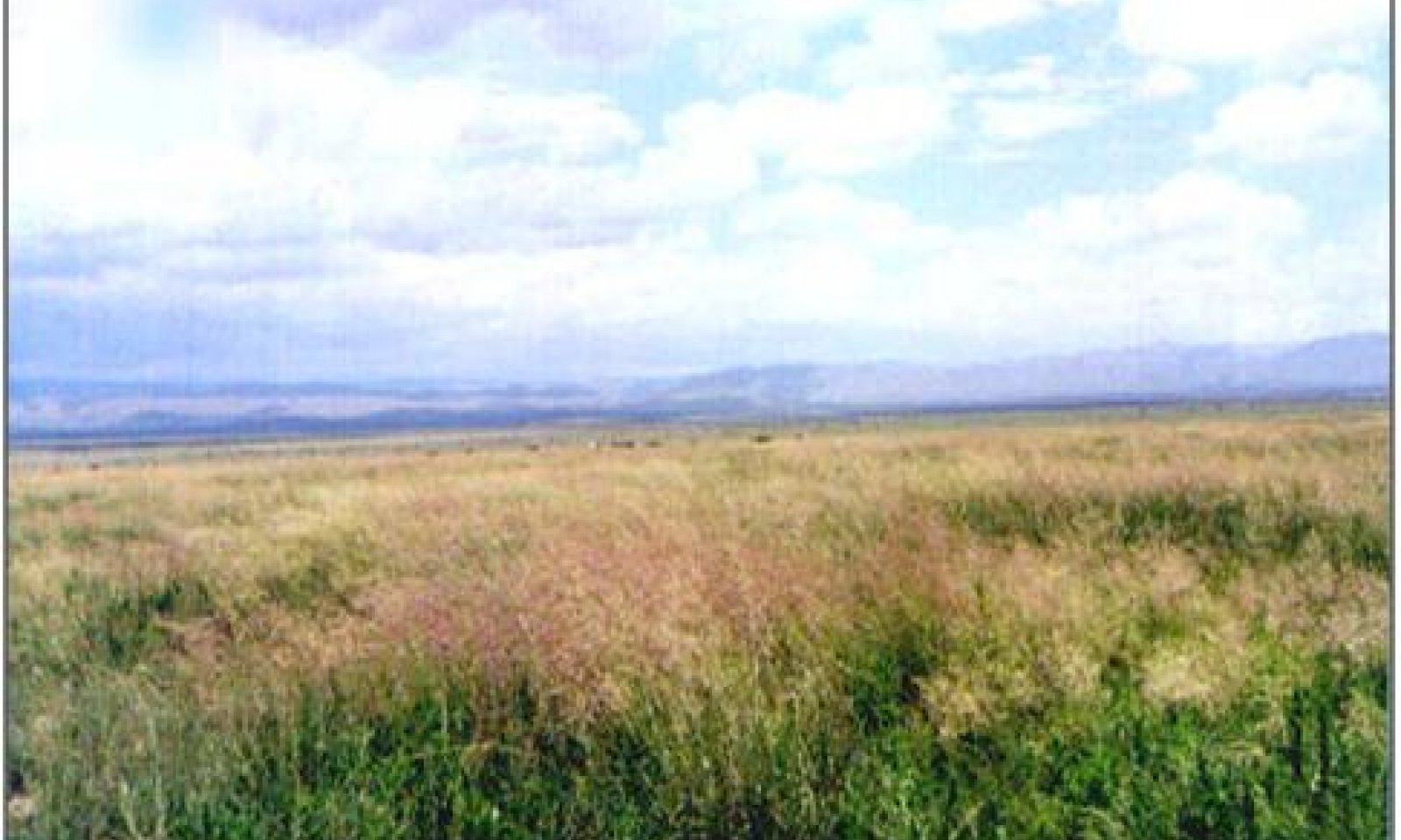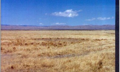
Loamy Bottom, Dry Mixed Prairie
Scenario model
Current ecosystem state
Select a state
Management practices/drivers
Select a transition or restoration pathway
- Transition 1a More details
- Transition 1b More details
-
No transition or restoration pathway between the selected states has been described
Target ecosystem state
Select a state
Description
Tobosa and burrograss are the dominant grass species. This change in state is primarily due to a change in hydrology where effective run-on moisture is reduced. Without the addition of overland flow the site begins to dry and alkali sacaton decreases. The alkali sacaton will clump up forming tussocks and eventually die from the center outward. Drought and grazing pressure can accelerate this decrease in alkali sacaton. As the site begins to dry the number of bare patches increase and they begin to connect, forming large bare areas. The soils in these areas form physical crust when erosion causes particles to dislodge clogging the pores of the soil surface2. These clogged pores reduce infiltration of water and nutrients necessary for plant growth. Tobosa and burrograss are better adapted to reduced soil moisture and eventually become the dominant grasses.
Submodel
Mechanism
The construction of roads or the formation of gullies can effectively reduce the amount of moisture a site receives by intercepting and rerouting surface and ground water. Heavy grazing may accelerate formation of gullies by reducing vegetative cover and creating stock trails.
Key indicators of approach to transition:
Reduction in alkali sacaton cover and increase in size and frequency of bare patches.
Increase in tobosa and or burrograss cover.
The formation of roads, gullies or other features (on or off site) that disrupts natural overland flow on site.
Decrease in frequency and duration of water ponding.
Model keys
Briefcase
Add ecological sites and Major Land Resource Areas to your briefcase by clicking on the briefcase (![]() ) icon wherever it occurs. Drag and drop items to reorder. Cookies are used to store briefcase items between browsing sessions. Because of this, the number of items that can be added to your briefcase is limited, and briefcase items added on one device and browser cannot be accessed from another device or browser. Users who do not wish to place cookies on their devices should not use the briefcase tool. Briefcase cookies serve no other purpose than described here and are deleted whenever browsing history is cleared.
) icon wherever it occurs. Drag and drop items to reorder. Cookies are used to store briefcase items between browsing sessions. Because of this, the number of items that can be added to your briefcase is limited, and briefcase items added on one device and browser cannot be accessed from another device or browser. Users who do not wish to place cookies on their devices should not use the briefcase tool. Briefcase cookies serve no other purpose than described here and are deleted whenever browsing history is cleared.
Ecological sites
Major Land Resource Areas
The Ecosystem Dynamics Interpretive Tool is an information system framework developed by the USDA-ARS Jornada Experimental Range, USDA Natural Resources Conservation Service, and New Mexico State University.


