Limy, Dry Mixed Prairie
Scenario model
Current ecosystem state
Select a state
Management practices/drivers
Select a transition or restoration pathway
- Transition 1a More details
- Transition 1b More details
- Transition 2 More details
- Transition 3 More details
-
No transition or restoration pathway between the selected states has been described
Target ecosystem state
Select a state
Description
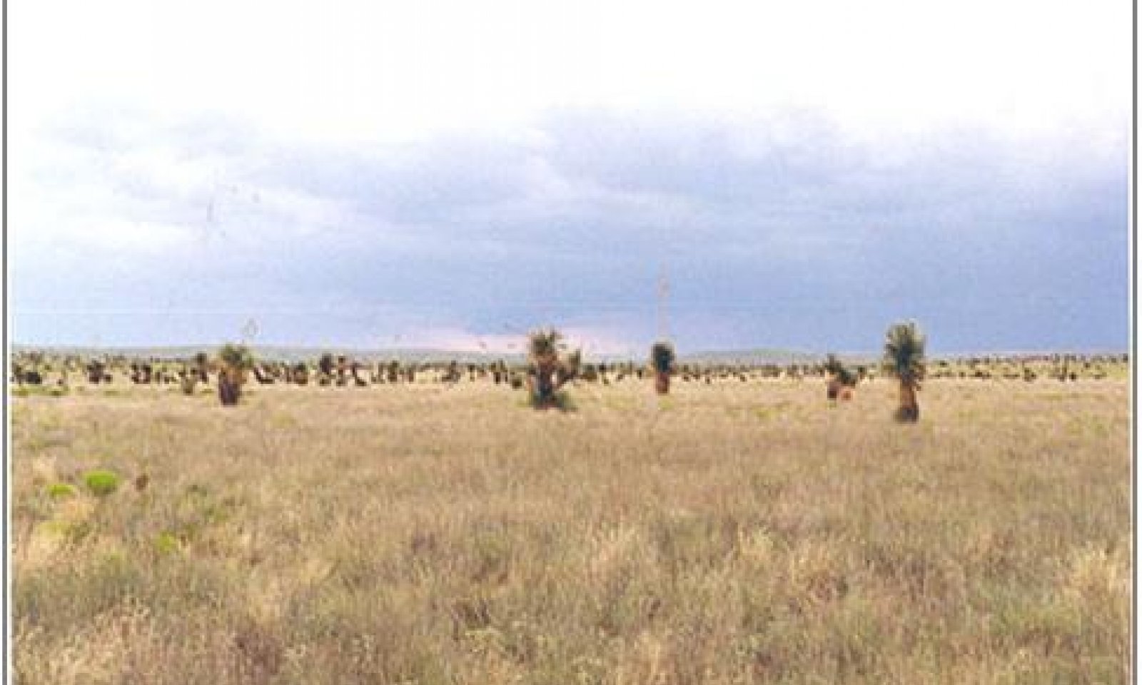
This state is currently the most common on Limy sites of SD-4. Blue grama and black grama are the dominant species, with a fair amount of sand muhly and vine mesquite distributed throughout the site. Blue grama generally has the highest production with black grama second. Forage preference can shift production in favor of black grama and vice versa depending on factors such a season of use, stocking rate, and livestock distribution. Dropseeds or threeawns species can increase in response to a decrease in grama grass cover. This decrease in cover may be climate or grazing induced. Shrubs associated with this state include winterfat, soaptree yucca, fourwing saltbush, prickly pear and cholla. Winterfat is a signature or key species of the limy site. A lack of or decrease in winterfat is usually grazing induced. Colonies of soaptree yucca appear scattered throughout the Armesa soil series of the Limy site. These groups or heavier densities of yucca may be due to slight soil differences. Broom snakeweed comes and goes in cycles, increasing following increased winter precipitation. This site is susceptible to invasion by mesquite, creosotebush and or tarbush.
Submodel
Description
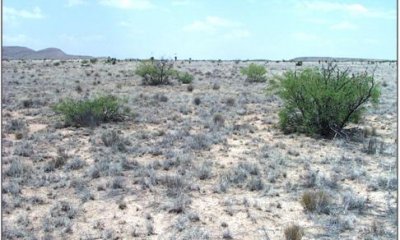
This state is characterized by the invasion of mesquite, creosotebush or tarbush. However, grasses (blue grama and black grama) are still dominant species. Shrub cover varies from just a few widely scattered individuals to approaching co-dominance with grasses. As shrub cover increases herbaceous cover correspondingly decreases, due to resource competition. The majority of mesquite-invaded sites on Armesa soils tend to originate near roads or livestock water facilities. Creosotebush and tarbush are more common on the Armesa soils when they are adjacent to gravelly, loamy or other sites already containing creosotebush or tarbush.
Submodel
Description
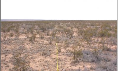
This state is characterized by the dominance of shrubs and loss of grass cover. Grass cover is minimal for the site, and seems to be lowest when dominated by creosotebush. Dropseeds and sand muhly establish readily from seed and may become the dominant grasses. Grasses form small disconnected patches scattered across the site with a few of the hardier individuals occupying otherwise bare areas between shrubs. Shrub cover is variable, but can be very dense. Shrub densities tend to increase along a gradient on some areas; on others shrub densities are fairly uniform.
Submodel
Mechanism
A reduction in grass cover may facilitate the establishment of shrub seedlings. This reduction in cover may be climate or grazing induced. Drought can reduce forage production by more than 50 percent3. Black grama cover may be reduced during extended periods of drought regardless of grazing intensity, however, increases following drought are greatest under conservative grazing2. Wildlife and livestock disperse mesquite seed. Creosotebush and tarbush seed is dispersed by wind, wildlife or road maintenance equipment. Periods of climate with above average winter precipitation and dry summers may favor shrub establishment4. Fire suppression may aid shrub seedling establishment.5
Key indicators of approach to transition:
Decrease or change in distribution of grass cover and increase in amount of bare ground.
Appearance of shrub seedlings.
Evidence of litter movement—indicating loss or redistribution of organic matter.
Formation of physical crusts—indicating loss of organic matter and decrease in soil aggregate stability and reduced infiltration.
Mechanism
Brush management is necessary to remove shrubs and increase grass cover. Allow natural revegetation. Prescribed grazing will help ensure proper forage utilization, and increase organic matter and infiltration.
Mechanism
Extended periods of above average winter precipitation may favor shrub expansion. Continued overgrazing especially when coupled with drought will severely reduce grass cover promoting increased shrub densities. Prescribed fire may be lost as a management option if insufficient grass cover remains to carry a fire. Loss of grass cover in between shrubs and increased soil surface crusts can further resource redistribution favoring shrub expansion. Erosion can transport soil organic matter and surface soil off site.
Key indicators of approach to transition:
Loss of grass cover and increased size of bare patches.
Increases in shrub cover
Increase in amount of shrub seedlings.
Erosion and soil degradation indicated by the occurrence of pedestalling, soil deposition, litter movement, and loss of surface soil (exposed sub-surface soil) 5.
Formation of rills
Mechanism
Brush control will be necessary to remove resource competition from shrubs. Pitting and seeding just prior to summer rains will help to break up physical crusts and may aid in seedling germination. Adequate precipitation following seeding is critical and the degree of soil degradation will limit the effectiveness of seedling establishment.
Model keys
Briefcase
Add ecological sites and Major Land Resource Areas to your briefcase by clicking on the briefcase (![]() ) icon wherever it occurs. Drag and drop items to reorder. Cookies are used to store briefcase items between browsing sessions. Because of this, the number of items that can be added to your briefcase is limited, and briefcase items added on one device and browser cannot be accessed from another device or browser. Users who do not wish to place cookies on their devices should not use the briefcase tool. Briefcase cookies serve no other purpose than described here and are deleted whenever browsing history is cleared.
) icon wherever it occurs. Drag and drop items to reorder. Cookies are used to store briefcase items between browsing sessions. Because of this, the number of items that can be added to your briefcase is limited, and briefcase items added on one device and browser cannot be accessed from another device or browser. Users who do not wish to place cookies on their devices should not use the briefcase tool. Briefcase cookies serve no other purpose than described here and are deleted whenever browsing history is cleared.
Ecological sites
Major Land Resource Areas
The Ecosystem Dynamics Interpretive Tool is an information system framework developed by the USDA-ARS Jornada Experimental Range, USDA Natural Resources Conservation Service, and New Mexico State University.


