
Natural Resources
Conservation Service
Ecological site F043AY538ID
Ashy Basalt Canyons and Plateaus 23-25" PZ Mesic Clearwater Canyons
Last updated: 4/11/2025
Accessed: 02/07/2026
General information
Provisional. A provisional ecological site description has undergone quality control and quality assurance review. It contains a working state and transition model and enough information to identify the ecological site.
MLRA notes
Major Land Resource Area (MLRA): 043A–Northern Rocky Mountains
Major Land Resource Area (MLRA): 043A–Northern Rocky Mountains
Description of MLRAs can be found in: United States Department of Agriculture, Natural Resources Conservation Service. 2006. Land Resource Regions and Major Land Resource Areas of the United States, the Caribbean, and the Pacific Basin. U.S. Department of Agriculture Handbook 296.
Available electronically at: http://www.nrcs.usda.gov/wps/portal/nrcs/detail/soils/ref/?cid=nrcs142p2_053624#handbook
LRU notes
Most commonly found in LRU 43A08 (Clearwater Canyons). Significant areas also found in 43A07 (Eastern Columbia Plateau Embayments). Climate parameters were obtained from PRISM and other models for the area. Landscape descriptors are derived from USGS DEM products and their derivatives.
Classification relationships
Relationship to Other Established Classifications:
United States National Vegetation Classification (2008) – A3446 Ponderosa Pine / Shrub Understory Central Rocky Mt. Forest & Woodland Alliance
Washington Natural Heritage Program. Ecosystems of Washington State, A Guide to Identification, Rocchio and Crawford, 2015 – Northern Rocky Mountain Ponderosa Pine Woodland and Savanna
Description of Ecoregions of the United States, USFS PN # 1391, 1995 - M333 Northern Rocky Mt. Forest-Steppe-Coniferous Forest-Alpine Meadow Province
Level III and IV Ecoregions of WA, US EPA, June 2010 - 15r Okanogan – Colville Xeric Valleys & Foothills and 15s Spokane Valley Outwash Plains
This ecological site includes the following USDA Forest Service Plant Associations: PIPO/SYAL, PIPO/PHMA, and PIPO/SYOR. (Williams et. al. 1995)
Ecological site concept
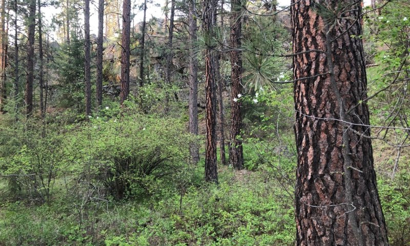
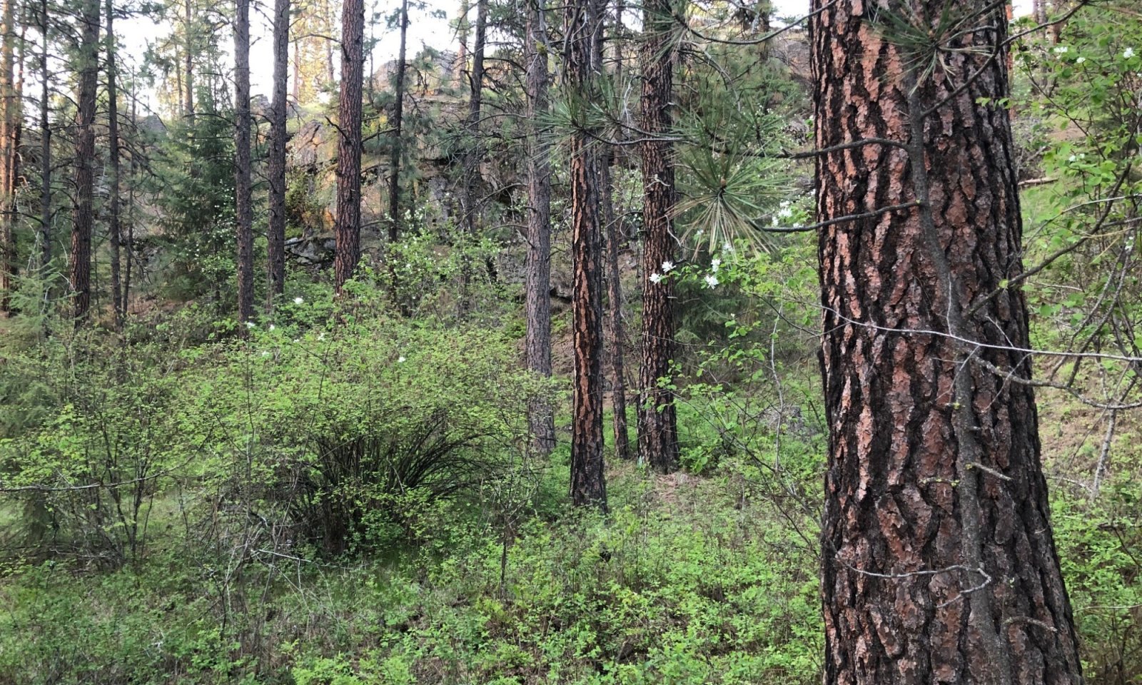
This ESD is distinguished by an overstory of ponderosa pine understory shrub component of ninebark, oceanspray, and snowberry. It occurs on canyon sides and structural benches. The soils have developed in mixed Mazama tephra deposits over loess and material from basalt. The soils are very deep, and some soils have a perched water table within 30 inches of the surface during the winter and early spring. They do not have a water table present within 30 inches of the surface during the May to Oct period. The soils are moderately well or well drained and have >3 inches of available water capacity in the top 40 inches. This ESD fits into the National Vegetation Standard’s Central Rocky Mt. Pinus ponderosa / Shrub Understory alliance.
Table 1. Dominant plant species
| Tree |
(1) Pinus ponderosa |
|---|---|
| Shrub |
(1) Symphoricarpos albus |
| Herbaceous |
(1) Calamagrostis rubescens |
Click on box and path labels to scroll to the respective text.
