Ashy over loamy-skeletal Hills and Mountains 19-24" PZ Frigid Bitterroot Metasedimentary Zone
Scenario model
Current ecosystem state
Select a state
Management practices/drivers
Select a transition or restoration pathway
- Transition T1A More details
- Transition T1B More details
- Transition T1C More details
- Restoration pathway R2A More details
- Restoration pathway R3A More details
- Restoration pathway R4A More details
-
No transition or restoration pathway between the selected states has been described
Target ecosystem state
Select a state
Description
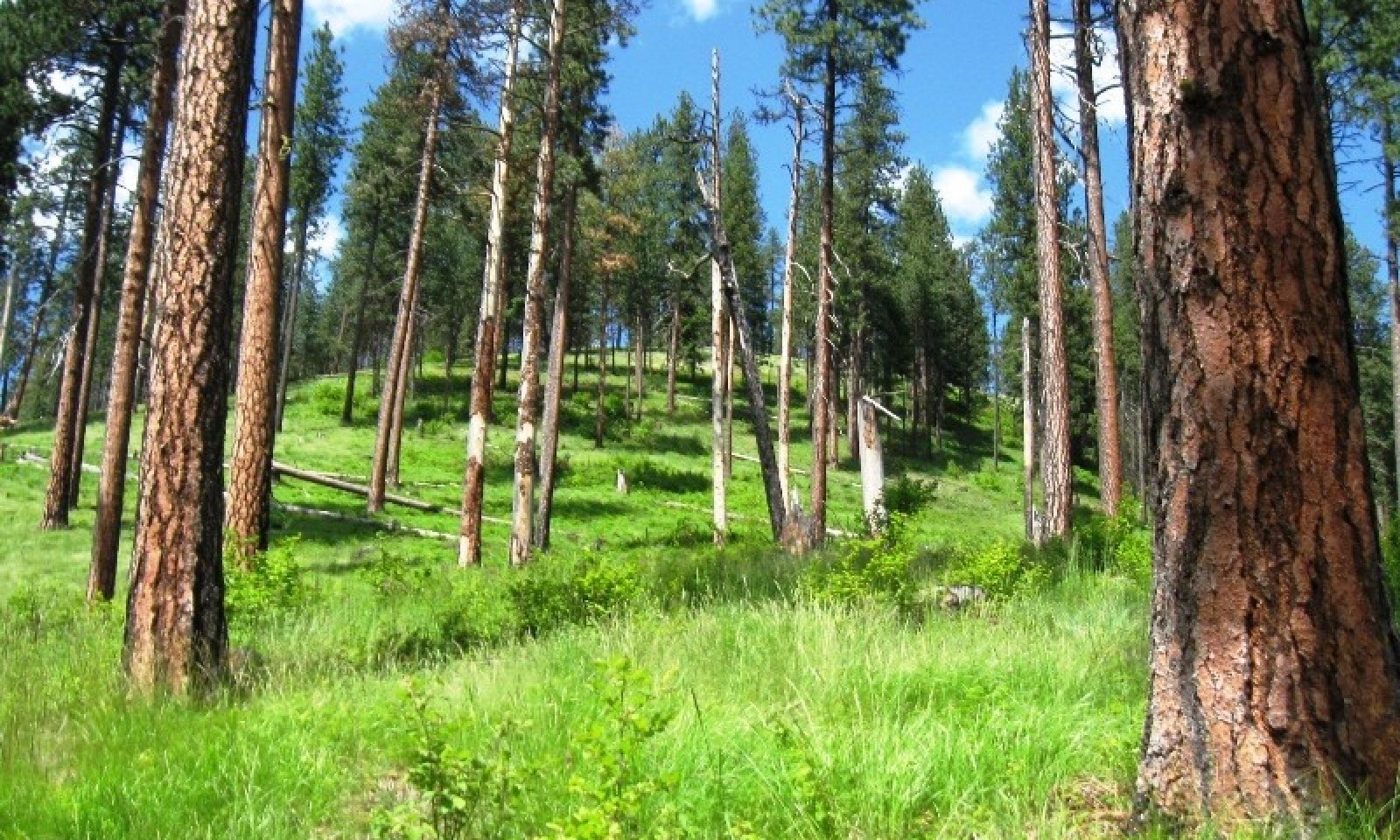
This state recognizes two forest habitat types Douglas-fir/ninebark and Douglas-fir/snowberry. They occur in close proximity and react similarly. Douglas-fir/snowberry will occur at lower landscapes and sometimes in a moister environment, snowberry being the prominent understory shrub. Ninebark and oceanspray dominate the understory of the modal Douglas-fir/ninebark habitat type. Pinegrass is the dominant grass. They occur on foothills on northern aspects at lower elevations under 3000 feet and on eastern and western aspects on mountain sides over 3000 feet. Western larch is not present on the modal soils of this state. Western larch can occur on the moister Douglas-fir/ninebark/twinflower habitat type phase and wetter Douglas-fir/snowberry sites. Wartberry fairybells and russet buffaloberry are more constant on the on the moister Douglas-fir/ninebark/twinflower site.
With frequent low severity ground fires stand develops into an open stand of mostly large ponderosa pine with scattered ponderosa pine and some Douglas-fir regeneration with shrub patches mixed with grasses, mainly pinegrass, elk sedge, and Columbia brome.
Submodel
Description
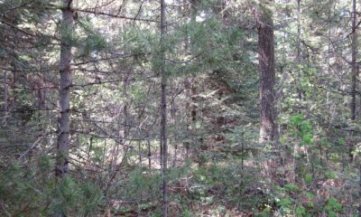
Since European settlement the fire regime has changed greatly reducing frequent low intensity ground fires that kept these forests more open, with reduced tree density more resilient to severe intensity fires. In addition, years of hygrading (harvesting largest best trees on site), overgrazing, prevalence of many roads which create fire breaks, and tree plantations has created a different forest structure. Dense multi-layered forests of Douglas-fir and ponderosa pine now exist and is homogenous on the landscape. Intensive forest management practices can reduce the risk of severe fire.
Submodel
Description
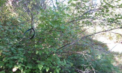
Shrub species like shiny leaf ceanothus, Scouler willow, spirea, ninebark, oceanspray thimbleberry, snowberry, chokecherry and elderberry dominate the site preventing tree establishment. Reoccurring fires keep site in shrubfield condition.
Submodel
Description
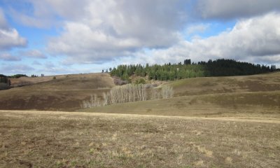
A portion of this ecological site has been converted to annual cropland or pasture. This has occurred on the lower slope foothills and valleys. Intensive tree establishment practices followed by prescribed fire once the trees are more fire resistant can lead to ecological functions of State 1.
Mechanism
Fire exclusion over long periods allowing stands to grow into homogenous multi-storied stands
Mechanism
Shrubfields caused by severe fire and soil degradation
Mechanism
Forest stands converted to cropland or pastureland
Mechanism
Forest stands restored by overstory thinning, ground and ladder fuels reduction, prescribed fire and seeding of native grasses and forbs.
Mechanism
Careful selection of sites to determine if tree planting success is warranted.
Model keys
Briefcase
Add ecological sites and Major Land Resource Areas to your briefcase by clicking on the briefcase (![]() ) icon wherever it occurs. Drag and drop items to reorder. Cookies are used to store briefcase items between browsing sessions. Because of this, the number of items that can be added to your briefcase is limited, and briefcase items added on one device and browser cannot be accessed from another device or browser. Users who do not wish to place cookies on their devices should not use the briefcase tool. Briefcase cookies serve no other purpose than described here and are deleted whenever browsing history is cleared.
) icon wherever it occurs. Drag and drop items to reorder. Cookies are used to store briefcase items between browsing sessions. Because of this, the number of items that can be added to your briefcase is limited, and briefcase items added on one device and browser cannot be accessed from another device or browser. Users who do not wish to place cookies on their devices should not use the briefcase tool. Briefcase cookies serve no other purpose than described here and are deleted whenever browsing history is cleared.
Ecological sites
Major Land Resource Areas
The Ecosystem Dynamics Interpretive Tool is an information system framework developed by the USDA-ARS Jornada Experimental Range, USDA Natural Resources Conservation Service, and New Mexico State University.


