
Natural Resources
Conservation Service
Ecological site EX043B15J952
Subalpine Windswept Shallow Meadow 25-30" PZ Cryic Northern Rocky Mountain Front
Last updated: 4/07/2025
Accessed: 02/11/2026
General information
Provisional. A provisional ecological site description has undergone quality control and quality assurance review. It contains a working state and transition model and enough information to identify the ecological site.
MLRA notes
Major Land Resource Area (MLRA): 043B–Central Rocky Mountains
This ecological site currently resides in the Major Land Resource Area (MLRA) 43B Central Rocky Mountains. The area of MLRA 43B is expansive and is further divided into Land Resource Units (LRU). This ecological site resides in LRU A – Northern Rocky Mountain Front. A detailed description of MLRA 43B can be found at: https://www.nrcs.usda.gov/wps/portal/nrcs/detail/soils/ref/?cid=nrcs142p2_053624
LRU notes
The landscape is mountains and the landforms include scarp slopes, dip slopes, mountain slopes, drainageways, bog, cirque, U-shaped valley and associated moraine and outwash features. Elevations range 1,000 to 3,175 meters (3,300 to 10,500 feet) (mean elevation is 1,900 m. or 6,200 ft.). The climate is cold and wet with mean annual precipitation of 1,050 mm (41 in.) and mean annual air temperature of 3 degrees Celsius (37 degrees F) with a soil temperature regime of cryic and soil moisture regime of udic or ustic. The geology of the area is dominated by Appenkunny and Grinnell argillite, Kootenai formation, Tertiary sedimentary rocks, Missoula group quartzite, glacial drift alluvium, Siyeh limestone and undifferentiated rock. The soils are dominantly moderately deep to very deep that formed from a variety of sedimentary rock parent materials on moderately steep to very steep mountain slopes. Soils fall into three soil orders: Inceptisols, Mollisols, and Alfisols. Most soils are loamy-skeletal and many, especially in the eastern part, contain significant amounts of calcium carbonate influencing both physical and chemical soil characteristics (horizons of calcium carbonate accumulation and corresponding alkaline pH values). Rock outcrop, rubble land, and surface rock fragments are common. There are few lakes but has numerous major drainages including Dearborn, Sun, Teton, Birch, Badger, Two Medicine, St. Maries, South and Middle Fork Flathead headwaters, Blackfoot headwaters. This is a snow dominated system. Wind is a major force shaping climatic patterns and vegetation structure. This area includes forested areas dominated by either Douglas fir, subalpine fir or white bark pine, and range areas dominated by rough fescue, Richardson’s needlegrass and bluebunch wheatgrass and assorted forbs.
This is related to the EPA land classification framework of: Level 3- 41 Canadian Rockies. Specifically, it includes Level 4-41a Northern Front.
This area is related predominantly to the USFS Provinces M333Cf Northern Rocky Mountain Front.
Classification relationships
NPS Plant Community Name: Arctostaphylos uva-ursi /festuca campestris-Fesctuca idahoensis Dwarf-shrubland (CEGL005830).
Physiognomic Class Dwarf-shrubland (IV)
Physiognomic Subclass Evergreen dwarf-shrubland (IV.A.)
Physiognomic Group Needle-leaved or microphyllous evergreen dwarf-shrubland (IV.A.1.)
Physiognomic Subgroup Natural/Semi-natural needle-leaved or microphyllous evergreen dwarf-shrubland (IV.A.1.N.)
Formation Creeping or matted needle-leaved or microphyllous evergreen dwarf-shrubland (IV.A.1.N.b.)
Alliance Arctostaphylos uva-ursi/Festuca campestris-Festuca idahoensis Dwarf-shrubland (A.1079)
Alliance (English name) Kinikinnick or Bearberry Dwarf-shrubland Alliance
Association Arctostaphylos uva-ursi/Festuca campestris-Festuca idahoensis Dwarf-shrubland
Assosciation (English name) Bearberry or Kinikinnick /Rough fescue-Idaho Fescue Dwarf-shrubland
Damm Braun-Blanquet-type classification= Solidagini multiradiatae-Arctostaphyletum uva-ursi Association and Zigadeno elegantis-Caricetum scirpoideae.
Ecological site concept
Ecological Site Concept
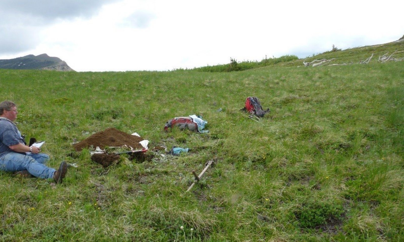
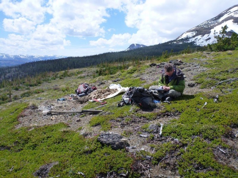
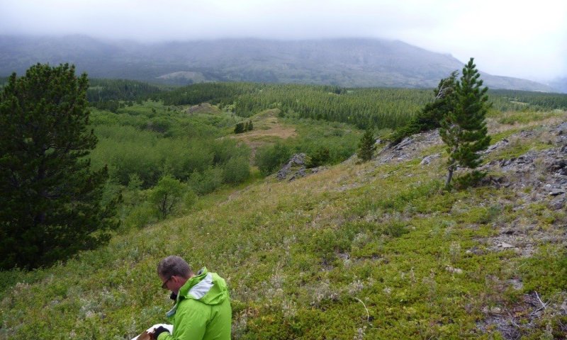
This ecological site occurs in the subalpine at elevations ranging 1,700 to 2,300 meters (5,575 to 7,550 feet), on moderately sloping (15 to 35 percent) backslope positions on knobs, ridges and slopes on mountain slopes, mainly on southeasterly aspects. This ecological site is found in small patches rather than large, broad expanses. In their vegetation map, the NPS associated this site with dry environments, that were mostly convex high elevation wind-battered sites that were hypothesized to be swept snow free by prevailing westerlies and sites not directly exposed could be impacted by eddy currents that redistribute the snowpack (NatureServe, 2007). These areas would not have the wind protection that a thick snow layer affords, nor would they have the additional water in spring from snow melt. Other areas that can have this ecological site include dipping bed landforms, shelf areas and structural benches. Specifically, this ecological site is found in the Marias Pass area. This ecological site is defined as having high cover of kinnickinick (arctostaphylos uva-ursi) and rough fescue (festuca campestris). The other constant associated species include the montane species: yarrow, rosy pussytoes, bluebell bellflower, northern bedstraw, common juniper and rose. Infrequent but moderate cover when occurring species include: pinegrass, shrubby cinquefoil, sulphur-flower buchwheat. This is a moderate statured dwarf-shrub and grassland. The soils of this ecological site are well drained and shallow to bedrock. Soil parent materials are colluvium or till over metasedimentary bedrock residuum. Surface textures are typically very gravelly having 35 to 60 percent gravel. Subsurface textures also contain greater than 35 percent rock fragments, are loamy causing these soils fall into the loamy-skeletal particle-size family. A very thin layer (0 to 5 cm) or no organic material is typically present at the soil surface. There are no water table, ponding, flooding or redoximorphic features in these soils. Due to the shallow depth of the soil profile the water-holding capacity of these soils is very limited and the soils will dry down rapidly between precipitation events during extended dry periods. These soils classified in the soil order of Inceptisols, which in soil formation terms means that the soils are characterized as having weak development of diagnostic features. Specifically, these soils are of the taxonomic subgroup Lithic Haplocryepts. Diagnostic soil features include an ochric epipedon (light colored surface), a cambic horizon (weakly developed subsurface horizon), and a lithic bedrock contact.
Associated sites
| EX043B15I954 |
Montane Very Deep Meadow 20-24" PZ Cryic Northern Rocky Mountain Front This 43B Montane Very Deep Meadow ecological site is found in the montane zone, with an elevation range of 1,400-2,000 meters (4,600-6,500 feet.), on backslope positions with moderate slopes of 4-15 percent and southwesterly aspects on marginal ground moraines and complex landslides on lateral moraines. Infrequently, this site is found on alluvial fans, hogbacks, knobs, ledges and knolls. These are large patch sized meadows. The 43B Montane Very Deep Meadow ecological site has soils that are predominantly very deep and well drained. Surface textures are typically gravelly loam and subsurface layers fall into the fine-loamy particle-size family. These soils are classified in the Mollisols soil order having a thick dark surface with significant enrichment of organic matter and high base saturation. The 43B Montane Very Deep Meadow ecological site has a reference community of Rough fescue (Festuca campestris), shrubby cinquefoil (Dasiphora fruticosa), Idaho fescue (Festuca idahoensis), yarrow (Achillea millefolia), northern bedstraw (Galium boreale) and Ross’s sedge (Carex rossii). |
|---|
Similar sites
| EX043B15I954 |
Montane Very Deep Meadow 20-24" PZ Cryic Northern Rocky Mountain Front These sites are similar in that the reference communities share the same species, though in different abundance, in that native perennial bunchgrasses dominate in the very deep meadow and kinnikinnick and rough fescue can dominate in the windswept shallow meadow due to high winds and shallow soil depth. |
|---|
Table 1. Dominant plant species
| Tree |
Not specified |
|---|---|
| Shrub |
(1) Arctostaphylos uva-ursi |
| Herbaceous |
(1) Festuca campestris |
Legacy ID
R043BX952MT
Click on box and path labels to scroll to the respective text.
Ecosystem states
| T1A | - | The introduction and establishment of weedy species, even at very low canopy cover values. |
|---|---|---|
| T2A | - | Weed infestation from human, animal, or transportation corridors that allow non-native species to invade and establish within the grassland to the degree that native grass species decline. |
| R3A | - | Proper grazing management that allows the cover and vigor of native bunchgrass, particularly rough fescue, to be restored. Other means such as chemical, mechanical, or biological may be needed to restore native bunchgrass species to dominance. |
State 1 submodel, plant communities
| 1.1A | - | A Significant time without fire, so that the historical fire return interval is lengthened and shrub and conifer species invade. |
|---|---|---|
| 1.2A | - | A resumption of historic fire return intervals, so that woody shrub and conifer encroachments are suppressed, and grasslands are sustained. |
State 2 submodel, plant communities
| 2.1A | - | Heavy grazing or improper grazing management for sustained periods of time. |
|---|---|---|
| 2.1B | - | significant time without fire |
| 2.2A | - | A ceasing of heavy grazing or improper grazing management for sustained periods of time. |
| 2.3A | - | A resumption of historic fire return intervals, so that woody shrub and conifer encroachments are suppressed, and grasslands are sustained. |
State 3 submodel, plant communities
| 3.1A | - | Significant time without fire, so that the historical fire return interval is lengthened and shrub species invade. |
|---|---|---|
| 3.2A | - | Resumption of historic fire return intervals, so that woody shrub and conifer encroachments are suppressed, and grasslands are sustained. |


