
Natural Resources
Conservation Service
Ecological site EX043B15Z955
Montane Subirrigated Meadow Cryic Northern Rocky Mountain Front
Last updated: 3/11/2025
Accessed: 02/11/2026
General information
Provisional. A provisional ecological site description has undergone quality control and quality assurance review. It contains a working state and transition model and enough information to identify the ecological site.
MLRA notes
Major Land Resource Area (MLRA): 043B–Central Rocky Mountains
This ecological site currently resides in the Major Land Resource Area (MLRA) 43B Central Rocky Mountains. The area of MLRA 43B is expansive and is further divided into Land Resource Units (LRU). A detailed description of MLRA 43B can be found at: https://www.nrcs.usda.gov/wps/portal/nrcs/detail/soils/ref/?cid=nrcs142p2_053624
This ecological site resides within the eastern portion of Glacier National Park which resides in MLRA 43B and LRU A – Northern Rocky Mountain Front.
LRU notes
This ecological site resides within the eastern portion of Glacier National Park which resides in MLRA 43B and LRU A – Northern Rocky Mountain Front.
The landscape is mountains and the landforms include scarp slopes, dip slopes, mountain slopes, drainageways, bog, cirque, U-shaped valley and associated moraine and outwash features. Elevations range 1,000-3,175 meters (3,300-10,500 feet) (mean elevation is 1,900 m. or 6,200 ft.). The climate is cold and wet with mean annual precipitation of 1,050 mm (41 in.) and mean annual air temperature of 3 degrees C. (37 degrees F.) with a soil temperature regime of cryic and soil moisture regime of udic or ustic. The geology of the area is dominated by Appenkunny and Grinnell argillite, Kootenai formation, Tertiary sedimentary rocks, Missoula group quartzite, glacial drift alluvium, Siyeh limestone and undifferentiated rock. The soils are dominantly moderately deep to very deep that formed from a variety of sedimentary rock parent materials on moderately steep to very steep mountain slopes. Soils fall into three soil orders: Inceptisols, Mollisols, and Alfisols. Most soils are loamy-skeletal and many, especially in the eastern part, contain significant amounts of calcium carbonate influencing both physical and chemical soil characteristics (horizons of calcium carbonate accumulation and corresponding alkaline pH values). Rock outcrop, rubble land, and surface rock fragments are common. There are few lakes but has numerous major drainages including Dearborn, Sun, Teton, Birch, Badger, Two Medicine, St. Maries, South and Middle Fork Flathead headwaters, Blackfoot headwaters. This is a snow dominated system. Wind is a major force shaping climatic patterns and vegetation structure. This area includes forested areas dominated by either Douglas fir, subalpine fir or white bark pine, and range areas dominated by rough fescue, Richardson’s needlegrass and bluebunch wheatgrass and assorted forbs.
This is related to the EPA land classification framework of: Level 3- 41 Canadian Rockies. Specifically, it includes Level 4-41a Northern Front.
This area is related predominantly to the USFS Provinces M333Cf Northern Rocky Mountain Front.
Ecological site concept
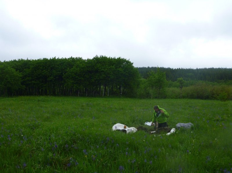
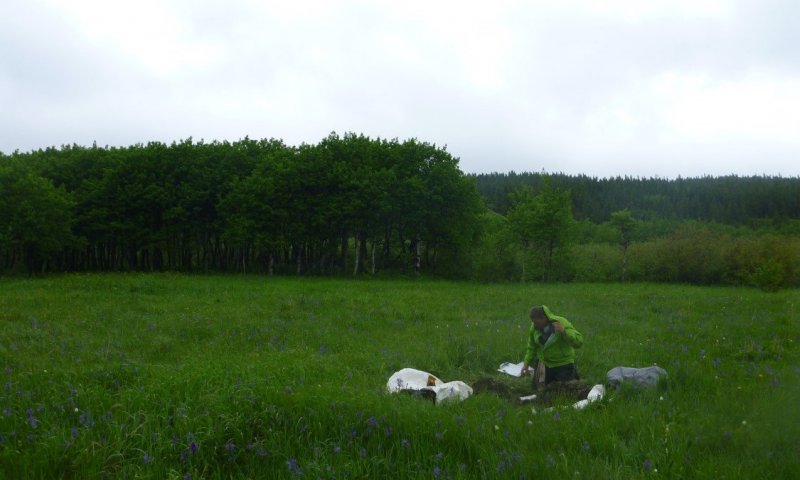
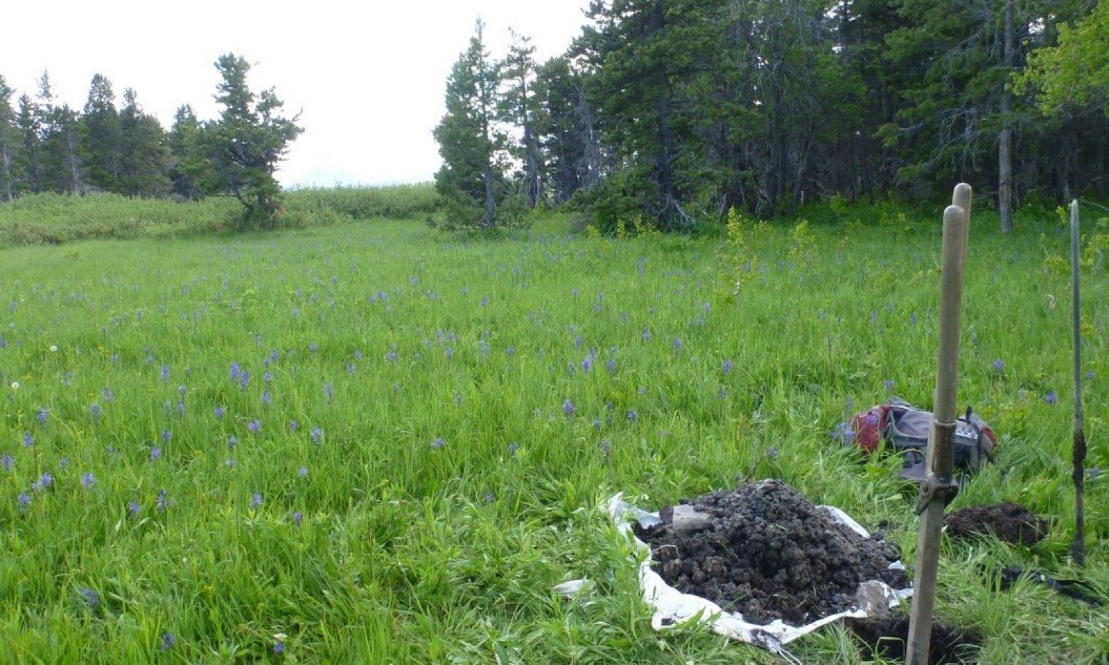
This ecological site is found in the montane, at elevations ranging 1500-1600m, 4921 - 5249 ft, on toeslope or backslope positions of ground moraines or alluvial fans. The climate has a total precipitation range of 24 to 25 inches and a frost-free period of 44 days. This ecological site is found in the cryic soil temperature regime and the udic soil moisture regime. This site relates to the Cowardin System as Palustrine N/A Emergent.
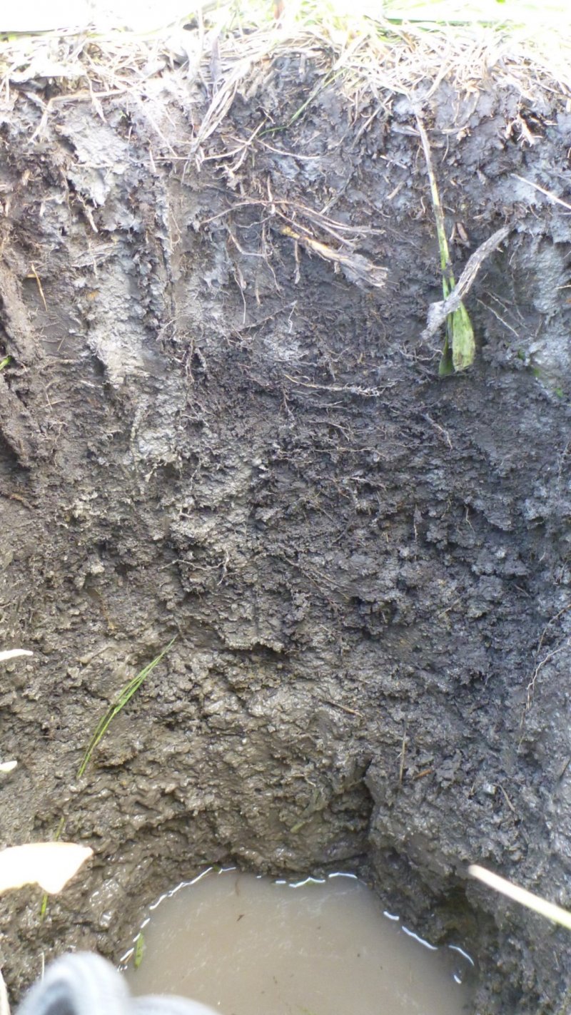
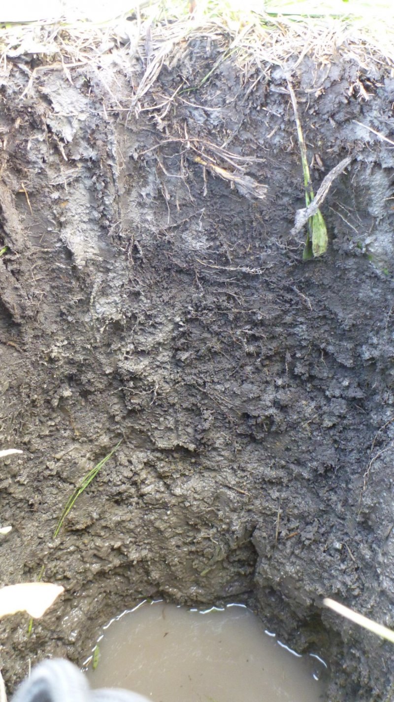
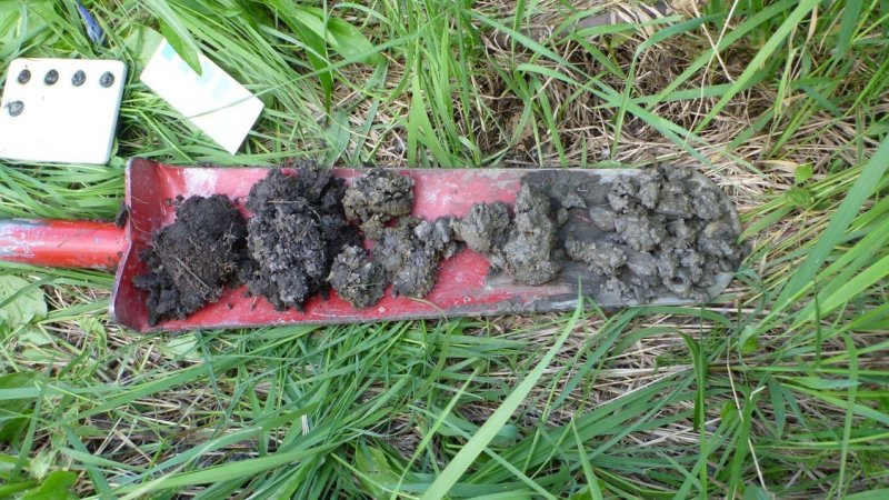
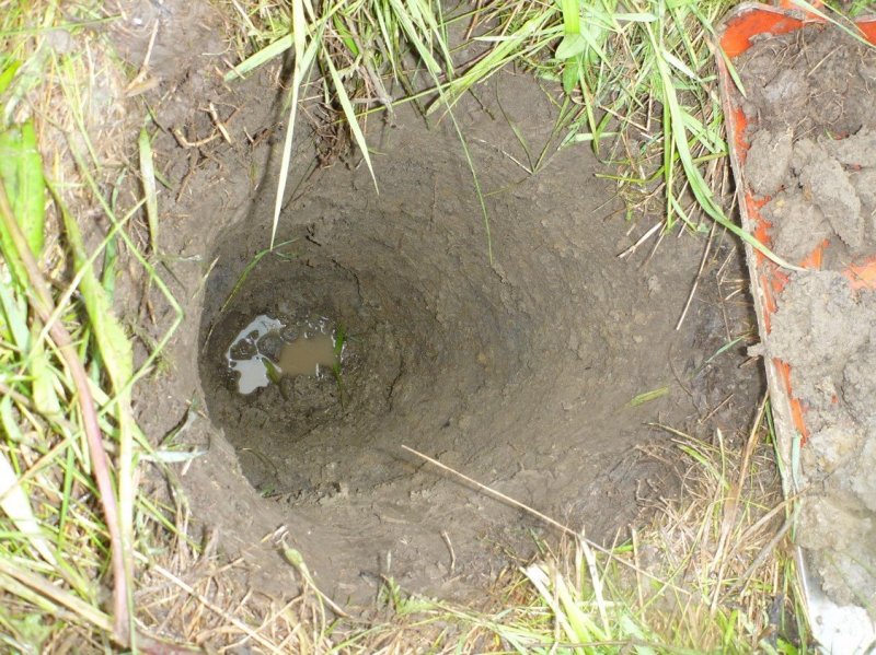
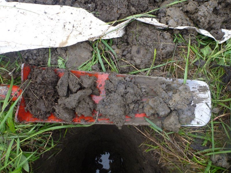
The soils associated with this ecological site are mollisols that can range from very poorly drained to moderately well drained. These are very deep soils, the texture is fine or fine-silty and the parent material is alluvium. There are no redoximorphic features noted probably due to the dark colors of the mollic layer masking them, no ash present, no organic layer, and the argillic layer is 16-90 cm thick, and the mollic layer is 0-10 cm thick. The water table is 20-40 inches from the surface. These soils can be seasonally moist to saturated in the spring, but dry out later in the growing season.
This vegetation community is medium statured, generally less than 25 inches tall and includes a diverse assemblage of grass and forb species. The reference community includes: ebony sedge (Carex ebenea), fowl mannagrass (Glyceria striata), Nebraska sedge (Carex nebrascensis), shortawn foxtail (Alopecurus aequalis), mountain rush (Juncus arcticus ssp. Littoralis), clustered field sedge (Carex praegracilis), reed canarygrass (Phalaris arundinacea), small camas (Camassia quamash) and Lyall’s angelica (Angelica arguta). Plant species are equally split between those that have a wetland affinity (designated Obligate (always occurs in wetlands) or FACW (usually occur in wetlands)) and those that have an upland affinity (designated FAC (occur in wetlands and non-wetlands) or FACU (usually occur in non-wetlands)). These wet meadows are subirrigated and have a water table between 20-40 inches below the surface. In spring, these areas may be saturated or flooded. Species are adapted to these wet conditions in the early growing season, which dry later in the growing season. The natural disturbances include fire and wildlife grazing. It is tolerant to moderate intensity ground fires and late-season livestock grazing. Intensive grazing can lead to invasion by non-native species including: Kentucky bluegrass (Poa pratensis), smooth brome (Bromus inermis), timothy (Phleum pratense), and common dandelion (Taraxacum officinale). This degraded state can lead to noxious species occurring which are highly invasive and pose a real threat to the structure and diversity of this meadow.
Associated sites
| EX043B15I954 |
Montane Very Deep Meadow 20-24" PZ Cryic Northern Rocky Mountain Front These sites are associated in that they both reside on the ground moraines and alluvial fans east of the Continental Divide within Glacier National Park. The 43B MONTANE VERY DEEP MEADOW is in areas with drier, loamy soils and the 43B MONTANE SUBIRRIGATED MEADOW is in lower areas with subirrigated water, seasonally moist to saturated in the spring, but dry out later in the growing season. |
|---|
Table 1. Dominant plant species
| Tree |
Not specified |
|---|---|
| Shrub |
Not specified |
| Herbaceous |
(1) Carex ebenea |
Legacy ID
R043BX955MT
Click on box and path labels to scroll to the respective text.
