Cold Dry Subalpine Grasslands (FEVI)
Scenario model
Current ecosystem state
Select a state
Management practices/drivers
Select a transition or restoration pathway
-
Transition T1A
Sustained overutilization by ungulates
More details -
Transition T2A
Further sustained overutilization and improperly managed grazing
More details -
Restoration pathway R3A
Sustained rest from grazing or dramatic reductions in ungulate stocking rate, duration or grazing intensity, potentially coupled with reseeding with native species and erosion control structures
More details -
No transition or restoration pathway between the selected states has been described
Target ecosystem state
Select a state
Description
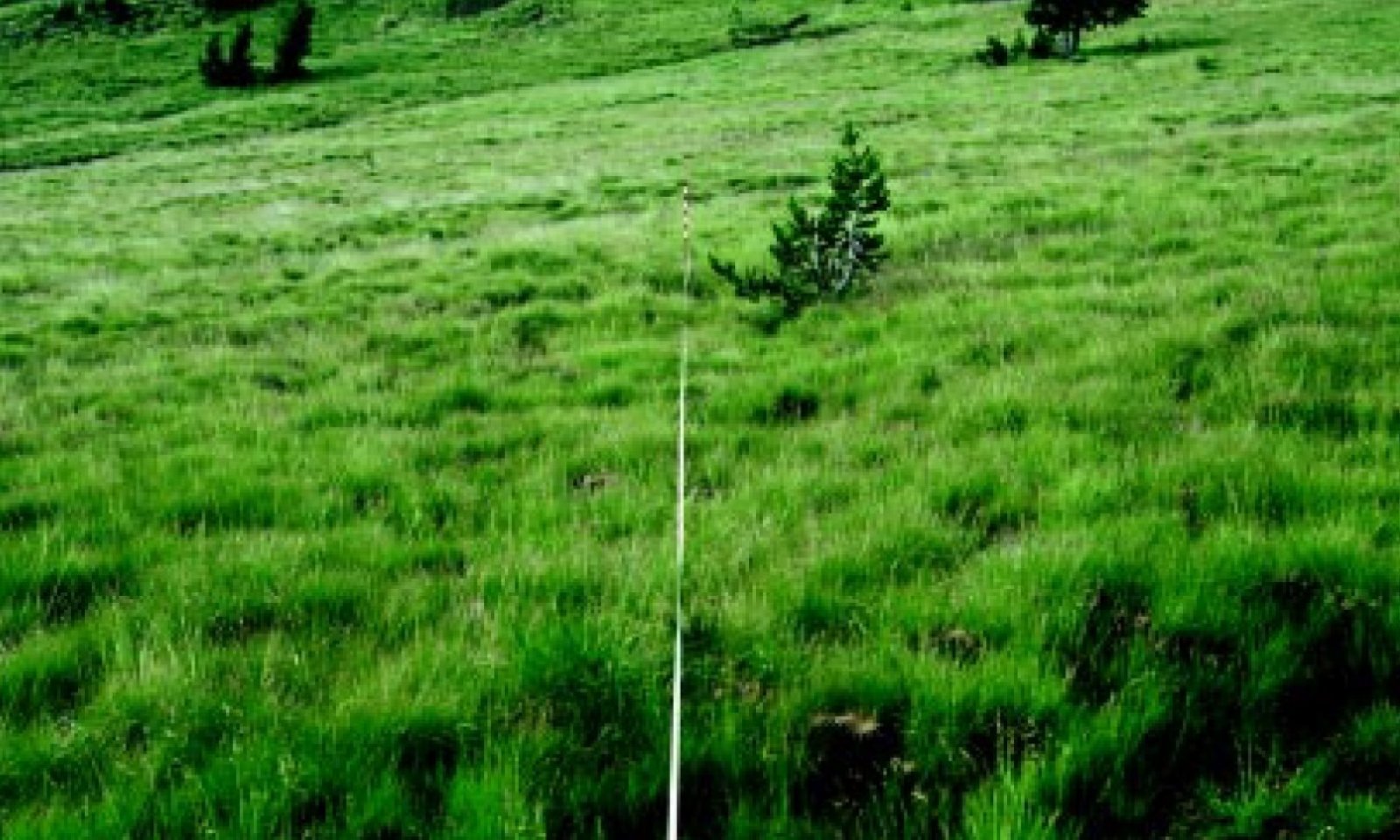
Green fescue strongly dominates the community in the reference state often forming a nearly forb-free continuous sod mat with interspaces consisting of litter. Other graminoides also include western needlegrass (Achnatherum occidentale), Hood's sedge (Carex hoodii), and Ross' sedge (Carex rosii) and Parry's rush (Juncus parryi). A diverse array of perennial forbs may occur in minor amounts with common members including lupines (Lupinus spp.), common yarrow (Achillea millefolium), penstemons (Penstemon spp.), buckwheats (Erioganum spp.), and prickly sandwort (Arenaria aculeata). Variability in plant composition and productivity is dependent on aspect, soil depth and duration of ephemeral subsurface flows. Bare ground, plant productivity and composition is influenced by climate cycles, ungulate use and rodent burrowing.
Submodel
Description
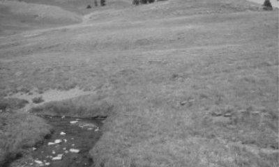
This follows long term recovery from chronic overutilization of the site by ungulates. The state mirrors the reference plant community yet some soil resources have been lost to erosion, mild hummocky topography may persist and plant community composition may be altered. Plant communities will likely host a greater composition of forbs and shallow-rooted graminoids with a reduction in greenleaf fescue. Long term documented evidence shows that on badly eroded sites (alternative state 3) with little topsoil left, green fescue will be present only as sparsely scattered plants even after 50 years of protection. If the site is not eroded and green fescue remnants are present the site may recover in as little as 20 years (Johnson 2003).
Description
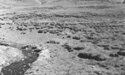
Following sustained chronic overutilization, overstocking and improperly managed grazing, loss of continuous greenleaf fescue sod occurs and widespread erosion follows. Litter is decreased, and soil is displaced and lost from the site. These conditions set the stage for the generation of pedestals and hummocks where vegetation is able to hold on to some of the soil resource and eroded interspaces where erosion pavement forms. This eroded pavement is characterized by surface rock fragments and hosts a plant community mostly absent of greenleaf fescue and replaced by forbs and graminoids that can tolerate the shallower soil and coarse surface texture. These species may include Letterman's needlegrass, Ross' sedge, pussytoes, prickly sandwort, buckwheat and penstemons. Rushes, poke knotweed, coneflower and other forbs increase on remnant pedestals.
Mechanism
Sustained overutilization by ungulates leading to a reduction in vegetative cover, alterations of plant community composition, increases in bare ground and loss of some soil by erosion.
Mechanism
Further overutilization and improperly managed grazing, often by large sheep herds, will increase bare ground, decrease vegetative and litter cover and lead to widespread erosion and the creation of pedestals and deflation depressions.
Mechanism
Sustained rest from grazing or dramatic reductions in ungulate stocking rate, duration or grazing intensity. Research has demonstrated that 30 - 50 years of improved management may return the site to a current potential state (Johnson 2003). If the plant communities have been further degraded and seed banks have been severely depleted, reseeding with native species and erosion control structures may be required but will be limited by topography, access and sites conditions.
Model keys
Briefcase
Add ecological sites and Major Land Resource Areas to your briefcase by clicking on the briefcase (![]() ) icon wherever it occurs. Drag and drop items to reorder. Cookies are used to store briefcase items between browsing sessions. Because of this, the number of items that can be added to your briefcase is limited, and briefcase items added on one device and browser cannot be accessed from another device or browser. Users who do not wish to place cookies on their devices should not use the briefcase tool. Briefcase cookies serve no other purpose than described here and are deleted whenever browsing history is cleared.
) icon wherever it occurs. Drag and drop items to reorder. Cookies are used to store briefcase items between browsing sessions. Because of this, the number of items that can be added to your briefcase is limited, and briefcase items added on one device and browser cannot be accessed from another device or browser. Users who do not wish to place cookies on their devices should not use the briefcase tool. Briefcase cookies serve no other purpose than described here and are deleted whenever browsing history is cleared.
Ecological sites
Major Land Resource Areas
The Ecosystem Dynamics Interpretive Tool is an information system framework developed by the USDA-ARS Jornada Experimental Range, USDA Natural Resources Conservation Service, and New Mexico State University.


