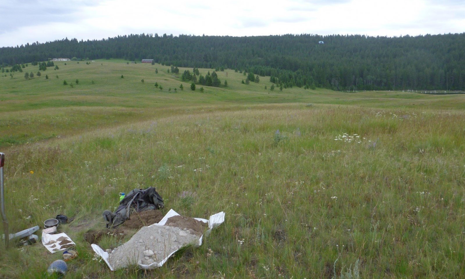
Droughty Seeley, Swan, Flathead and Tobacco Valleys
Scenario model
Current ecosystem state
Select a state
Management practices/drivers
Select a transition or restoration pathway
- Transition T1A More details
- Transition T1B More details
- Restoration pathway R2A More details
- Transition T2A More details
- Restoration pathway R3A More details
- Restoration pathway R3B More details
-
No transition or restoration pathway between the selected states has been described
Target ecosystem state
Select a state
State 1
Reference State - Taller Bunchgrass State


Description
This state is characterized by cool-season bunchgrasses and is represented by two communities that differ mainly in the percent composition rough fescue and Idaho fescue (Festuca idahoensis) and bluebunch wheatgrass. Shrubs and forbs are a minor component in this state.
Submodel
Description
This state is characterized by having < 10% rough fescue and < 50% canopy cover. State 2 is represented by two communities that differ in the percent composition of Idaho fescue, production, and soil degradation. Production in this state is considerably lower than in the Taller Bunchgrass State (1). Some native plants tend to increase under prolonged drought and/or heavy grazing practices. A few of these species include Idaho fescue, needleandthread, Sandberg bluegrass, silky lupine, field chickweed, ballhead sandwort, common snowberry, Wood’s rose and fringed sagewort.
Submodel
Description
The Invaded State (3) is characterized by > 25% of invasive species: spotted knapweed, leafy spurge, sulphur cinquefoil, and/or cheatgrass are the dominant invasive species in MLRA 44A. Introduced exotic plant species have been identified as one of the greatest threats to the integrity and productivity of native rangeland ecosystems and conservation of indigenous biodiversity (DiTomaso 2000; Mack et al. 2000). In addition to environmental consequences, damages caused and costs incurred to control invasive plants are several billion dollars each year in the United States (Pimentel et al. 2000).
Submodel
Mechanism
R3A Weed Management, Proper Grazing Management, Range Seeding
Model keys
Briefcase
Add ecological sites and Major Land Resource Areas to your briefcase by clicking on the briefcase (![]() ) icon wherever it occurs. Drag and drop items to reorder. Cookies are used to store briefcase items between browsing sessions. Because of this, the number of items that can be added to your briefcase is limited, and briefcase items added on one device and browser cannot be accessed from another device or browser. Users who do not wish to place cookies on their devices should not use the briefcase tool. Briefcase cookies serve no other purpose than described here and are deleted whenever browsing history is cleared.
) icon wherever it occurs. Drag and drop items to reorder. Cookies are used to store briefcase items between browsing sessions. Because of this, the number of items that can be added to your briefcase is limited, and briefcase items added on one device and browser cannot be accessed from another device or browser. Users who do not wish to place cookies on their devices should not use the briefcase tool. Briefcase cookies serve no other purpose than described here and are deleted whenever browsing history is cleared.
Ecological sites
Major Land Resource Areas
The Ecosystem Dynamics Interpretive Tool is an information system framework developed by the USDA-ARS Jornada Experimental Range, USDA Natural Resources Conservation Service, and New Mexico State University.
