Major Land Resource Area 048B
Southern Rocky Mountain Parks and Valleys
Accessed: 04/06/2026
Description
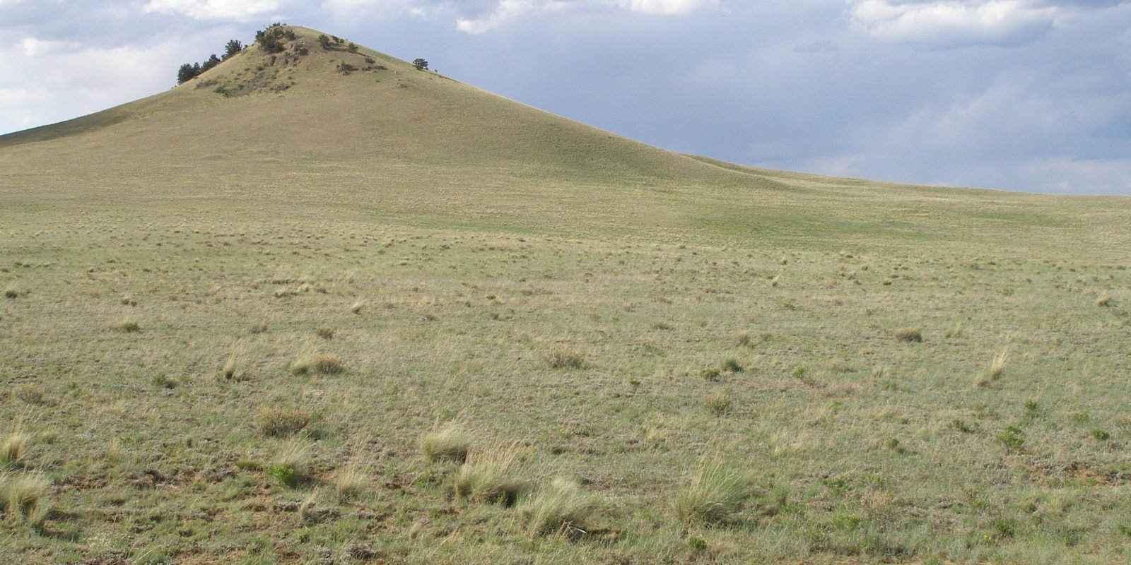
This area is in Colorado (96 percent) and Wyoming (4 percent). It makes up about 2,325 square miles (6,020 square kilometers). The town of Walden, in the northern part of this MLRA, is in a wide valley locally known as North Park. The town of Kremmling is in a valley locally known as Middle Park. The town of Hartsel, in the center of the southern part of the MLRA, is in a broad intermontane basin locally known as South Park. The northern part is bordered by the Medicine Bow, Routt, and Arapaho National Forests, and the southern part is bordered by the San Isabel and Pike National Forests. The Arapaho National Wildlife Refuge is directly south of the town of Walden. This area is within the Southern Rocky Mountains Province of the Rocky Mountain System. It consists of nearly level to rolling mountain parks and valleys and a few narrow mountain ridges. It occurs as two separate parts in the center of the Southern Rockies. The southern half of the northern part is on the west side of the Continental Divide, and the rest of the MLRA is on the east side of the divide. Elevation ranges from 7,850 to 10,850 feet (2,395 to 3,310 meters). The head waters of North Platte River leaves Colorado and enters Wyoming in the northern half of the northern part of the MLRA (North Park). The headwaters of Colorado River is in the southern half of the northern part of the MLRA (Middle Park). The headwaters of South Platte River is in the southern part of the MLRA (South Park). The mountain valleys and parks that are characteristic of this MLRA are surrounded by high mountain peaks of the adjacent Southern Rocky Mountains MLRA (48A). Steep slopes give rise to steep-gradient streams that can move cobbles and gravel from the mountain slopes down into the valleys. The coarse textured sediments on the surface of this area were deposited by either glacial meltwater or present-day rivers. Buried deep beneath the sediments is a complex of sedimentary and igneous rocks. Residuum from sedimentary rocks is on the steeper slopes that were not covered by alluvium and glacial outwash. The average annual precipitation is mainly 10 to 16 inches (255 to 405 millimeters), but it is as high as 28 inches (710 millimeters) at the higher elevations that border the Southern Rocky Mountains MLRA. Precipitation generally increases with elevation. Rainfall occurs as high-intensity, convective thunderstorms during the growing season. About half of the annual precipitation falls as snow. Soil moisture is unevenly distributed within short distances because of snowdrifts. The amount of precipitation is highly influenced by rain shadows. The surrounding peaks receive most of the precipitation as storm systems traverse the area. The average annual temperature is 35 to 42 degrees F (1 to 6 degrees C). The freeze-free period averages 95 days and ranges from 70 to 120 days, decreasing in length with elevation. The dominant soil order in this MLRA is Mollisols. Alfisols are of lesser extent. The soils are very shallow to deep, generally well drained, and loamy or clayey and have mixed or smectitic mineralogy. The soil temperature regime is dominantly cryic, but it is frigid in some small areas, primarily on south- or west-facing slopes. The soil moisture regime is mainly ustic, but a marginal aridic regime has been identified in areas where the average annual precipitation is less than about 12 inches (305 millimeters). The most extensive great group is Argicryolls (Hodden, Lucky, Parlin, Tiagos, and Cabin series), which commonly formed in outwash and slope alluvium on outwash terraces, fan remnants, hills, and mountain slopes. Haplocryolls (Redcloud and Tealson series) formed in outwash and slope alluvium on outwash terraces, valley side slopes, hills, and ridges. Haplocryalfs (Gebson and Harsha series) formed in slope alluvium and outwash on outwash terraces, fan remnants, hills, ridges, and mountain slopes. Cryaquolls (Dobrow and Randman series) formed in alluvium on stream terraces and flood plains.
Key publications
Next steps
-
1
Select an ecological site
Select an ecological site using the list, keys, photos, briefcase, or quick search option located on this page. -
2
Explore the ecological site description
Next, learn more about the selected ecological site and its characteristic dynamics by browsing the ecological site description and exploring alternative state and transition model formats.