Salt Meadow
Scenario model
Current ecosystem state
Select a state
Management practices/drivers
Select a transition or restoration pathway
- Transition T1A More details
- Transition T1B More details
- Restoration pathway R2A More details
- Restoration pathway R3A More details
-
No transition or restoration pathway between the selected states has been described
Target ecosystem state
Select a state
Description
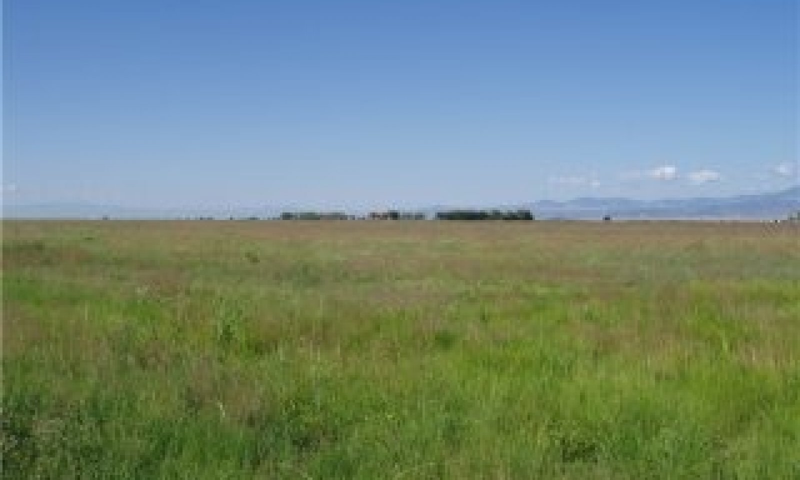
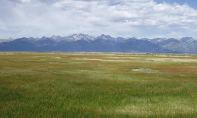
This is a productive grass-dominant sub-irrigated meadow. This state evolved with grazing by herbivores such as bison and elk and is well suited for grazing by wildlife and livestock. It can be found on areas that are properly managed with grazing that allows for adequate recovery periods following each grazing event.
Submodel
Mechanism
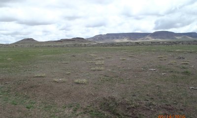
Long-term, repetitive defoliation with high utilization of plant species will decrease vigor and mortality of the most palatable species such as alkali sacaton while undesirable species become more prevalent. Production, perennial species diversity, and cover has been significantly reduced. Degrading feedbacks that are associated with bare ground and annuals have greatly increased.
Mechanism
Multiple years of excessive irrigation runoff from adjacent crop fields. This excessive irrigation decreases tall warm season grasses such as alkali sacaton and increases species such as rushes and sedges that can withstand extra water.
Mechanism
A well-managed, appropriately stocked livestock grazing rotation with tactical recovery periods will help reclaim this site. Local expertise suggests high density stocking with quick rotations (5-7 days) can reclaim the site from a bare ground, noxious weed community to one which produces 2500 lbs/ac in the reference community phase.
.
Mechanism
Once the irrigation has stopped flowing annually the site dries out and has to contend with extra accumulated salts in the surface soil. Over a long period of time using cattle in a well-managed grazing situation with appropriate/adequate restoration periods this site can be restored to reference.
Model keys
Briefcase
Add ecological sites and Major Land Resource Areas to your briefcase by clicking on the briefcase (![]() ) icon wherever it occurs. Drag and drop items to reorder. Cookies are used to store briefcase items between browsing sessions. Because of this, the number of items that can be added to your briefcase is limited, and briefcase items added on one device and browser cannot be accessed from another device or browser. Users who do not wish to place cookies on their devices should not use the briefcase tool. Briefcase cookies serve no other purpose than described here and are deleted whenever browsing history is cleared.
) icon wherever it occurs. Drag and drop items to reorder. Cookies are used to store briefcase items between browsing sessions. Because of this, the number of items that can be added to your briefcase is limited, and briefcase items added on one device and browser cannot be accessed from another device or browser. Users who do not wish to place cookies on their devices should not use the briefcase tool. Briefcase cookies serve no other purpose than described here and are deleted whenever browsing history is cleared.
Ecological sites
Major Land Resource Areas
The Ecosystem Dynamics Interpretive Tool is an information system framework developed by the USDA-ARS Jornada Experimental Range, USDA Natural Resources Conservation Service, and New Mexico State University.


