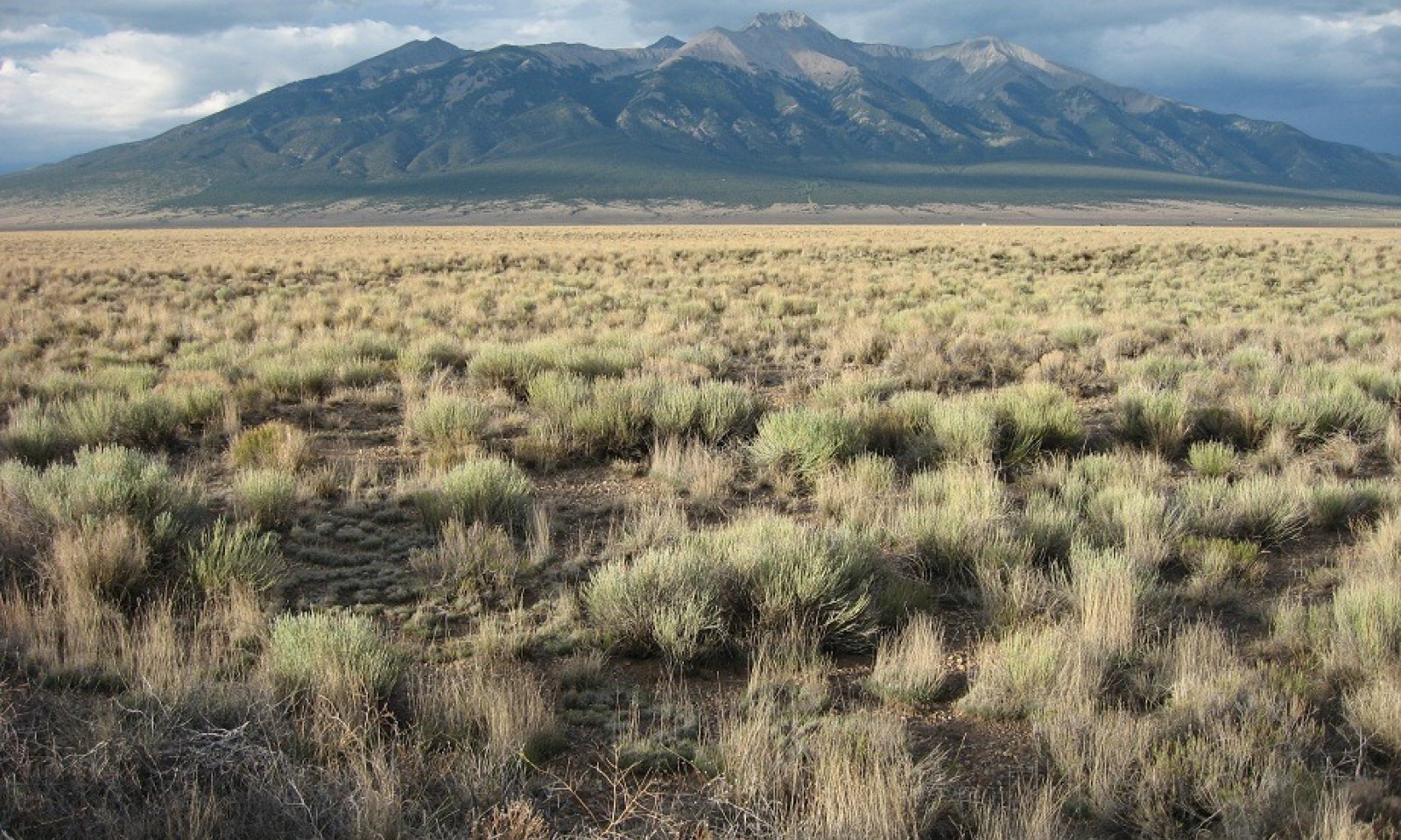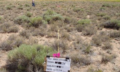
Sandy Bench
Scenario model
Current ecosystem state
Select a state
Management practices/drivers
Select a transition or restoration pathway
- Transition T1A More details
- Transition T1B More details
- Restoration pathway R2A More details
- Restoration pathway R3A More details
-
No transition or restoration pathway between the selected states has been described
Target ecosystem state
Select a state
Description
The reference state has a mix of cool and warm season grasses, forbs, and shrubs. Bare ground is minimal and ecological processes are most functional. The state can be variable from grass dominant to shrub dominant.
Dominant grasses include Indian ricegrass, needle-and-thread, spike dropseed, and western wheatgrass. Smaller amounts of blue grama, sand dropseed, squirreltail, and slimstem muhly, may also be found. Forbs and shrubby plants such as scarlet globemallow, buckwheat, prairie sagewort, prickly pear, yucca, skunkbrush sumac, apache plume, wax currant, winterfat and Greene's rabbitbrush are scattered in small amounts throughout the plant community.
Resilience management
The reference state is the most resilient to disturbance. Bare ground is minimal and a mix of structural-functional groups provide the most ecosystem services. Shrubs with deep tap roots help anchor the site and can withstand drought by drawing moisture from deep in the sandy profile. Grasses with fibrous root systems add organic matter to the soil which eventually cycles back to plant nutrients through mineralization. The microbial community secretes exudates which help bond soil particles providing aggregate stability. This intern improves soil stability and water storage. Overall range health is at its healthiest in the reference state.
Submodel
Description
This site has crossed a threshold to a shrub dominated state with active soil erosion. The topsoil has eroded, degrading the site to coppice dunes. Soil textures are loamy sand to sand with high erosion and deposition. The plant community is mostly rabbitbrush with some annuals such as Russian thistle and lambs quarter.
Submodel
Description
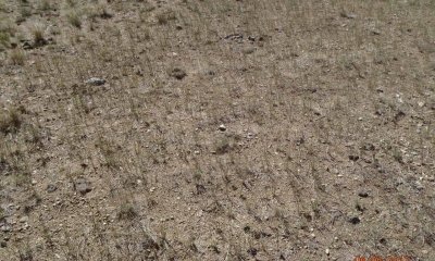
Where the site is sandy loam in texture the eroded state primarily consists of bare ground with sporadic grass cover and annuals.
Resilience management
This site is not very resilient to disturbance as hydrologic function is very low.
Submodel
Mechanism
Where the site has coarser textured soils, drivers such as long-term repetitive defoliation at high utilization rates that does not allow for preferred species to recover and will lead toward a state change. Repeated, high utilization on both preferred grasses and shrubs during drought will help speed the degradation. Once excessive erosion starts to occur, only deep rooted, disturbance-driven basal sprouters such as rabbitbrush will survive.
Mechanism
Preferred species of grass and shrubs have been reduced to where bare ground is dominant. Long term grazing without adequate rest and often with high utilization has driven the site to a threshold. High utilization during drought is often a trigger.
Mechanism
Restoration starts with the stabilization of soil. This means managing to promote colonization by a diversity of plants, promoting the accumulation of litter, and allowing for plant growth following precipitation events.
Model keys
Briefcase
Add ecological sites and Major Land Resource Areas to your briefcase by clicking on the briefcase (![]() ) icon wherever it occurs. Drag and drop items to reorder. Cookies are used to store briefcase items between browsing sessions. Because of this, the number of items that can be added to your briefcase is limited, and briefcase items added on one device and browser cannot be accessed from another device or browser. Users who do not wish to place cookies on their devices should not use the briefcase tool. Briefcase cookies serve no other purpose than described here and are deleted whenever browsing history is cleared.
) icon wherever it occurs. Drag and drop items to reorder. Cookies are used to store briefcase items between browsing sessions. Because of this, the number of items that can be added to your briefcase is limited, and briefcase items added on one device and browser cannot be accessed from another device or browser. Users who do not wish to place cookies on their devices should not use the briefcase tool. Briefcase cookies serve no other purpose than described here and are deleted whenever browsing history is cleared.
Ecological sites
Major Land Resource Areas
The Ecosystem Dynamics Interpretive Tool is an information system framework developed by the USDA-ARS Jornada Experimental Range, USDA Natural Resources Conservation Service, and New Mexico State University.


