Deep Sands 7-9 PZ
Scenario model
Current ecosystem state
Select a state
Management practices/drivers
Select a transition or restoration pathway
- Transition T1A More details
- Restoration pathway R2A More details
-
No transition or restoration pathway between the selected states has been described
Target ecosystem state
Select a state
Description
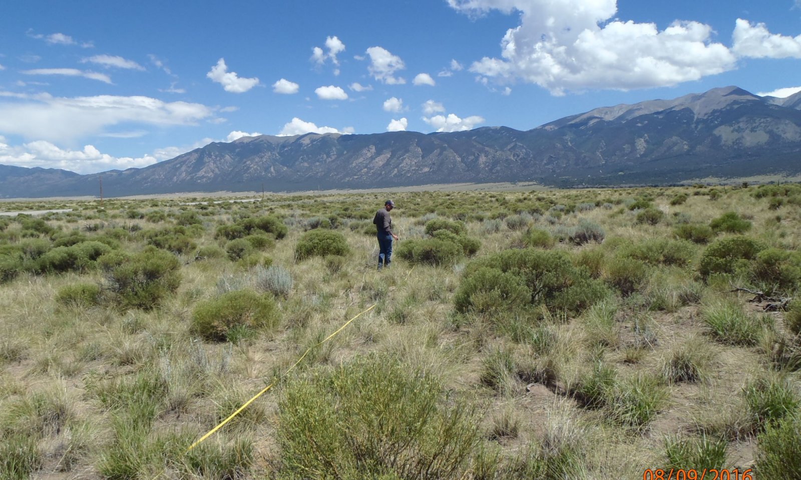
In the reference state there is a diversity of cool and warm season grasses, forbs, and shrubs. Bare ground is minimal as cover from plants and litter provide protection to the soil surface.
Resilience management
The reference state is resilient to disturbance. A variety of root systems from grasses, forbs, and shrubs anchor the soil and provide the needed organic carbon and soil binding agents to promote a stable A horizon. Plant cover protects the surface from wind and water erosion and plant production both above and below provide for healthy energy, nutrient, and water cycles.
Submodel
State 2
Degraded


Description
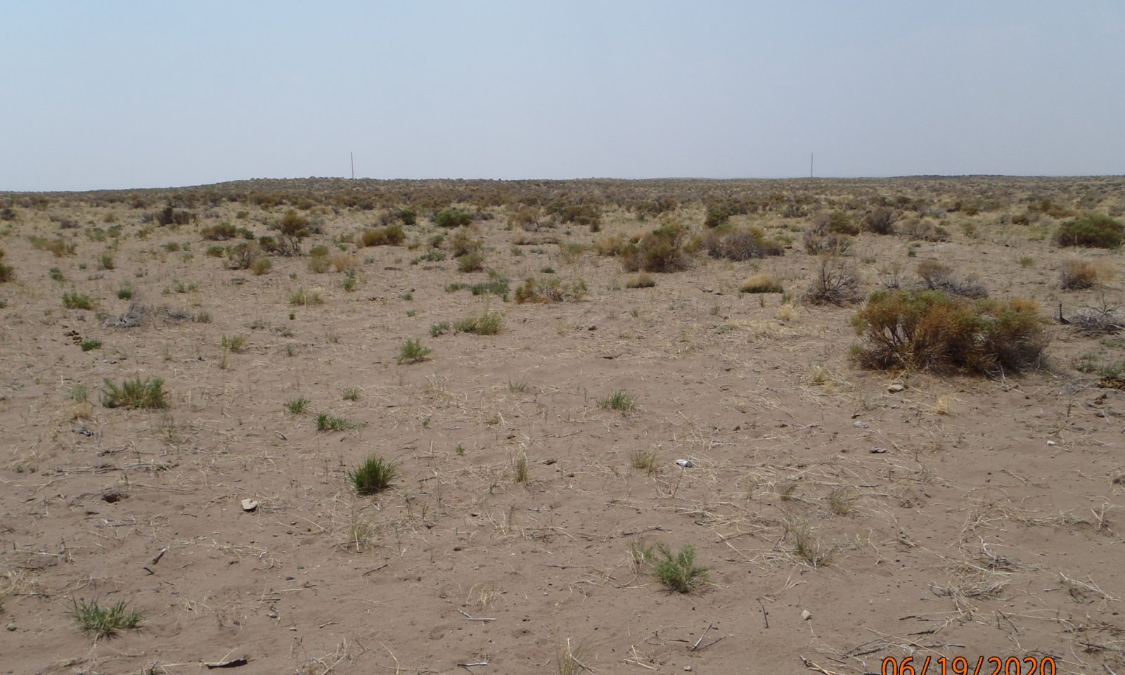
The degraded state has lost much of the valuable plant cover and root systems and is highly sensitive to erosional forces.
Resilience management
The eroded state has lost much of its valuable A horizon, exposing the sandy subsurface. Once this happens blowouts and dune shifting due to large scale erosion and deposition becomes common. The site has very low resiliency to drought as many of the covering plants are annuals and water retention is very low.
Submodel
Mechanism
The most significant long-term driver is grazing management where livestock focus on preferred, reference species, with high utilization, repetitive defoliation over a long period of time. Not allowing preferred species to grow, and produce seed and root stock eventually decreases vigor and increases mortality in times of drought stress. Eventually erosional forces cause the loss of the valuable loamy sand A horizon. Once this occurs the underlying sand is exposed causing the site to cross a threshold to the degraded state.
Model keys
Briefcase
Add ecological sites and Major Land Resource Areas to your briefcase by clicking on the briefcase (![]() ) icon wherever it occurs. Drag and drop items to reorder. Cookies are used to store briefcase items between browsing sessions. Because of this, the number of items that can be added to your briefcase is limited, and briefcase items added on one device and browser cannot be accessed from another device or browser. Users who do not wish to place cookies on their devices should not use the briefcase tool. Briefcase cookies serve no other purpose than described here and are deleted whenever browsing history is cleared.
) icon wherever it occurs. Drag and drop items to reorder. Cookies are used to store briefcase items between browsing sessions. Because of this, the number of items that can be added to your briefcase is limited, and briefcase items added on one device and browser cannot be accessed from another device or browser. Users who do not wish to place cookies on their devices should not use the briefcase tool. Briefcase cookies serve no other purpose than described here and are deleted whenever browsing history is cleared.
Ecological sites
Major Land Resource Areas
The Ecosystem Dynamics Interpretive Tool is an information system framework developed by the USDA-ARS Jornada Experimental Range, USDA Natural Resources Conservation Service, and New Mexico State University.

