Basalt Hill 7-12 PZ
Scenario model
Current ecosystem state
Select a state
Management practices/drivers
Select a transition or restoration pathway
- Transition T1A More details
- Restoration pathway R2A More details
-
No transition or restoration pathway between the selected states has been described
Target ecosystem state
Select a state
Description
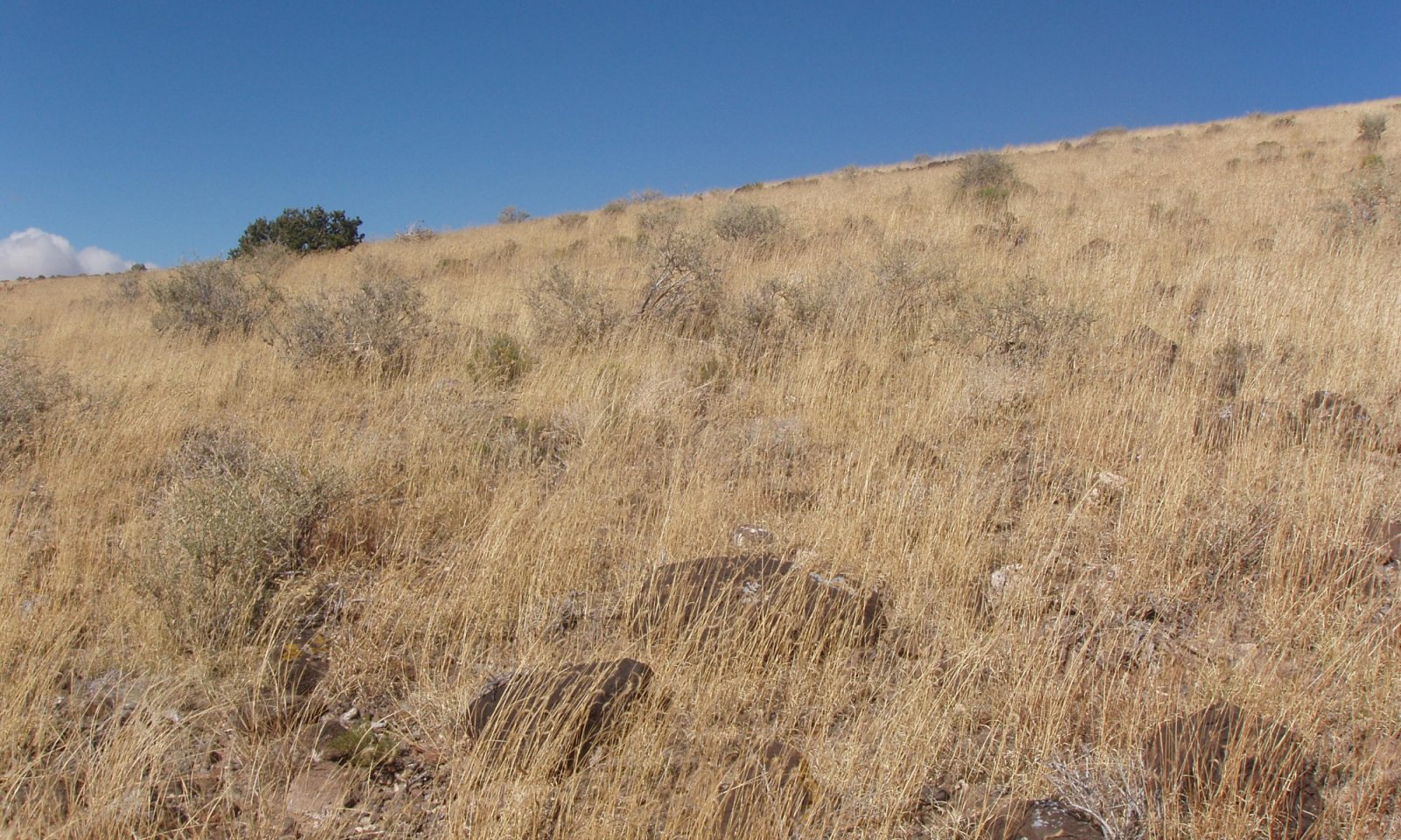
The reference state will have a gradient of plant communities based on abiotic factors. North facing slopes will have shrubs such as big sagebrush and stunted pinon and juniper. South facing slopes will favor grasses. Those areas high in CaCo3 will favor winterfat. Indian ricegrass may be the most abundant plant species spanning all gradients. Blue grama, squirreltail, and western wheatgrass will be spread across the site as well.
Resilience management
The reference state is the most resilient to management. It provides the most cover which protects the soil surface from erosion, captures additional moisture, aids in infiltration, and helps decrease moisture loss. There are a variety of plants and root systems which can take advantage of high intensity precipitation events as well as moisture deep in the cracks and fissures of the bedrock.
Submodel
Resilience management
The degraded state is the least resilient to disturbance. Range health has suffered as plants, roots, litter, organic matter, and aggregate stability have been lowered. This degradation has increased soil erosion and has lowered water capture and retention.
Submodel
Mechanism
The principal driver is a long-term grazing strategy where palatable plants are repetitively grazed and browsed at high utilization limiting growing opportunities. As plant mortality increases, feedbacks related to increased bare ground and soil loss eventually cause this site to cross a threshold. Drought exacerbates the situation and can quickly trigger a state shift, especially if coupled with high utilization and repetitive defoliation.
Mechanism
The soil must slowly be restored and this requires stabilizing agents such as cover, root systems, organic matter, and aggregate stability. Grazing management with monitoring and adaptive management can be part of the process. A set-back to the shrubs, such as fire on big sagebrush may also be part of the process.
Model keys
Briefcase
Add ecological sites and Major Land Resource Areas to your briefcase by clicking on the briefcase (![]() ) icon wherever it occurs. Drag and drop items to reorder. Cookies are used to store briefcase items between browsing sessions. Because of this, the number of items that can be added to your briefcase is limited, and briefcase items added on one device and browser cannot be accessed from another device or browser. Users who do not wish to place cookies on their devices should not use the briefcase tool. Briefcase cookies serve no other purpose than described here and are deleted whenever browsing history is cleared.
) icon wherever it occurs. Drag and drop items to reorder. Cookies are used to store briefcase items between browsing sessions. Because of this, the number of items that can be added to your briefcase is limited, and briefcase items added on one device and browser cannot be accessed from another device or browser. Users who do not wish to place cookies on their devices should not use the briefcase tool. Briefcase cookies serve no other purpose than described here and are deleted whenever browsing history is cleared.
Ecological sites
Major Land Resource Areas
The Ecosystem Dynamics Interpretive Tool is an information system framework developed by the USDA-ARS Jornada Experimental Range, USDA Natural Resources Conservation Service, and New Mexico State University.


