
Natural Resources
Conservation Service
Ecological site R051XY294CO
Valley Sand
Last updated: 12/12/2024
Accessed: 02/08/2026
General information
Provisional. A provisional ecological site description has undergone quality control and quality assurance review. It contains a working state and transition model and enough information to identify the ecological site.
MLRA notes
Major Land Resource Area (MLRA): 051X–High Intermountain Valleys
This MLRA encompasses the San Luis Valley in south central Colorado and the Taos Plateau and Taos alluvial fans of north central New Mexico. As part of the northern portion of the Rio Grande Rift, the MLRA consists of large, alluvium filled basins washed down from adjacent mountain ranges. The Rio Grande River flows through this MLRA, continuing its long function of carrying mountain sediment down to the basin. Cenozoic volcanism is an extensive characteristic of the MLRA where large basalt flows with volcanic hills and domes are abundant. Ancient Lake Alamosa is a large feature within the MLRA..
LRU notes
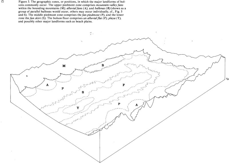
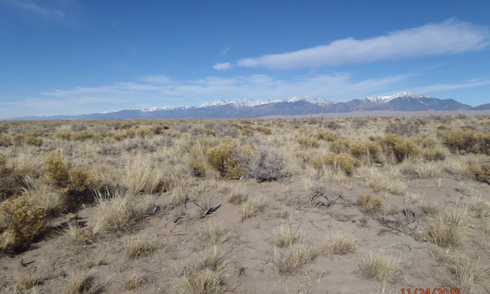
The Valley Sand Ecological Site occurs on the alluvial flat portion of the basin floor within the San Luis Valley. It is mostly comprised of Holocene age portions of the alluvial flat but may overlap and merge with relic, Pleistocene aged, surfaces. Where rivers and large drainages have cut across the alluvial flat it may appear on low terraces and abandoned floodplains. On the leeward side of large tributaries, soils will have formed in wind-blown sandy alluvium, scoured out of the drainages.
Classification relationships
NRCS:
Major Land Resource Area 51, High Intermountain Valleys (United States Department of Agriculture, Natural Resources Conservation Service, 2006).
USFS:
331J – Northern Rio Grande Basin M331Ic > 331Ja - San Luis Valley, 331Jb - San Luis Hills and 331C - Mogotes
EPA:
22 - Arizona/New Mexico Plateau > 22a - San Luis Shrublands and Hills ; 22b -San Luis Alluvial Flats and Wetlands ; 22c - Salt Flats; 22e - Sand Dunes and Sand Sheets and 22f -Taos Plateau (Griffith, 2006).
USGS:
Southern Rocky Mountain Province
Ecological site concept
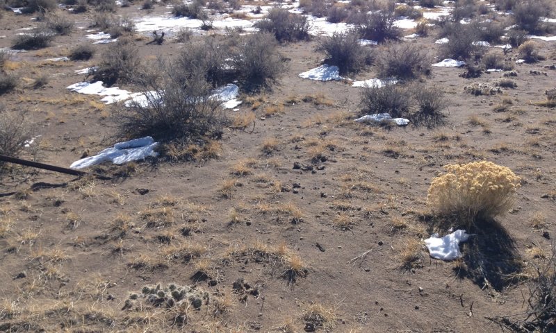
Soils are deep to very deep and range from sandy to course-loamy in the particle size-control section.
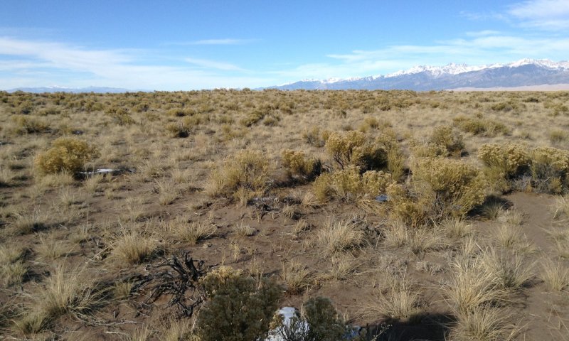
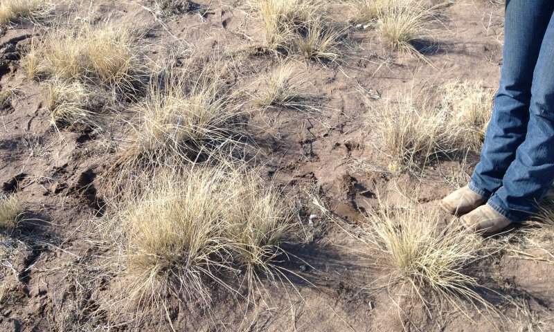
The vegetation is made up of both grasses that thrive in sandy soils and deep-rooted, salt tolerant brush species. Much of this site has been irrigated and planted to crops such as potatoes, barley, oats, and alfalfa.
Associated sites
| R051XY315CO |
Wet Meadow 6-10 PZ This site has a shallow to moderately deep water table. Soil textures are loamy to clayey. |
|---|---|
| R051XY263CO |
Salt Flats The Salt Flats also occupy the alluvial flat of the basin floor but have finer textured soils and slick spot areas where clays and salts have accumulated. |
| R051XY263CO |
Salt Flats The sandy bench is similar but occurs on the Piedmont slope, is not derived from re-worked, Holocene aged alluvium and does not have a water table. |
| R051XY275CO |
Deep Sands 7-9 PZ The Deep Sands site is part of the sand sheet that surrounds the active dune field. Soils are deep and sandy but not skeletal nor on the mountain front alluvial fan. |
| R051XY317CO |
Foothill Loam The Foothill Loam site does not have the eolian influence and textures are not as course. |
Similar sites
| R051XY312CO |
Sand Hummocks This site exists in the lowest reaches of this closed basin. It is intermingled with the alkali overfow site and is correlated to the playa dunes component of the basin floor. Because the soils were developed from coarse, wind-blown material on the leeward side of a playa and erosion and deposition are a constant issue, this site can develop "hummocks" and the plant community exists as a sparse, uneven cover of grass and shrubs. |
|---|---|
| R051XY275CO |
Deep Sands 7-9 PZ The Deep Sands site is part of the sand sheet that surrounds the active dune field. Soils are deep and sandy but not skeletal nor on the mountain front alluvial fan. |
| R051XY273CO |
Sandy Bench The sandy bench is similar but occurs on the Piedmont slope, is not derived from re-worked, Holocene aged alluvium and does not have a water table. |
Table 1. Dominant plant species
| Tree |
Not specified |
|---|---|
| Shrub |
(1) Atriplex canescens |
| Herbaceous |
(1) Achnatherum hymenoides |
Click on box and path labels to scroll to the respective text.
