Sand Hummocks
Scenario model
Current ecosystem state
Select a state
Management practices/drivers
Select a transition or restoration pathway
- Transition T1A More details
- Restoration pathway R2A More details
-
No transition or restoration pathway between the selected states has been described
Target ecosystem state
Select a state
Description
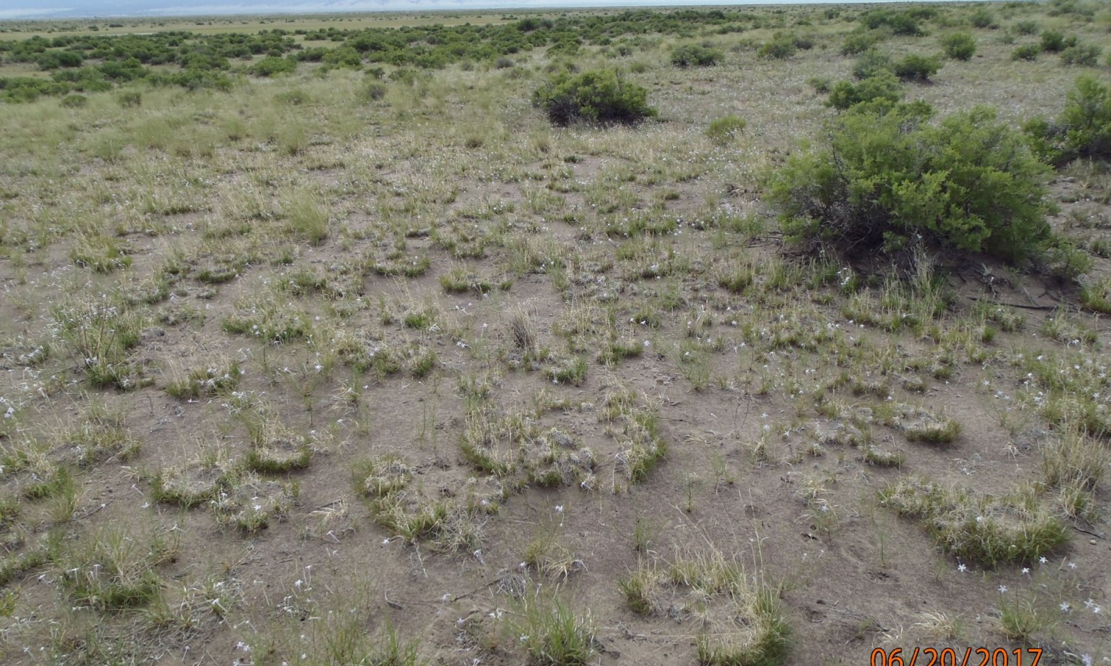
The reference state has a mix of shrubs, grass and forbs. It provides the greatest soil stability and ecological services. Bare ground is minimal, creating maximum protection against soil erosion processes.
Resilience management
As occupying a playa dune landform this site is a sink for windblown material and must therefore have a healthy plant community to withstand both erosion and deposition. A high diversity of shrubs, grass, and forbs with minimal bare soil will help sustain ecosystem process and keep the soil stable. Shrubs with deep tap roots that can extend to water and nutrients anchor the site and helps it sustain droughts. Grasses provide litter and cover to help protect the soil surface from wind and soil erosion. Their fibrous root systems also takes advantage of flash precipitation events and provides a valuable source of organic material which stores water and strengthens aggregate stability.
Submodel
Description
This site has very low soil stability manifesting in recent areas of erosion and deposition. Plant species diversity and production is low with a few hardy species hanging on. Sandy hills can be "blown out" when cover is lost.
Submodel
Mechanism
The major long-term driver is repetitive defoliation at high utilization, especially during drought. Plants lose vigor, become stressed and die. The reduction of cover and root systems causes feedback loops which weaken ecological processes and exacerbates soil loss.
Mechanism
The soil needs to re-stabilized through increased organic matter from the re-establishment of plants. This can begin to occur during a favorable precipitation season where remnant grasses can quickly expand and start to stabilize the soil. Great care must be taken to minimize grazing during the critical early stage of recovery.
Model keys
Briefcase
Add ecological sites and Major Land Resource Areas to your briefcase by clicking on the briefcase (![]() ) icon wherever it occurs. Drag and drop items to reorder. Cookies are used to store briefcase items between browsing sessions. Because of this, the number of items that can be added to your briefcase is limited, and briefcase items added on one device and browser cannot be accessed from another device or browser. Users who do not wish to place cookies on their devices should not use the briefcase tool. Briefcase cookies serve no other purpose than described here and are deleted whenever browsing history is cleared.
) icon wherever it occurs. Drag and drop items to reorder. Cookies are used to store briefcase items between browsing sessions. Because of this, the number of items that can be added to your briefcase is limited, and briefcase items added on one device and browser cannot be accessed from another device or browser. Users who do not wish to place cookies on their devices should not use the briefcase tool. Briefcase cookies serve no other purpose than described here and are deleted whenever browsing history is cleared.
Ecological sites
Major Land Resource Areas
The Ecosystem Dynamics Interpretive Tool is an information system framework developed by the USDA-ARS Jornada Experimental Range, USDA Natural Resources Conservation Service, and New Mexico State University.


