Wet Meadow 6-10 PZ
Circle-spoke model
Scenario model
Current ecosystem state
Select a state
Management practices/drivers
Select a transition or restoration pathway
- Transition T1B More details
- Restoration pathway R3A More details
-
No transition or restoration pathway between the selected states has been described
Target ecosystem state
Select a state
Description
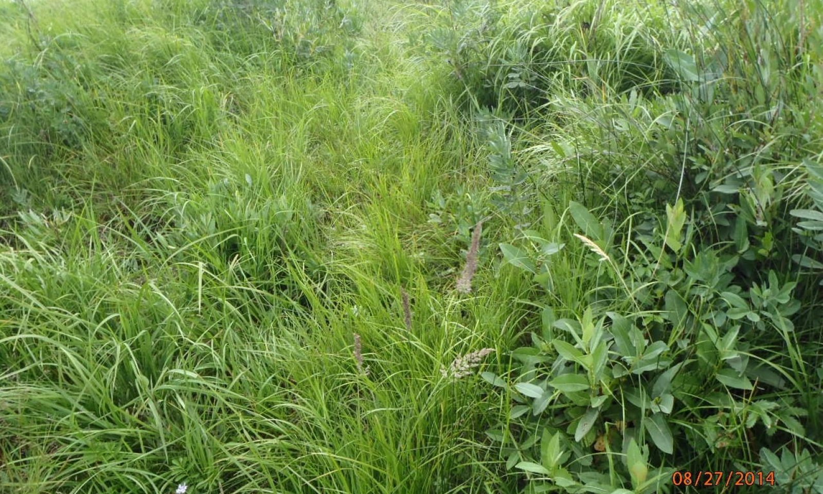
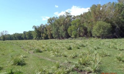
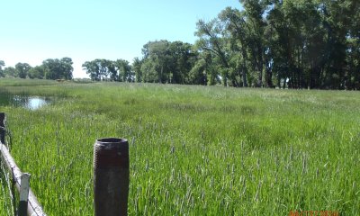
This state is dominated by tufted hairgrass and nebraska sedge in the wettest portions of the ecological site and grades toward slender wheat and western wheat where the site becomes drier. Small clumps of wild rose and willow will grow along stream banks and marshy areas.
Submodel
Description
Many of the desirable cool season grasses/grasslikes have decreased such as tufted hairgrass, Nebraska sedge, slender wheatgrass, and western wheatgrass. Undesirable grass and forb species have increased including: baltic rush, low sedges, mat muhly, Rocky Mountain Iris, cinquefoils, and water hemlock. The soil surface may become broken and hummocky.
Resilience management
Resilience to disturbance is lowest in the degraded state. Soils often become compacted decreasing the sites' ability to absorb water during flood events. This in turn increases runoff and stream channel degradation.
Submodel
Description
The wet meadow ecological site is often seeded to introduced hay and pasture grasses. Common grasses include: meadow brome, meadow creeping foxtail, orchardgrass, and timothy. The seeded pasture can then be grazed or hayed.
Submodel
Model keys
Briefcase
Add ecological sites and Major Land Resource Areas to your briefcase by clicking on the briefcase (![]() ) icon wherever it occurs. Drag and drop items to reorder. Cookies are used to store briefcase items between browsing sessions. Because of this, the number of items that can be added to your briefcase is limited, and briefcase items added on one device and browser cannot be accessed from another device or browser. Users who do not wish to place cookies on their devices should not use the briefcase tool. Briefcase cookies serve no other purpose than described here and are deleted whenever browsing history is cleared.
) icon wherever it occurs. Drag and drop items to reorder. Cookies are used to store briefcase items between browsing sessions. Because of this, the number of items that can be added to your briefcase is limited, and briefcase items added on one device and browser cannot be accessed from another device or browser. Users who do not wish to place cookies on their devices should not use the briefcase tool. Briefcase cookies serve no other purpose than described here and are deleted whenever browsing history is cleared.
Ecological sites
Major Land Resource Areas
The Ecosystem Dynamics Interpretive Tool is an information system framework developed by the USDA-ARS Jornada Experimental Range, USDA Natural Resources Conservation Service, and New Mexico State University.


