Loamy-South (16-18" PZ)
Scenario model
Current ecosystem state
Select a state
Management practices/drivers
Select a transition or restoration pathway
- Transition T1B More details
- Transition T1C More details
- Transition T1A More details
- Transition T6A More details
- Restoration pathway R2A More details
- Transition T2A More details
- Transition T2B More details
- Transition T6A More details
- Restoration pathway R3A More details
- Transition T6A More details
- Transition T4A More details
- Transition TB More details
- Transition T6A More details
-
No transition or restoration pathway between the selected states has been described
Target ecosystem state
Select a state
Description
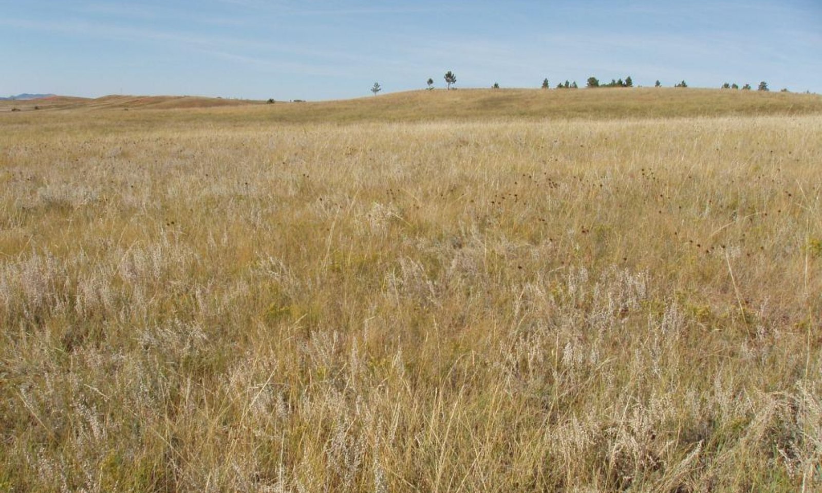
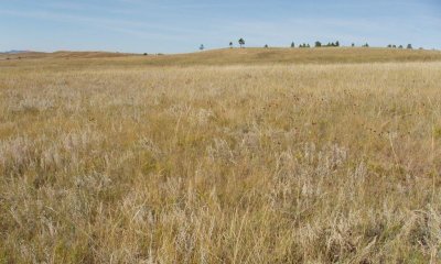
The Reference State represents what is believed to show the natural range of variability that dominated the dynamics of the ecological site prior to European settlement. This site in the Reference State (1.0) is dominated by cool-season grasses and subdominant warm-season grasses. Grazing, or the lack of grazing, fire, and drought are the major drivers between plant communities. Continuous season-long grazing can push this state to a warm-season shortgrass-dominated State (2.0). Non-use, no fire, and invasion of non-native cool-season grasses will result in a transition to a Native/Invaded State (4.0). Today, a similar state can be found on areas that are properly managed with grazing and prescribed burning, and sometimes on areas receiving occasional short periods of rest.
Submodel
Description
This state occurs as a result of above recommended stocking levels, inadequate recovery periods between grazing events, or a combination of these disturbances. This state is dominated by warm-season grasses, with cool-season grasses being subdominant. The shallow, compact nature of the roots of the dominant species causes increased runoff and reduced infiltration. These conditions combine to cause the site to become more droughty, and thus reduce the opportunity for recruitment and establishment of the taller-statured grasses. This state is relatively stable and resistant to change.
Historically, rangeland mechanical treatment of this site has been an option used to improve forage production and plant species composition on rangeland. These mechanical treatments include such things as contour furrowing, contour pitting, terracing, chiseling, and disking. The purpose of the practice is to mechanically break up a sod-bound vegetative condition or compacted soils, resulting in less runoff and better infiltration. Many of these treatments were implemented during the 1930s through the 1970s with mixed results. This is primarily due to improper grazing management following the renovation practice. Another drawback, in addition to the cost, is these practices result in a near-permanently roughed ground surface.
Submodel
Description
This state occurs as a result of extreme disturbance that typically removes most of the native species normally present on this site. Disturbance in the form of severe grazing over several years is the most typical. Occupation by black-tailed prairie dogs may also result in this transition. The dominant species present is highly variable, but the common characteristics include high amounts of bare ground, reduced soil aggregate stability, increased runoff, and increased erosion (including increased sediment loads in the runoff). Restoration of the ecological processes will be very difficult.
Submodel
Description
The Native/Invaded State is dominated by native cool- and warm-season grasses, and subdominant non-native cool-season grasses. It can be found on areas that would appear to be properly managed with grazing and possibly prescribed burning. Extended periods of non-use and no fire, or long-term light grazing can result in the invasion and establishment of non-native cool-season grasses onto this site. If the native cool-season grasses decline a corresponding increase of non-native cool-season grasses can occur. The non-native cool-season grasses will include, smooth brome, Kentucky bluegrass, cheatgrass, and field brome.
Submodel
Description
This State can be transitioned to from any plant community. The two separate vegetative plant communities, Go-Back and Seeded, are highly variable in nature. They are derived through different management scenarios and are not related successionally. Infiltration, runoff, and soil erosion will vary depending on the vegetation present on the site.
The Go-Back Plant Community (5.1) was previously tilled for crop production and then abandoned. The plant community that develops on this site will be greatly influenced by the plant communities that are located on adjacent land. The Seeded Plant Community (5.2) was typically tilled and then seeded to a perennial forage species or mix of species.
Submodel
Mechanism
Continuous seasonal grazing (stocking levels above carrying capacity for extended portions of the growing season, and at the same time of year each year, typically beginning early in the season); continuous season-long grazing; or extended periods of drought will transition the Reference State (1.0) to the Shortgrass Sod State (2.0). This transition is most likely to occur from the Western Wheatgrass-Blue Grama-Buffalograss/Shrubs Plant Community (1.2).
Mechanism
Heavy, continuous season-long grazing; frequent and severe defoliation; or heavy disturbance; will transition the Reference State (1.0) to the Early Successional State (3.0).
Mechanism
Continuous summer seasonal grazing; long-term light grazing; or non-use and no fire; and the invasion of non-native cool-season grasses; will transition the Reference State (1.0) to the Native/Invaded State (4.0).
Mechanism
Heavy disturbance including soil erosion; tillage; abandoned cropland; or seeding to improved pasture species; result in a transition to the Disturbed State (5.0).
Mechanism
Long-term prescribed grazing (moderate stocking levels coupled with adequate recovery periods, or other grazing systems such as high-density, low-frequency intended to treat specific species dominance, or periodic light to moderate stocking levels possibly including periodic rest) may lead the Shortgrass Sod State (2.0) over a threshold to the Reference State (1.0). The transition will probably be to the Western Wheatgrass-Blue Grama-Buffalograss/Shrubs Plant Community (1.2), assuming adequate seed and vegetative sources are present. This could require significant time and inputs to achieve and, in the end, may not meet management objectives.
Relevant conservation practices
| Practice | External resources |
|---|---|
|
Prescribed Grazing |
Mechanism
Heavy, continuous season-long grazing; frequent severe defoliation; or heavy disturbance will likely move the Shortgrass Sod State (2.0) to the Early Successional State (3.0).
Mechanism
Long-term prescribed grazing, with change in season of use, adequate time for recovery, and a return to normal precipitation patterns following drought will result in a transition of the Shortgrass Sod State (2.0). Due to the invasion of non-native cool-season perennial grasses the trajectory of this transition will be towards the Native/Invaded State (4.0). This transition may not be fast or feasible.
Relevant conservation practices
| Practice | External resources |
|---|---|
|
Prescribed Grazing |
Mechanism
Heavy disturbance including soil erosion; tillage; abandoned cropland; or seeding to improved pasture species; results in a transition to the Disturbed State (5.0).
Mechanism
Removal of disturbances coupled with long-term prescribed grazing with change in season of use, and adequate recovery time following grazing events, may return the Early Successional State (3.0) to the Shortgrass Sod State (2.0). Herbaceous weed control may also be needed. This transition could require significant time and input to achieve and, in the end, may not meet management objectives.
Relevant conservation practices
| Practice | External resources |
|---|---|
|
Prescribed Grazing |
|
|
Herbaceous Weed Control |
Mechanism
Heavy disturbance including soil erosion; tillage; abandoned cropland; or seeding to improved pasture species; result in a transition to the Disturbed State (5.0).
Mechanism
Continuous season-long grazing; continuous seasonal grazing; or heavy grazing in combination with drought; will transition the Native/Invaded State (4.0) to the Shortgrass Sod State (2.0).
Mechanism
Heavy, continuous season-long grazing; frequent and severe defoliation; or heavy disturbance; will transition the Native/Invaded State (4.0) to the Early Successional State (3.0).
Model keys
Briefcase
Add ecological sites and Major Land Resource Areas to your briefcase by clicking on the briefcase (![]() ) icon wherever it occurs. Drag and drop items to reorder. Cookies are used to store briefcase items between browsing sessions. Because of this, the number of items that can be added to your briefcase is limited, and briefcase items added on one device and browser cannot be accessed from another device or browser. Users who do not wish to place cookies on their devices should not use the briefcase tool. Briefcase cookies serve no other purpose than described here and are deleted whenever browsing history is cleared.
) icon wherever it occurs. Drag and drop items to reorder. Cookies are used to store briefcase items between browsing sessions. Because of this, the number of items that can be added to your briefcase is limited, and briefcase items added on one device and browser cannot be accessed from another device or browser. Users who do not wish to place cookies on their devices should not use the briefcase tool. Briefcase cookies serve no other purpose than described here and are deleted whenever browsing history is cleared.
Ecological sites
Major Land Resource Areas
The Ecosystem Dynamics Interpretive Tool is an information system framework developed by the USDA-ARS Jornada Experimental Range, USDA Natural Resources Conservation Service, and New Mexico State University.