Sandy Bottomland 12-18" PZ
Scenario model
Current ecosystem state
Select a state
Management practices/drivers
Select a transition or restoration pathway
- Transition T1A More details
- Restoration pathway R2A More details
- Transition T2A More details
- Restoration pathway R3A More details
-
No transition or restoration pathway between the selected states has been described
Target ecosystem state
Select a state
Description
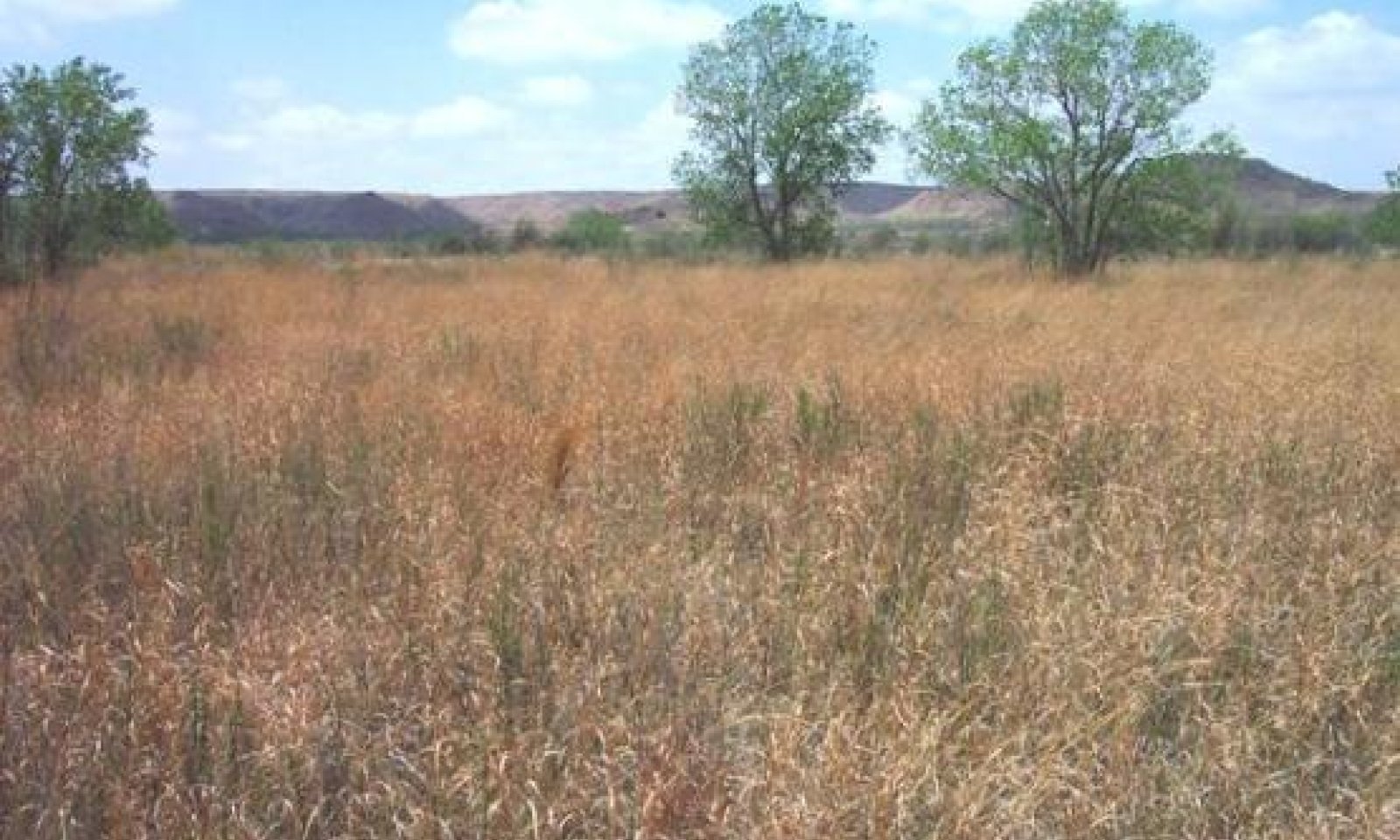
This is a tallgrass-dominant state with scattered shrubs and trees. This also represents the historic climax native plant community (HCPC). The major tallgrasses are switchgrass, Indiangrass, sand bluestem, and occasional common reedgrass. Tallgrasses comprise about 75% of species composition. For the shrub/tree component, there are scattered plants of willow baccharis, cottonwoods, and willows present and near the stream channel. Shrubs compose 10 percent or less, and trees (cottonwood and willows) 5 to 10 percent. Forbs are variable but usually make up 8 to 10 percent of composition.
Submodel
Description
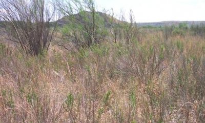
This community (2.1) is in transition from tallgrasses with a few woody plants to a community with significant shrubs. There are considerable tallgrasses remaining, and the community can be manipulated to return to a tallgrass-dominant community (1.1). Shrubs are in direct competition with tallgrasses and there are many small plants of salt cedar and willow baccharis present.
Submodel
Description
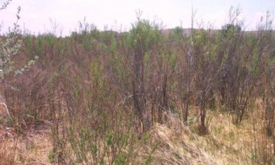
This Shrub/Shortgrass State is dominated by phreatophytic shrubs with saltcedar being the dominant species. Most of the tallgrass production has given way to shrubs and short-grasses. There is a major invasion of saltcedar with some Russian olive showing up. Short-grasses comprise the understory, and include inland saltgrass, common bermudagrass, and scratchgrass .
Submodel
Mechanism
With heavy continuous grazing, no fires, and no brush management practices conducted, the Grassland State will transition to the Mixed-grass/Shrub State.
Mechanism
With the implementation of conservation and management practices such as Prescribed Grazing, Brush Management, and Prescribed Burning, the Mixed-grass/Shrub State can be restored to the Grassland State.
Relevant conservation practices
| Practice | External resources |
|---|---|
|
Brush Management |
|
|
Prescribed Burning |
|
|
Prescribed Grazing |
Mechanism
With heavy continuous grazing, no fires, brush invasion of willow baccharis and saltcedar , and no brush management practices conducted, the Mixed-grass/Shrub State will transition to the Shrub/Shortgrass State.
Mechanism
With the implementation of desirable conservation practices such as Prescribed Grazing, Brush Management, and Prescribed Burning, the Shrub/Shortgrass State can be restored to the Mixed-grass/Shrub State.
Relevant conservation practices
| Practice | External resources |
|---|---|
|
Brush Management |
|
|
Prescribed Burning |
|
|
Prescribed Grazing |
Model keys
Briefcase
Add ecological sites and Major Land Resource Areas to your briefcase by clicking on the briefcase (![]() ) icon wherever it occurs. Drag and drop items to reorder. Cookies are used to store briefcase items between browsing sessions. Because of this, the number of items that can be added to your briefcase is limited, and briefcase items added on one device and browser cannot be accessed from another device or browser. Users who do not wish to place cookies on their devices should not use the briefcase tool. Briefcase cookies serve no other purpose than described here and are deleted whenever browsing history is cleared.
) icon wherever it occurs. Drag and drop items to reorder. Cookies are used to store briefcase items between browsing sessions. Because of this, the number of items that can be added to your briefcase is limited, and briefcase items added on one device and browser cannot be accessed from another device or browser. Users who do not wish to place cookies on their devices should not use the briefcase tool. Briefcase cookies serve no other purpose than described here and are deleted whenever browsing history is cleared.
Ecological sites
Major Land Resource Areas
The Ecosystem Dynamics Interpretive Tool is an information system framework developed by the USDA-ARS Jornada Experimental Range, USDA Natural Resources Conservation Service, and New Mexico State University.


