Red Shale 12-18" PZ
Scenario model
Current ecosystem state
Select a state
Management practices/drivers
Select a transition or restoration pathway
- Transition T1A More details
- Transition T1B More details
- Restoration pathway R2A More details
- Restoration pathway R3A More details
-
No transition or restoration pathway between the selected states has been described
Target ecosystem state
Select a state
State 1
Grassland State


Description
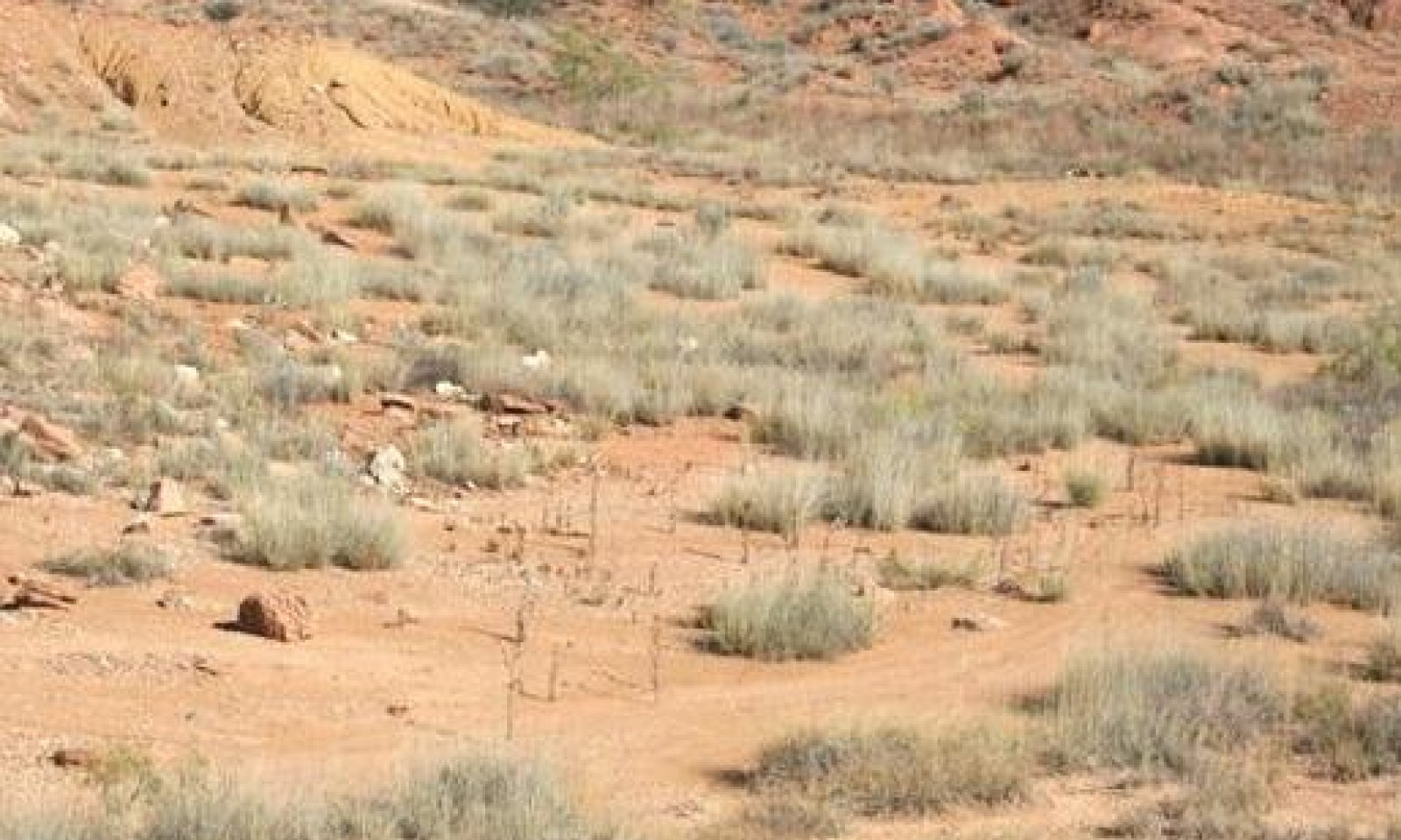
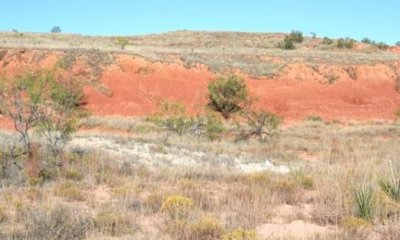
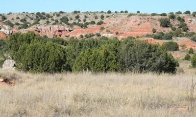
This state is generally characterized by mid- and short-grasses, a few deep rooted perennial forbs, and a few short shrubs. Scattered juniper is the only tree present. Isolated pockets of tallgrasses can be found, but not frequently. Deep-rooted perennial plants that can withstand these harsh conditions populate the site. This site has limited vegetative production potential, but can produce moderate amounts of grass especially in the areas of deeper soil.
The Shortgrass/Shrub Community consists of dominant shortgrasses with a strong mid-grass component. Shrubs/trees approach 10 to 15 percent canopy cover. There is also a good variety of perennial forbs. Bare soil approaches 20 percent. Soil is well-developed and surface erosion is minimal.
Submodel
Description
The Shortgrass/Shrub Community (2.1) shows the effects of grazing pressure, lack of fire, and long-term drought. Cover is reduced and erosion is accelerated. Heavy continuous grazing has reduced plant cover, litter, and mulch. There are defined water flow patterns resulting from increased runoff. Productivity has decreased. Site stability is impaired. Principal grass species are sideoats grama, blue grama, and black grama. Increase in woody shrubs and broom snakeweed. The primary half shrub is broom snakeweed with smaller amounts of mesquite and yucca. Percentage of bare ground is approaching >60%. Annual production ranges from 380 to 640 pounds per acre annually.
Submodel
Description
The Shrub/Shortgrass Community (3.1) shows the effects of heavy, continuous grazing and lack of fire. Oneseed juniper has increased to approximately 25 percent canopy cover with numerous seedlings present.
Heavy, continuous grazing has reduced mid-grass cover and increased bare soil where juniper is thick. Dominant grasses are short-grass species such as blue grama and galleta. Some increase in runoff is evident. Production is less than in the HCPC. Site is still relatively stable.
Submodel
Mechanism
With Heavy, Continuous Grazing, Lack Of Fire, Long-term Drought (greater than five years), and accelerated erosion, the Shortgrass/Midgrass/Shrub Community will transition into the Shortgrass/Shrub Community.
Mechanism
With Heavy, Continuous Grazing, Lack Of Fire, and Brush Invasion of juniper, the Shortgrass/Midgrass/Shrub Community will transition into the Shrub/Shortgrass Community.
Mechanism
With the implementation of conservation practices such as prescribed grazing with growing season rest, brush management, and range planting, the shortgrass/shrub community can be restored back to the shortgrass/midgrass/shrub community.
Relevant conservation practices
| Practice | External resources |
|---|---|
|
Brush Management |
|
|
Prescribed Grazing |
|
|
Range Planting |
Mechanism
With the implementation of various conservation practices such as prescribed grazing, brush management, Individual Plant Treatment, and Prescribed Burning, the Shrub/Shortgrass Community can be restored to the Shortgrass/Midgrass/Shrub Community.
Relevant conservation practices
| Practice | External resources |
|---|---|
|
Brush Management |
|
|
Prescribed Burning |
|
|
Prescribed Grazing |
Model keys
Briefcase
Add ecological sites and Major Land Resource Areas to your briefcase by clicking on the briefcase (![]() ) icon wherever it occurs. Drag and drop items to reorder. Cookies are used to store briefcase items between browsing sessions. Because of this, the number of items that can be added to your briefcase is limited, and briefcase items added on one device and browser cannot be accessed from another device or browser. Users who do not wish to place cookies on their devices should not use the briefcase tool. Briefcase cookies serve no other purpose than described here and are deleted whenever browsing history is cleared.
) icon wherever it occurs. Drag and drop items to reorder. Cookies are used to store briefcase items between browsing sessions. Because of this, the number of items that can be added to your briefcase is limited, and briefcase items added on one device and browser cannot be accessed from another device or browser. Users who do not wish to place cookies on their devices should not use the briefcase tool. Briefcase cookies serve no other purpose than described here and are deleted whenever browsing history is cleared.
Ecological sites
Major Land Resource Areas
The Ecosystem Dynamics Interpretive Tool is an information system framework developed by the USDA-ARS Jornada Experimental Range, USDA Natural Resources Conservation Service, and New Mexico State University.


