Sand Hills 16-21" PZ
Scenario model
Current ecosystem state
Select a state
Management practices/drivers
Select a transition or restoration pathway
-
Transition T1A
Absence of disturbance and natural regeneration over time, may be coupled with excessive grazing pressure
More details -
Restoration pathway R2A
Adequate rest from defoliation and removal of woody canopy, followed by reintroduction of historic disturbance regimes
More details -
Transition T2A
Absence of disturbance and natural regeneration over time, may be coupled with excessive grazing pressure
More details -
Restoration pathway R3A
Adequate rest from defoliation and removal of woody canopy
More details -
No transition or restoration pathway between the selected states has been described
Target ecosystem state
Select a state
Description
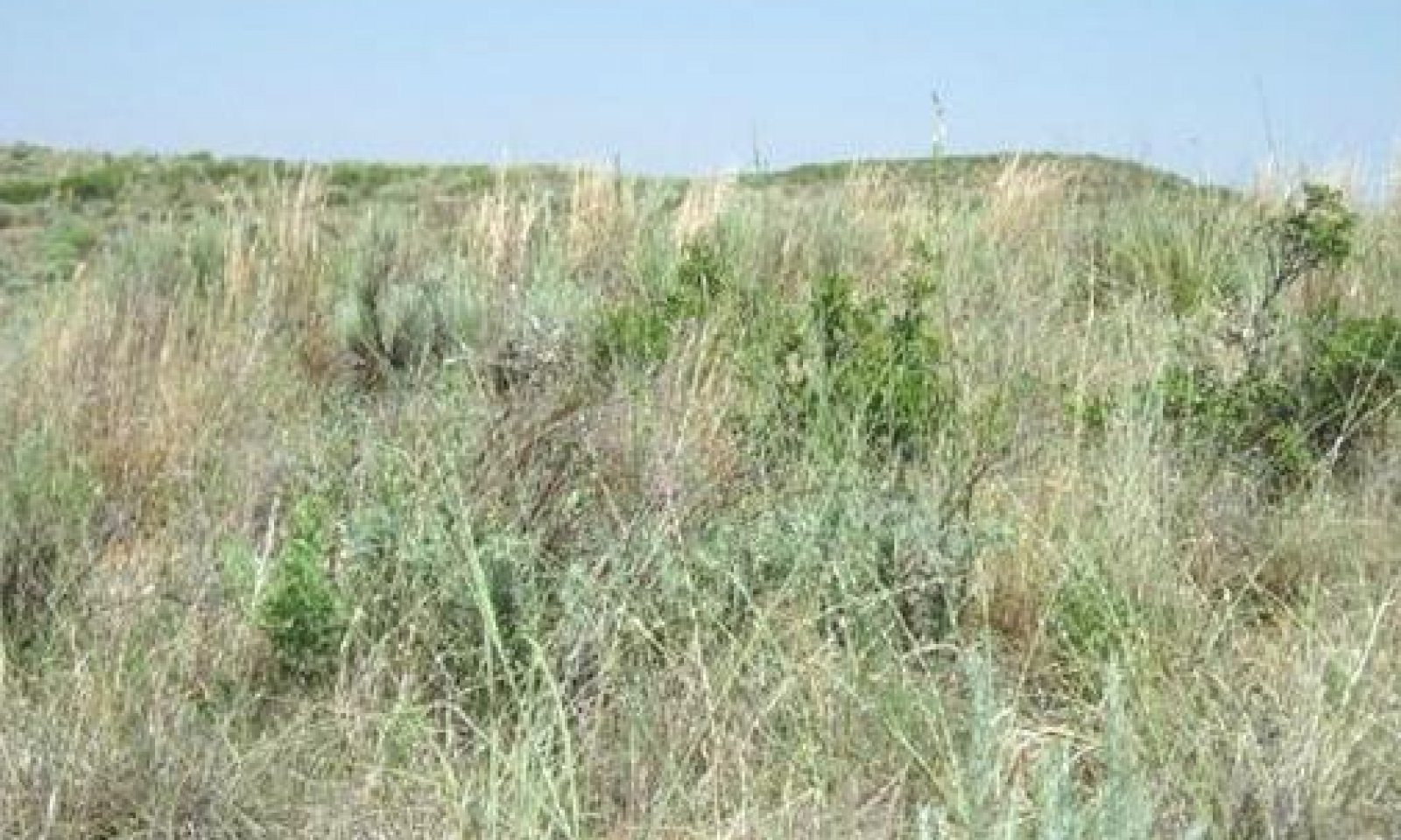
The reference plant community is a mixture of tallgrasses (50-60 percent), shrubs (35-45 percent), and perennial forbs (10-15 percent). The aspect also plays a role in the plant composition: north and easterly aspects were slightly more productive than the south and westerly aspects. Warm-season plants dominate the site. The major grass species are sand bluestem, little bluestem, and giant sandreed. There is a good variety of annual and perennial forbs. Sand shinoak, sand sagebrush, and skunkbush sumac are scattered throughout in a patchy pattern rather than a continuous canopy.
Submodel
Description
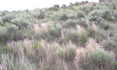
The Shrub/Midgrass Dominant Community (2.1) is dominated by shrubs (50 to 60+ percent) such as sand shinoak, sand sagebrush, and skunkbush sumac. Some sand hills sites may see an invasion of yucca plants. Perennial grasses (mainly midgrasses) and numerous annual/perennial forbs make up about 40 percent of the vegetation. Total vegetative production is decreasing and diversity is much less than the reference.
Submodel
Description
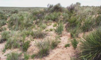
If heavy continuous grazing continues, along with periodic droughts, retrogression will move towards a Shrub Dominant Community (3.1). In extreme cases, shrubs will dominate with mainly annual forbs and grasses being present. Sand shinoak, sand sagebrush, and skunkbush sumac increase. Some sand hills sites may see a major increase in yucca plants. Numerous bare areas will be scattered throughout the site. The rolling mini-dune areas may begin to show signs of wind erosion from the lack of deep-rooted grass cover.
Submodel
Mechanism
Heavy or even moderately heavy continuous grazing with domestic livestock for prolonged periods will usually see the most palatable plants pressured severely. No fire and no brush management can also assist in the transition from a Tallgrass/Shrub Grassland State to a Shrub/Midgrass State.
Mechanism
With Prescribed Grazing and Brush Management (reduction and suppression but not eradication purposes) conservation practices, the Shrub/Midgrass State can be restored to the Tallgrass/Shrub Grassland State.
Relevant conservation practices
| Practice | External resources |
|---|---|
|
Brush Management |
|
|
Prescribed Grazing |
Mechanism
Without brush management and proper grazing, the woody species will continue to increase. No pest management and no fires will also contribute to the transition from the Shrub/Midgrass State to the Shrubland State.
Mechanism
Careful brush and pest management are needed to reduce the shrub dominance and provide a release of desirable grasses and forbs. Reseeding on this site is difficult and not usually successful. One to three years of complete rest would improve the amount of vegetative cover and would probably be a good first step. Then careful brush management to reduce sand shinoak, sand sagebrush, skunkbush sumac, and possibly yucca; as well as pest management to control annual weed competition should be applied.
Relevant conservation practices
| Practice | External resources |
|---|---|
|
Brush Management |
|
|
Prescribed Grazing |
|
|
Integrated Pest Management (IPM) |
Model keys
Briefcase
Add ecological sites and Major Land Resource Areas to your briefcase by clicking on the briefcase (![]() ) icon wherever it occurs. Drag and drop items to reorder. Cookies are used to store briefcase items between browsing sessions. Because of this, the number of items that can be added to your briefcase is limited, and briefcase items added on one device and browser cannot be accessed from another device or browser. Users who do not wish to place cookies on their devices should not use the briefcase tool. Briefcase cookies serve no other purpose than described here and are deleted whenever browsing history is cleared.
) icon wherever it occurs. Drag and drop items to reorder. Cookies are used to store briefcase items between browsing sessions. Because of this, the number of items that can be added to your briefcase is limited, and briefcase items added on one device and browser cannot be accessed from another device or browser. Users who do not wish to place cookies on their devices should not use the briefcase tool. Briefcase cookies serve no other purpose than described here and are deleted whenever browsing history is cleared.
Ecological sites
Major Land Resource Areas
The Ecosystem Dynamics Interpretive Tool is an information system framework developed by the USDA-ARS Jornada Experimental Range, USDA Natural Resources Conservation Service, and New Mexico State University.


