Sand Hills 16-24" PZ
Scenario model
Current ecosystem state
Select a state
Management practices/drivers
Select a transition or restoration pathway
-
Transition T1A
Absence of disturbance and natural regeneration over time, coupled with excessive grazing pressure
More details -
Restoration pathway R2A
Reintroduction of historic disturbance return intervals
More details -
Transition T2A
Absence of disturbance, natural regeneration over time, and prolonged excessive grazing pressure
More details -
Transition T3A
Chemical and/or physical removal of woody canopy
More details -
No transition or restoration pathway between the selected states has been described
Target ecosystem state
Select a state
Description
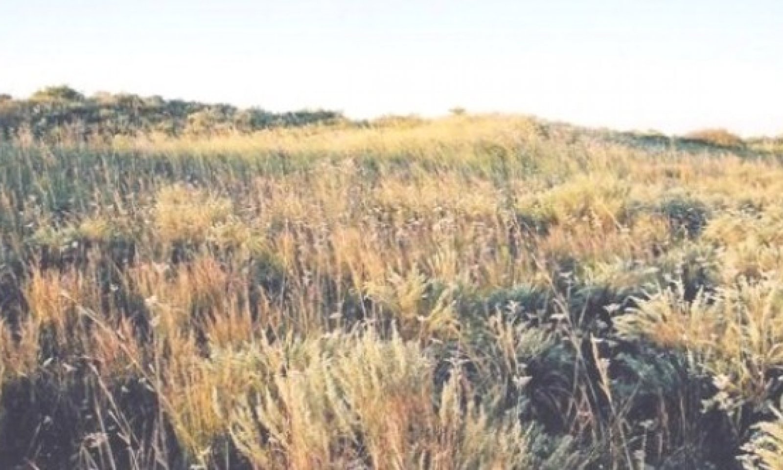
This is the reference or diagnostic community for the site. The description is based on early range site descriptions, clipping data, professional consensus of experienced range specialists, and analysis of field work.
The site has moderate plant diversity, and in a well managed state can be moderately productive. The major grass species are sand bluestem, little bluestem and giant sandreed. There is a good variety of forbs, both annual and perennial. Shrubs such as sand sagebrush and skunkbush sumac are scattered throughout in a patchy pattern rather than in a continuous canopy.
Submodel
Description
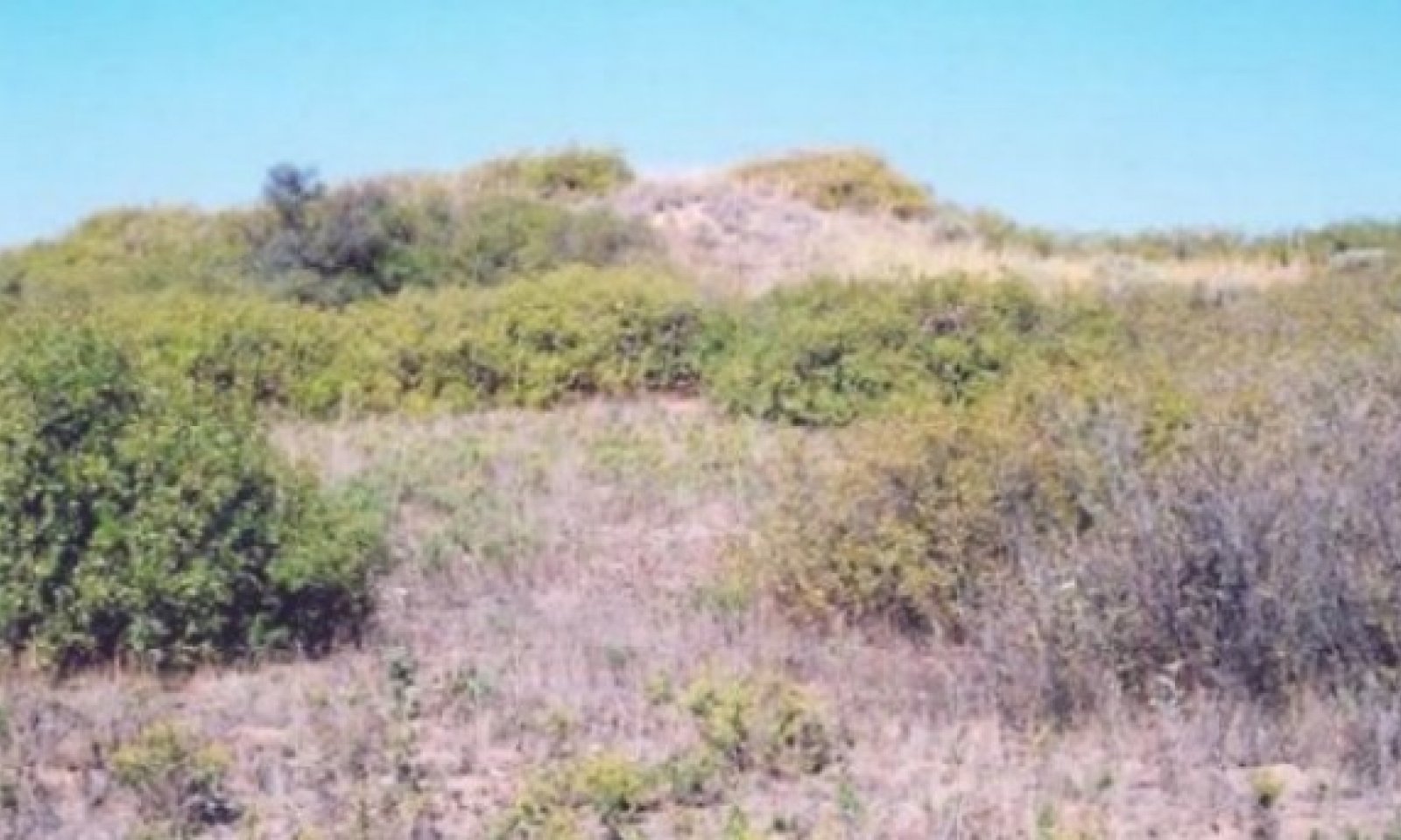
This Shrubland/Grassland State is dominated by shrubs such as sand sagebrush and skunkbush sumac, with approximately 20% perennial grasses (mainly midgrasses) and numerous annual forbs. It is much less diverse than the reference plant community and total production is somewhat less. Forbs are not as plentiful and the total productivity is generally somewhat less than the presumed historic plant community. The site is limited in forage production for livestock. The tallgrasses have decreased significantly and the shrubs have become very prominent.
Submodel
State 3
Shrubland/Annuals State


Description
This Shrubland/Annuals State is shrub dominant with annual forbs and annual grasses. Productivity is low and plant diversity is limited. Plant community is dominated by shrubs, mainly sand sagebrush or skunkbush sumac. There are very few perennial grasses present. Annual forbs and grasses prevail and vary in production depending on available moisture. If there are small amounts of perennial grasses remaining, the site may be able to be manipulated by brush management and long rest periods with periodic control of annual forb populations.
Submodel
Description
The Treated Grassland State is a tall/midgrass/shrub plant community that is a result of brush management. The grasses will be dominant with a small component of shrubs such as skunkbush sumac and sand sage. This community will eventually, through natural processes, regain the shrub component similar to the reference state.
Submodel
Mechanism
With heavy continuous grazing, no fires and no brush management practices, the Grassland State will transition into the Shrubland/Grassland State.
Mechanism
With the implementation of various conservation practices such as Prescribed Grazing, Prescribed Burning and Brush Management, the Shrubland/Grassland State will be restored back to the Grassland State.
Relevant conservation practices
| Practice | External resources |
|---|---|
|
Brush Management |
|
|
Prescribed Burning |
|
|
Prescribed Grazing |
Mechanism
With heavy continuous grazing, no fires, and no brush management, The Shrubland/Grassland State will transition to the Shrubland/Annuals State.
Constraints to recovery
Absence of disturbance, natural regeneration over time and prolonged excessive grazing pressure
Model keys
Briefcase
Add ecological sites and Major Land Resource Areas to your briefcase by clicking on the briefcase (![]() ) icon wherever it occurs. Drag and drop items to reorder. Cookies are used to store briefcase items between browsing sessions. Because of this, the number of items that can be added to your briefcase is limited, and briefcase items added on one device and browser cannot be accessed from another device or browser. Users who do not wish to place cookies on their devices should not use the briefcase tool. Briefcase cookies serve no other purpose than described here and are deleted whenever browsing history is cleared.
) icon wherever it occurs. Drag and drop items to reorder. Cookies are used to store briefcase items between browsing sessions. Because of this, the number of items that can be added to your briefcase is limited, and briefcase items added on one device and browser cannot be accessed from another device or browser. Users who do not wish to place cookies on their devices should not use the briefcase tool. Briefcase cookies serve no other purpose than described here and are deleted whenever browsing history is cleared.
Ecological sites
Major Land Resource Areas
The Ecosystem Dynamics Interpretive Tool is an information system framework developed by the USDA-ARS Jornada Experimental Range, USDA Natural Resources Conservation Service, and New Mexico State University.


