Moist Acidic Sandy Flatwoods
Scenario model
Current ecosystem state
Select a state
Management practices/drivers
Select a transition or restoration pathway
- Transition T1A More details
- Restoration pathway R2A More details
-
No transition or restoration pathway between the selected states has been described
Target ecosystem state
Select a state
State 1
Reference State





Description
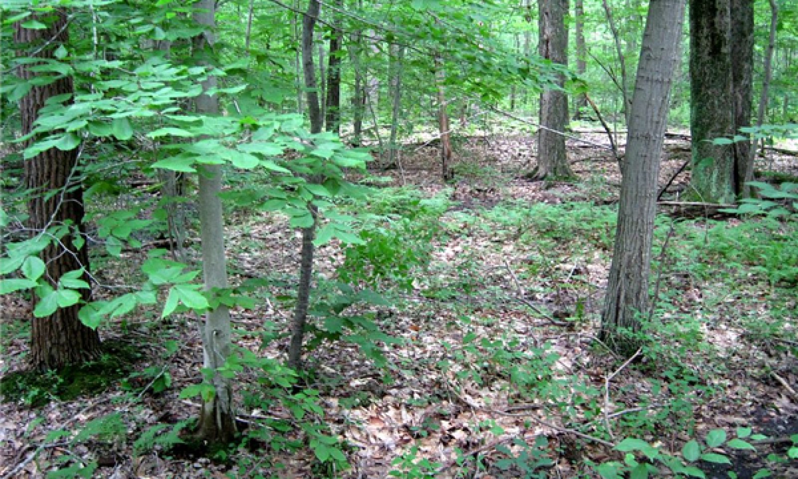
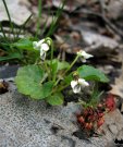
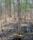
Prior to European-American settlement of the area, about 70 percent of the vegetation was dominated by very shade-tolerant species such as beech (Fagus grandifolia) and hemlock (Tsuga canadensis) (phase 1.2) and about 28 percent was dominated by a mix of white pine (Pinus strobus), oaks (Quercus spp.), and other hardwoods (phase 1.1; Albert, et al., 1995). Hemlock does not occur in northern Indiana, so there phase 1.2 was characterized by beech only. Because forests are still recovering from past logging, most forests today are intermediate in succession as phase 1.1. Red maple (Acer rubrum) overwhelmingly dominates the canopy, but beech can be found in high numbers in the understory, supporting the contention that future stands will naturally succeed to phase 1.2 beech-dominated forests. The most frequent canopy associates are red oak and black gum. Although usually not abundant in this region, black gum (Nyssa sylvatica) is a reliable indicator of acidic sites like these. Acid tolerant shrubs (e.g. blueberries, Vaccinium spp.; swamp or bristly dewberry, Rubus hispidus), forbs (e.g. partridge berry, Mitchella repens; Indian cucumber, Medeola virginiana), and ferns (e.g. cinnamon fern, Osmundastrum cinnamomeum; New York fern, Parathelypteris noveboracensis) are found in the understory. Disturbance from canopy openings or fire, favors species such as sassafras (Sassafras albidum), bracken fern (Pteridium aquilinum) and greenbrier (Smilax rotundifolia). On occasion, larger openings may allow for establishment of big tooth aspen (Populus grandidentata) (phase 1.3). Historically, these small gaps would have been too small to be mappable using General Land Office survey notes.
The fire return intervals for the reference state range from greater than 1,000 years for a northern hardwoods-hemlock dominated system to crown fires about every 290 years with understory fires every 70 years for a pine-oak dominated system (U.S. Department of the Interior, Geological Survey, 2008).
Submodel
States 1 and 5 (additional transitions)
1.1. Red Maple-Red Oak/Greenbrier/Bracken Fern
1.5. White Oak-White Pine/Bracken Fern-Little Bluestem
Description
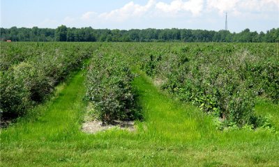
The Agriculture State accommodates the 46 percent of the sites that are actively cultivated, or are recovering from agriculture. This is a heterogeneous assemblage addressed here collectively. Included within the 46 percent is 20 percent of the area considered agriculture, 9 percent is managed vegetation, including tree plantations, and 18 percent is developed at low to high intensities (e.g. cities).
Submodel
Mechanism
The reference state transitions to the agricultural state with the clearing of woody vegetation and the establishment of crop plants. Depending on crop species, the site would require appropriate amounts of drainage and irrigation. Crops may also require the application of pesticides and fertilizers according to desired market specifications (e.g. “organic” or otherwise).
Mechanism
Control non-native invasive species and reestablish native plant species characteristic of the forested reference state. If applicable, cease nutrient enrichment (to allow excess calcium and nitrogen to be slowly flushed from the system or incorporated into biomass) or restore hydrology by blocking drainage ditches. If the site has been limed heavily, application of sulfur should be considered depending on restoration objectives.
Model keys
Briefcase
Add ecological sites and Major Land Resource Areas to your briefcase by clicking on the briefcase (![]() ) icon wherever it occurs. Drag and drop items to reorder. Cookies are used to store briefcase items between browsing sessions. Because of this, the number of items that can be added to your briefcase is limited, and briefcase items added on one device and browser cannot be accessed from another device or browser. Users who do not wish to place cookies on their devices should not use the briefcase tool. Briefcase cookies serve no other purpose than described here and are deleted whenever browsing history is cleared.
) icon wherever it occurs. Drag and drop items to reorder. Cookies are used to store briefcase items between browsing sessions. Because of this, the number of items that can be added to your briefcase is limited, and briefcase items added on one device and browser cannot be accessed from another device or browser. Users who do not wish to place cookies on their devices should not use the briefcase tool. Briefcase cookies serve no other purpose than described here and are deleted whenever browsing history is cleared.
Ecological sites
Major Land Resource Areas
The Ecosystem Dynamics Interpretive Tool is an information system framework developed by the USDA-ARS Jornada Experimental Range, USDA Natural Resources Conservation Service, and New Mexico State University.

